
Structure Model Creation from a Three Dimensional Surface

a three-dimensional surface and structure technology, applied in the field of structure model creation, can solve the problems of reducing the resources required to create collections of 3d models required to accurately describe geographic areas, reducing the labor intensity of manually creating 3d models for each structure in a metropolitan geographic area, and illustrating is merely representational

Active Publication Date: 2015-05-14
HERE GLOBAL BV
View PDF5 Cites 27 Cited by
  • Summary
  • Abstract
  • Description
  • Claims
  • Application Information

AI Technical Summary

Benefits of technology

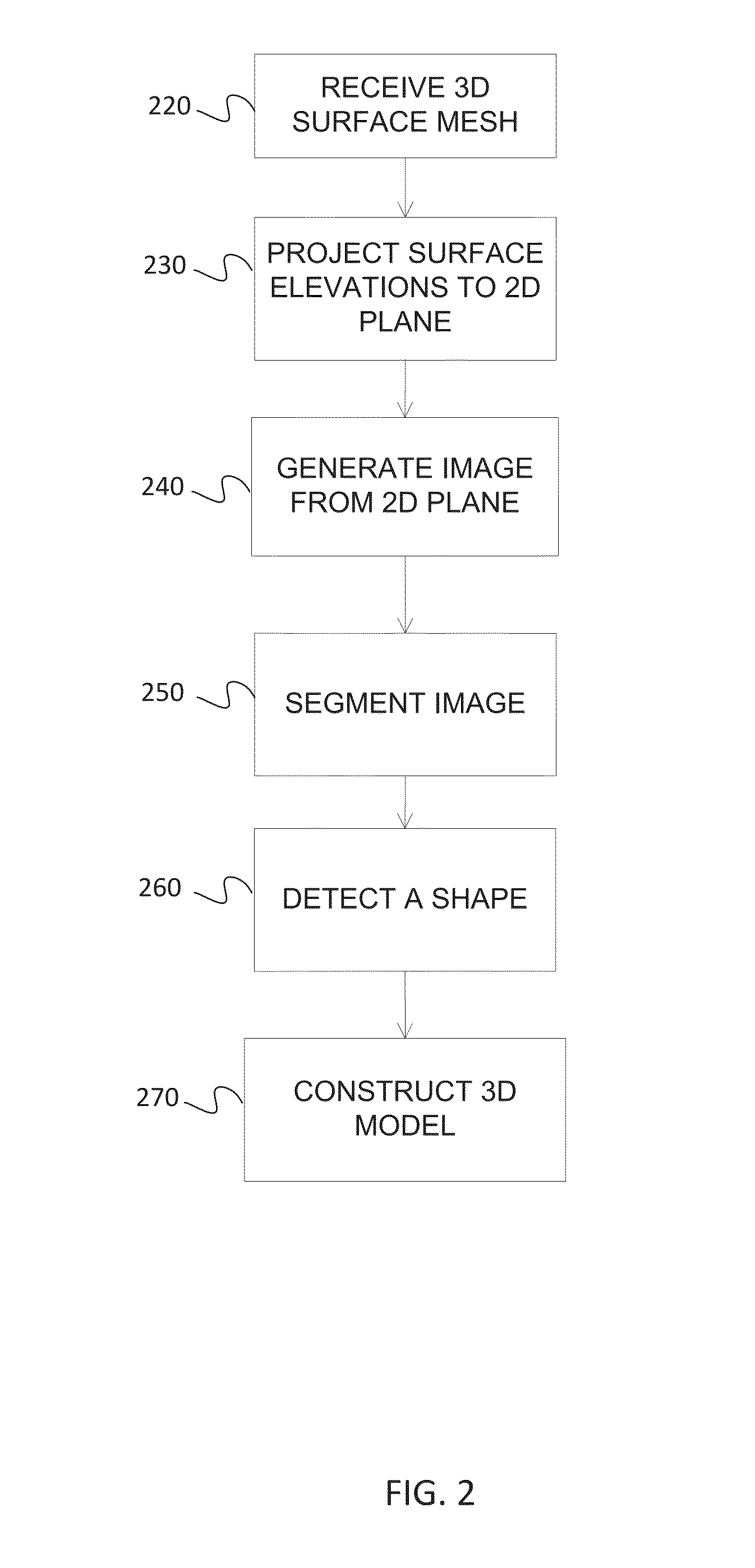
The patent describes an apparatus that can receive a 3D surface representation of a geographic area with elevation values associated with points on the surface. It can then project the elevation values into a 2D plane and generate an image based on the elevation values. By segmenting the image and detecting the shape of the geogenerative footprint of a structure in the geographic area, the apparatus can create a 3D model of the structure by assigning heights to the shape based on the elevation values. The technical effect of this patent is a more efficient and accurate method of creating a 3D model of a structure in a geographic area based on its elevation values.

Problems solved by technology

Manually creating 3D models for each structure in a metropolitan geographic area may be very labor intensive.
Automatically constructing the 3D models of structures, as opposed to manually constructing 3D models, significantly reduces the resources required to create collections of 3D models required to accurately describe geographic areas, particularly metropolitan areas where the density of structures may be very significant.
Additionally, the illustrations are merely representational and may not be drawn to scale.

Method used


Image

  • Structure Model Creation from a Three Dimensional Surface
  • Structure Model Creation from a Three Dimensional Surface
  • Structure Model Creation from a Three Dimensional Surface

Examples


Embodiment Construction

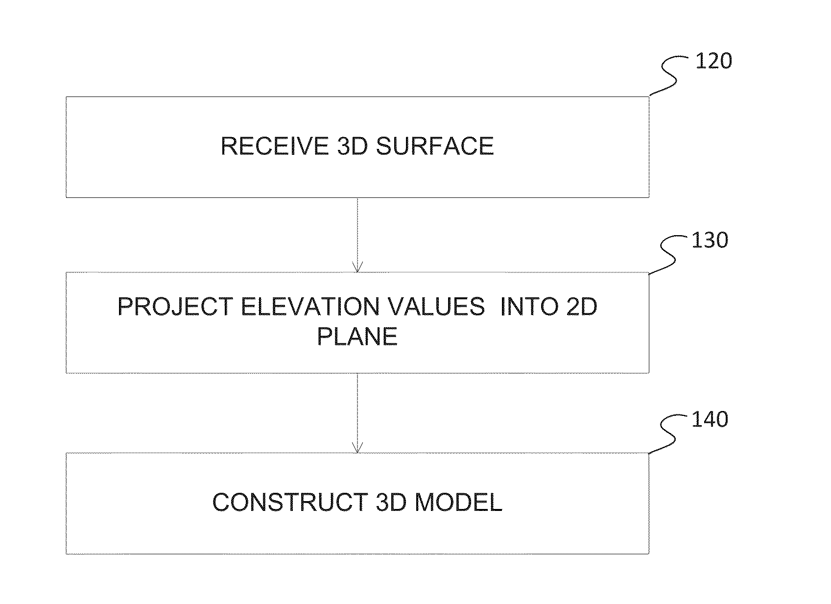
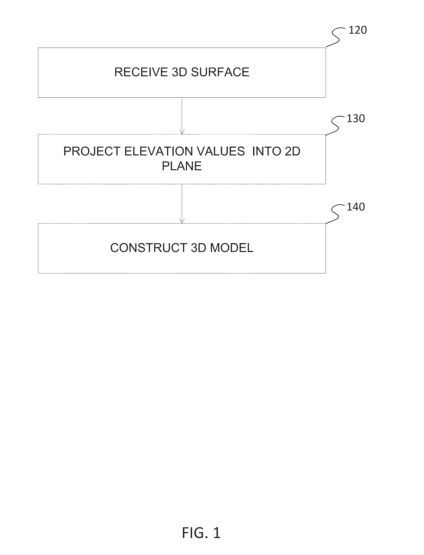
[0016]Data acquisition techniques, such as Light Detection and Ranging (LIDAR) or photogrammetry methods, may be used to develop a three dimensional (3D) surface representing an entire geographic area, however, the data may involve one continuous surface that does not delineate the structures that exist in the geographic area from the rest of the 3D surface. Structures may be delineated from the rest of a 3D surface representing a geographic area using various techniques. In an embodiment, elevation data of a 3D surface representing a geographic area are projected into a two dimensional (2D) plane. The 2D plane may be processed to segment shapes corresponding to the structures in the geographic area. These shapes may then be assigned a height according to the elevation data for the shapes from the 2D plane to define 3D points for the structure. A 3D model of a structure may be constructed by connecting the defined 3D points for the structure with edges, faces or surfaces of a 3D mod...


PUM


Abstract

Constructing a three dimensional (3D) model of a structure may involve receiving a 3D surface representing a geographic area, the surface having elevation values associated with points of the surface and the geographic area comprises a structure having a geographic footprint smaller than the geographic area. Constructing a 3D model may also involve projecting the elevation values into a two dimensional (2D) plane. Further, a 3D model may be constructed of the structure by assigning model heights based on the elevation values projected into points of the 2D plane.

Description

BACKGROUND[0001]The following disclosure generally relates to structure model creation and, more particularly, to structure model creation from a three dimensional surface mesh representing a geographic area.[0002]Geographic mapping and modeling systems may include three dimensional (3D) models of structures in a geographic area to provide an augmented experience for a user. Some geographic areas, such as metropolitan areas, may involve numerous structures over a large geographic area. Manually creating 3D models for each structure in a metropolitan geographic area may be very labor intensive.SUMMARY[0003]In an embodiment, a non-transitory computer readable medium includes instructions that when executed on a computer are operable to receive a three dimensional (3D) surface representing a geographic area. The surface has elevation values associated with points of the surface, and the geographic area comprises a structure having a geographic footprint smaller than the geographic area...

Claims


Application Information

Patent Timeline
IPC IPC(8): G06T17/05G06K9/00G06K9/34G06T17/10
CPCG06T17/05G06K9/34G06K9/00637G06T17/10G06T17/20G06T7/10G06V20/176
Inventor CHEN, XINMA, XIANGDOU, HANG
Owner HERE GLOBAL BV
Learn More