

Method for rendering terrain
a technology of terrain and method, applied in the field of method for rendering terrain, can solve the problems of large storage space and complicated calculation
- Summary
- Abstract
- Description
- Claims
- Application Information
AI Technical Summary
Benefits of technology
Problems solved by technology
Method used
Image

Examples
Embodiment Construction
[0034]Hereinafter, a method and an apparatus for rendering a terrain according to embodiments of the present invention will be described with reference to the drawings.
[0035]Singular expressions used in the present specification include plural expressions unless they have definitely opposite meanings in the context. In the present specification, a term such as “comprising” or “including” should not be interpreted as necessarily including all various components or various steps disclosed in the specification, and it should be interpreted that some component or some steps among them may not be included or additional components or steps may be further included.
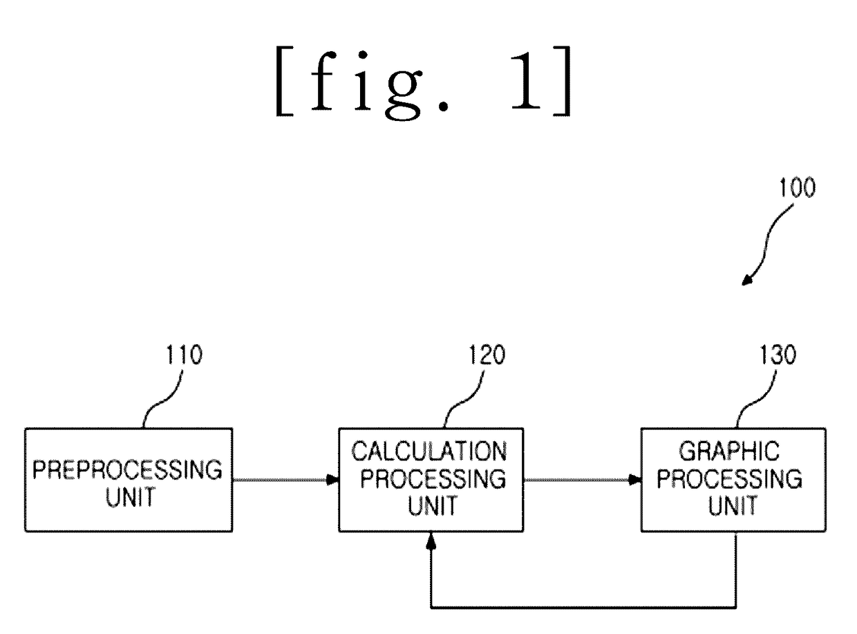
[0036]FIG. 1 is a block diagram of an apparatus for rendering a terrain according to an embodiment of the present invention.
[0037]As illustrated in FIG. 1, the terrain rendering apparatus 100 may include a preprocessing unit 110, a calculation processing unit 120, and a graphic processing unit 130.
[0038]The preprocessor 110 may p...
PUM
 Abstract
Description
Claims
Application Information