Technique to measure the distance between stations using dgps/rtk GPS in the velocity area method (stationary) with an acoustic doppler current profiler

a technology of acoustic doppler current profiler and velocity area method, which is applied in the direction of instruments, using reradiation, process and machine control, etc., can solve the problems of inaccuracy in adcp data collection, site selection limit, and site needing a walkway/bridge, etc., and achieves the effect of more accurate data measurement and greater accuracy

Active Publication Date: 2018-06-07
YSI INC
View PDF3 Cites 3 Cited by
  • Summary
  • Abstract
  • Description
  • Claims
  • Application Information

AI Technical Summary

Benefits of technology

[0032]One advantage of the present invention is that it addresses the aforementioned limitations in the prior art techniques by adopting another way to measure distance between stations, e.g., where a tape measure or an incremental tagline is not needed.
[0033]Another advantage of the present invention is that it enables a more accurate data measurement, e.g., for high CFM river flow, as well as for low CFM river flow.
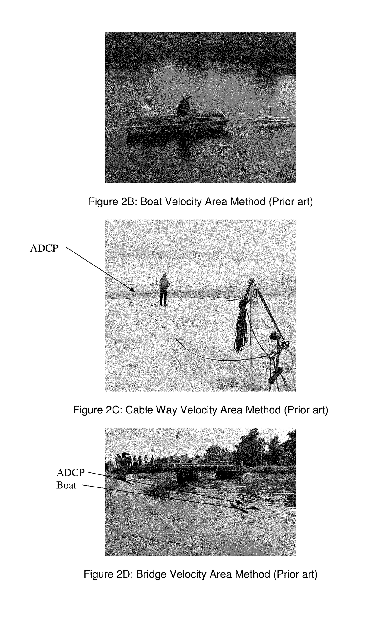
[0034]Another advantage of the present invention is that it provides a more expedient stationary measurement technique, e.g., particularly in cases where a prior art tagline (see FIG. 2C) may not be laid down. In effect, the present invention eliminates the need for laying down a stationary tagline, and allows the use of a virtual tagline instead. The present invention also allows for river discharge measurements at sites that were previously not capable of being measured in a practical sense using the stationary prior art technique.
[0035]Another advantage of the present invention is that it can be used instead of the prior art moving boat measurement technique, which has been used for higher level applications where greater accuracy may be required or desired. In effect, the present invention allows an engineer to use of a stationary measurement technique according to the present invention, which has comparable accuracy to the prior art moving boat technique.

Problems solved by technology

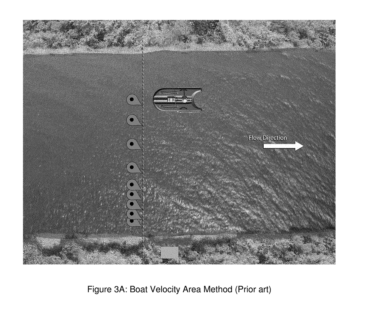
This approach has a few drawbacks such as, the limitation of site selection (e.g., the site needs a walkway / bridge) and inaccuracy in the ADCP data collection because of boat movement.
The method and complexity in measuring the station or vertical position differs considerably between the platforms.
The more complex the measurements of the station or vertical position the higher the uncertainty of the accuracy of the measurement.

Method used


Image

  • Technique to measure the distance between stations using dgps/rtk GPS in the velocity area method (stationary) with an acoustic doppler current profiler
  • Technique to measure the distance between stations using dgps/rtk GPS in the velocity area method (stationary) with an acoustic doppler current profiler
  • Technique to measure the distance between stations using dgps/rtk GPS in the velocity area method (stationary) with an acoustic doppler current profiler

Examples


Embodiment Construction

FIGS. 4 and 5

[0050]In summary, the present invention provides the ability to measure distance between stations (aka herein as “panels”) using DGPS / RTK GPS in stationary software routines that resolves the above mentioned limitations. With the help of this GPS functionality, a user does not need a tape measure to make an ADCP stationary measurement and will collect accurate location of each station. According to the present invention, the user provides a projection line, e.g., using 2 GPS locations at the measurement site, to project each station locations to that line (which is known herein as a virtual tag line), e.g., based upon implementing the algorithm having the equations described in relation to FIG. 4 and the steps in the flowchart shown in FIG. 5 below.

The Algorithm Having Equations / Steps to Calculate Distance Between Stations Using GPS

[0051]By way of example, a controller like element 20b (FIG. 6A) having a signal processor like element 20b′ (FIG. 6A) may be configured to ...


PUM


Abstract

A system for determining a measurement of a discharge of a streamflow in open channel conditions using a velocity-area technique featuring a signal processor configured to receive ADCP measurement signaling containing information about ADCP measurements taken in conjunction with the streamflow, GPS signaling containing information about GPS readings in conjunction with ADCP measurements, and signaling containing information about a projection or virtual tag line using two (2) Global Position System (GPS) locations having start and end latitudes and longitudes at a measurement site in a hydrographic operation for a measurement of a discharge in open channel conditions, and an instantaneous GPS position for a station; and determine control signaling containing information to take the ADCP measurements and the GPS readings in conjunction with the ADCP measurements, as well as corresponding signaling containing information about the measurement of the discharge of the streamflow, based upon a respective distance between each station in relation to the projection or virtual tag line, as well as ADCP signaling and the GPS signaling received, using Differential Global Position System (DGPS) or Real Time Kinematic GPS (RTK GPS).

Description

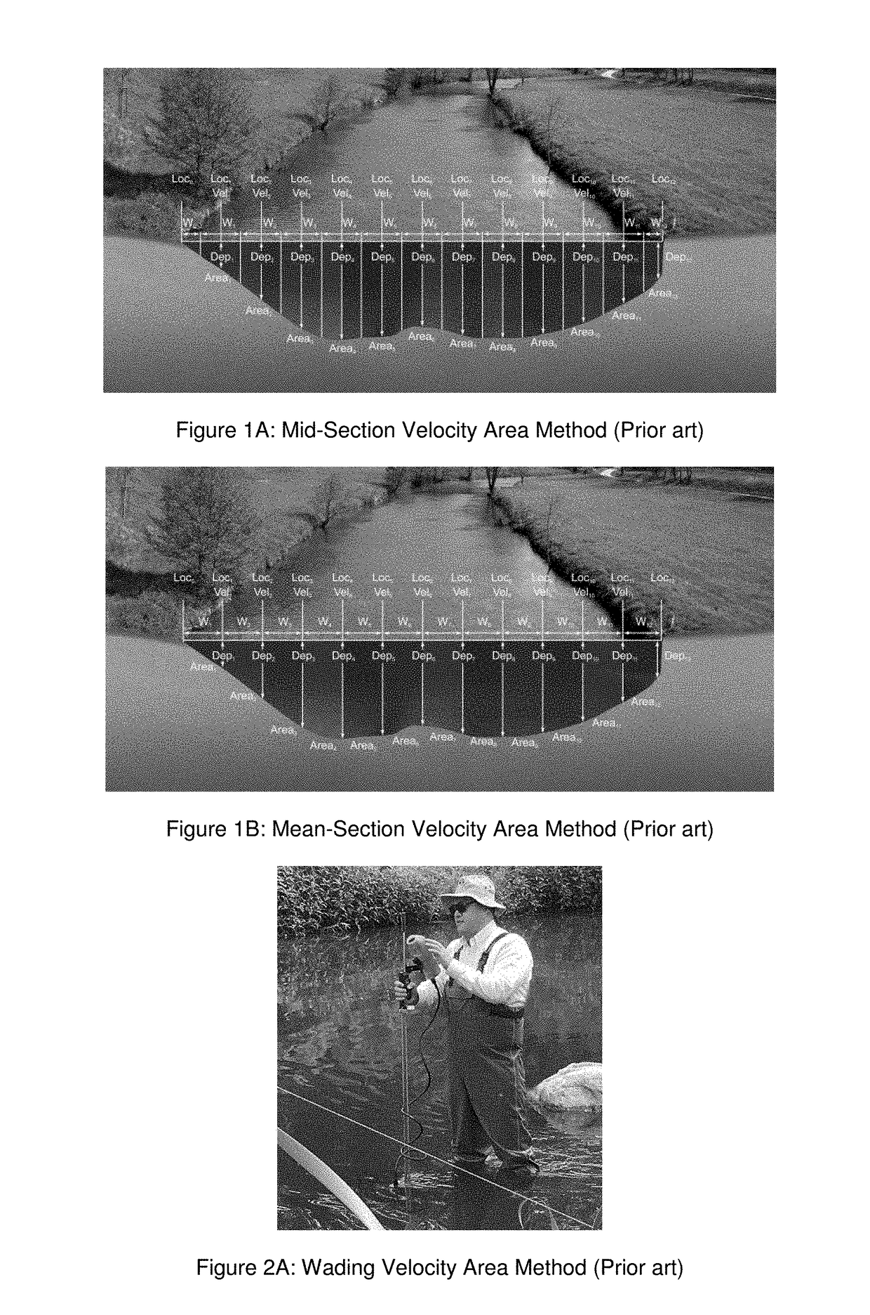
CROSS-REFERENCE TO RELATED APPLICATIONS[0001]This application claims benefit to provisional patent application Ser. No. 62 / 413,503 (911-023.5-1 / N-YSI-0035US), filed 27 Oct. 2016, which is incorporated by reference in its entirety.BACKGROUND OF THE INVENTION1. Field of Invention[0002]This invention relates to a system for measuring the discharge of a river or stream; and more particularly relates to a system for measuring distance between stations in a velocity area method that is used to measure the discharge of a river or streamflow.2. Description of Related Art[0003]The Velocity Area Method is used in hydrographic operations for the measurement of discharge in open channel conditions. The application of the Velocity Area method is suitable for a wide range of instruments such a mechanical current meters, electromagnetic instruments, Acoustic Doppler Velocimeters (ADV) and Acoustic Doppler Current Meters (ADCP). There are two recognized calculation methods for calculating discharge...

Claims


Application Information

Patent Timeline
Patent Type & Authority Applications(United States)
IPC IPC(8): G01F1/00G01F1/66G01S19/13
CPCG01F1/002G01F1/663G01S19/13G01C13/00G01S15/50G01S15/88Y02A90/30G01C13/006G01D1/00G05D1/00G05D1/02H04W88/00
Inventor RADHAKRISHNAN, MUTHIAHMILANOV, MARTINWAGENAAR, DANIEL J.JONES, ISSAC
Owner YSI INC
Why Eureka
Try Eureka