Sharing geographical information between users
- Summary
- Abstract
- Description
- Claims
- Application Information
AI Technical Summary
Benefits of technology
Problems solved by technology
Method used
Image
Examples
Embodiment Construction
[0026]The particular values and configurations discussed in these non-limiting examples can be varied and are cited merely to illustrate embodiments and are not intended to limit the scope of the invention.
Overview
[0027]Users can collaborate to annotate a map by sharing geographical information. Map data can be stored locally or remotely while annotations are stored in an annotation server. A presentation device such as a personal computer can use the map data to display a map and can access the annotations held on the annotation server and display them. Different users can edit the annotations and save them on the annotation server. The annotations presented to users who are simultaneously viewing them can be synchronized such that each user sees the same annotation. Presentation devices can download modules for sharing geographical information from servers such as web servers.
Architectural Overview
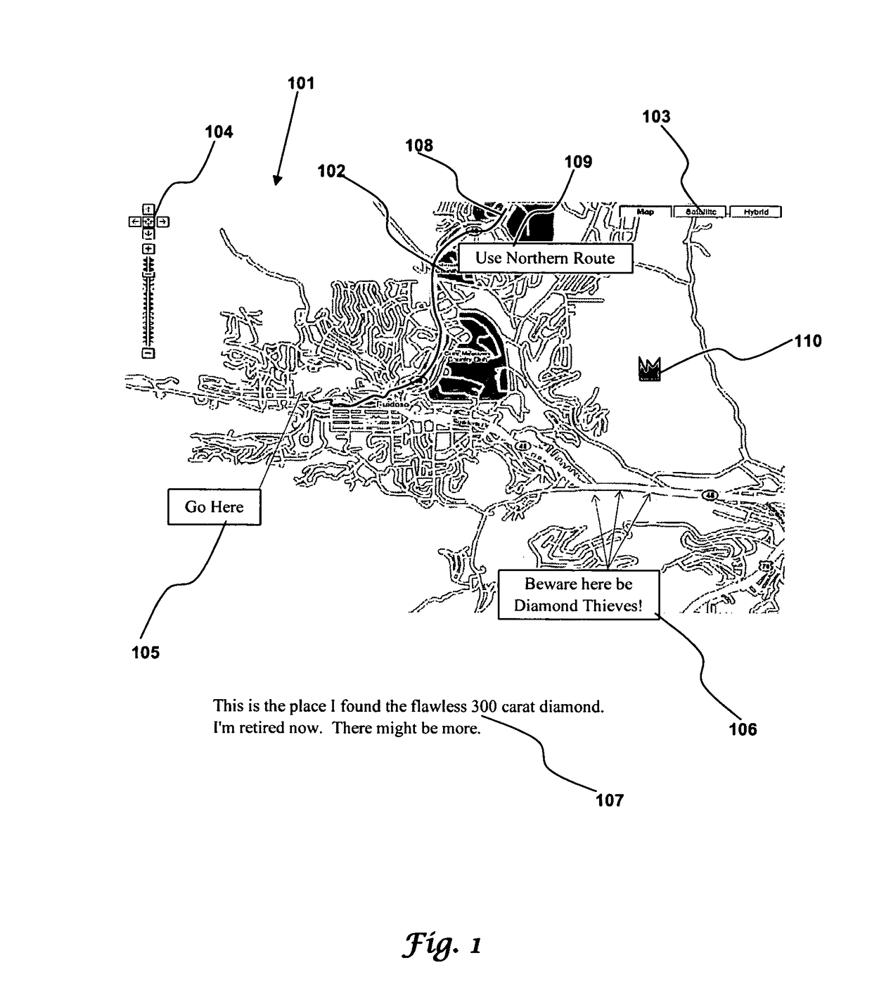
[0028]FIG. 1 illustrates an annotated map in accordance with aspects of the embodime...
PUM
 Abstract
Description
Claims
Application Information
 - R&D
- Intellectual Property
- Life Sciences
- Materials
- Tech Scout
- Unparalleled Data Quality
- Higher Quality Content
- 60% Fewer Hallucinations
Browse by: Latest US Patents, China's latest patents, Technical Efficacy Thesaurus, Application Domain, Technology Topic, Popular Technical Reports.
© 2025 PatSnap. All rights reserved.Legal|Privacy policy|Modern Slavery Act Transparency Statement|Sitemap|About US| Contact US: help@patsnap.com


