
Light detection and ranging (LiDAR)data compression and decompression methods and apparatus

a technology of light detection and ranging, applied in the field of compression and decompression of lidar data, can solve the problems of inefficiency of entropy encoding algorithms when compressing geometrical data, high cost of las files storage, and inability to store them

Active Publication Date: 2016-03-29
UNIV OF MARIBOR LAB FOR GEOMETRIC MODELLING & MULTIMEDIA ALGORITHMS
View PDF19 Cites 64 Cited by
  • Summary
  • Abstract
  • Description
  • Claims
  • Application Information

AI Technical Summary

Problems solved by technology

Storage of LAS files may therefore be expensive and file exchange over local networks and the Internet may become impractical.
Still, the entropy encoding algorithms are not efficient when compressing geometrical data.
Still, due to a need for the topology, these methods cannot be directly applied to LiDAR datasets.

Method used


Image

  • Light detection and ranging (LiDAR)data compression and decompression methods and apparatus
  • Light detection and ranging (LiDAR)data compression and decompression methods and apparatus
  • Light detection and ranging (LiDAR)data compression and decompression methods and apparatus

Examples


Embodiment Construction

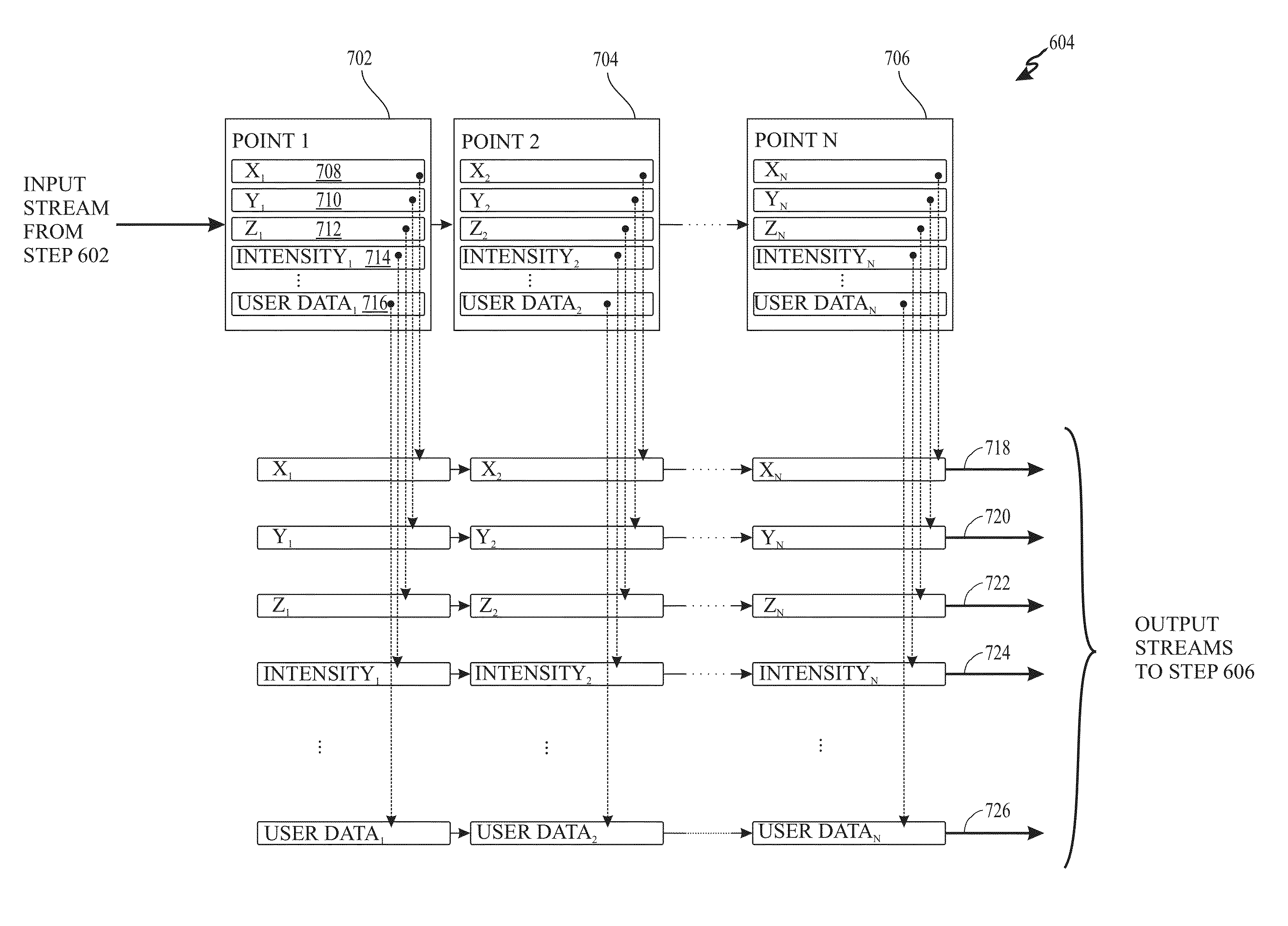
[0032]The present invention provides methods and apparatus for compressing three dimensional (3D) datasets (e.g., LAS data files) using domain-specific information about the 3D data scanning. In accordance with the present invention, single-rate, lossless compression of 3D point clouds and related scalar values is achieved. The data points in the 3D datasets each include x,y,z coordinate values and the related scalar values. The correlation between the data points is exploited using a predictive coding method. The data points are encoded based on the difference between their value and their predicted value. Thus, only the differences in the two values are needed to recover the data points. The substantial amount of data that can be accurately predicted need not be stored and thus, the resulting encoded representation of the 3D dataset can be significantly smaller than the original dataset.

[0033]In the prediction model according to embodiments of the present invention, three rules (e...


PUM


Abstract

Methods and apparatus for lossless LiDAR LAS file compression and decompression are provided that include predictive coding, variable-length coding, and arithmetic coding. The predictive coding uses four different predictors including three predictors for x, y, and z coordinates and a constant predictor for scalar values, associated with each LiDAR data point.

Description

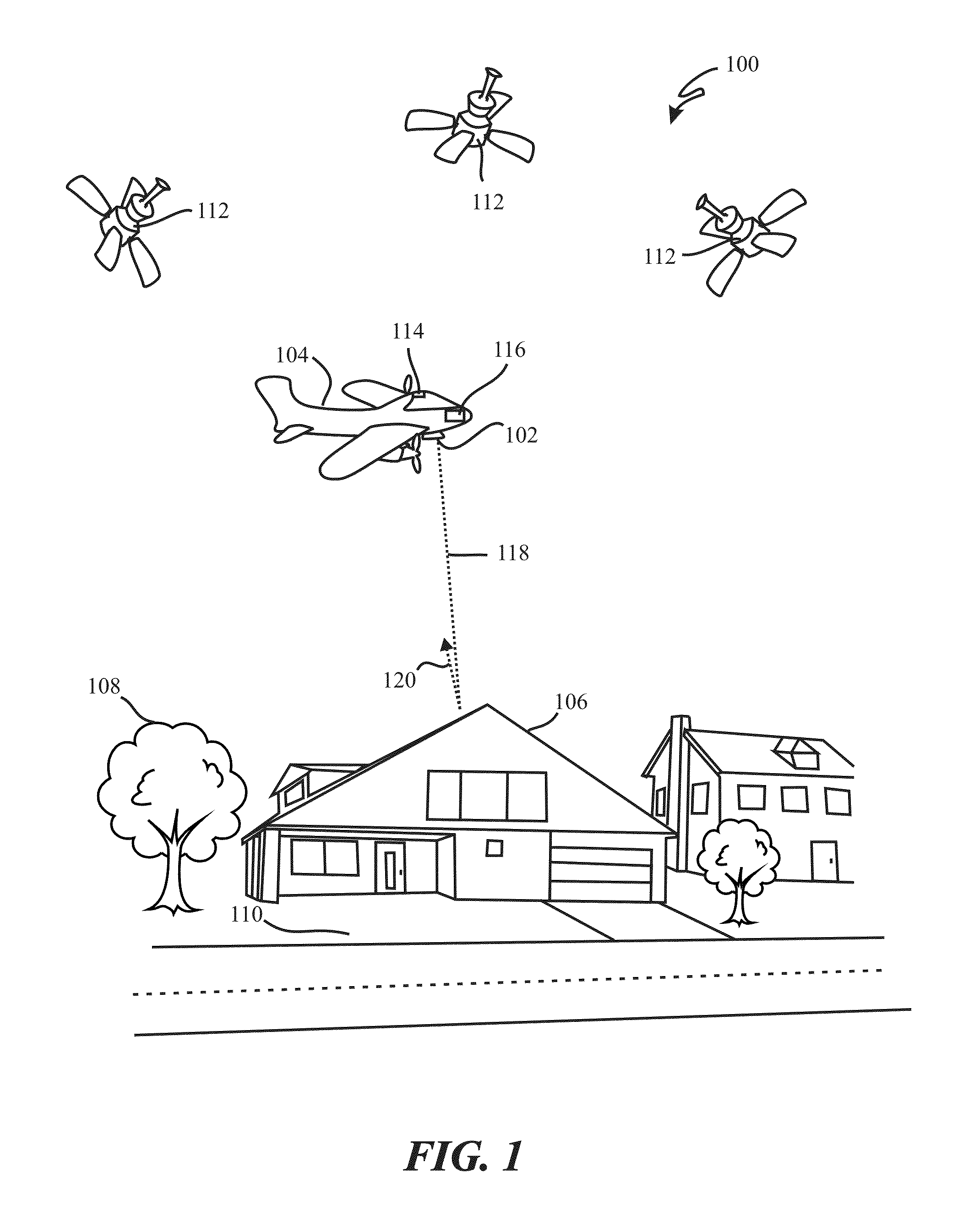
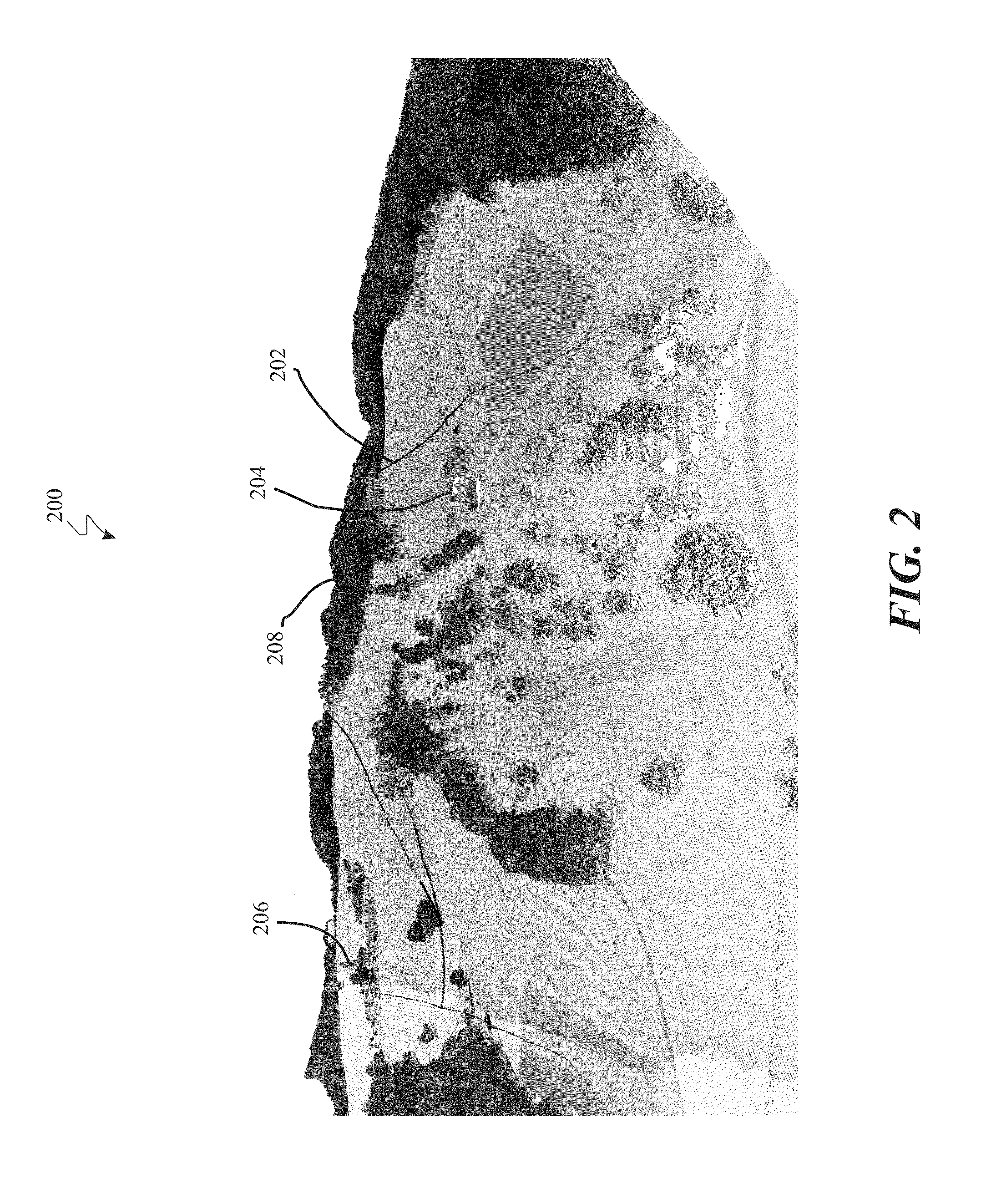
CROSS-REFERENCE TO RELATED APPLICATIONS[0001]The present invention is related to and claims priority from U.S. Provisional Patent No. 61 / 410,522, entitled “A METHOD AND APPARATUS FOR LiDAR DATA COMPRESSION AND DECOMPRESSION,” which was filed Nov. 5, 2010, and which is hereby incorporated herein for all purposes.FIELD OF THE INVENTION[0002]The present invention relates to processing of Light Detection and Ranging (LiDAR) data and more specifically, to compression and decompression of LiDAR data.BACKGROUND OF THE INVENTION[0003]LiDAR (Light Detection And Ranging, also referred to as “LADAR”) is an optical remote sensing technology used to measure the distance to, or other properties of, a target by illuminating the target with light, often using pulses from a laser. LiDAR technology has application in geomatics, archaeology, geography, geology, geomorphology, seismology, forestry, remote sensing and atmospheric physics, as well as in airborne laser swath mapping (ALSM), laser altimetr...

Claims


Application Information

Patent Timeline
Patent Type & Authority Patents(United States)
IPC IPC(8): G06F17/50H03M7/40G06T9/00G06K9/00H03M7/30
CPCH03M7/40G06K9/00G06T9/00H03M7/3075H03M7/6011G06F18/00
Inventor ZALIK, BORUTMONGUS, DOMEN
Owner UNIV OF MARIBOR LAB FOR GEOMETRIC MODELLING & MULTIMEDIA ALGORITHMS
Learn More