Spatial configuration method for land evaluation sampling points
A configuration method and sampling point technology, applied in data processing applications, instruments, calculations, etc., can solve the problems of uneven spatial distribution of samples, anisotropy of evaluation unit influence, etc.
- Summary
- Abstract
- Description
- Claims
- Application Information
AI Technical Summary
Problems solved by technology
Method used
Image
Examples
Embodiment Construction
[0060] The method of the present invention will be further described below in conjunction with the accompanying drawings and specific embodiments.
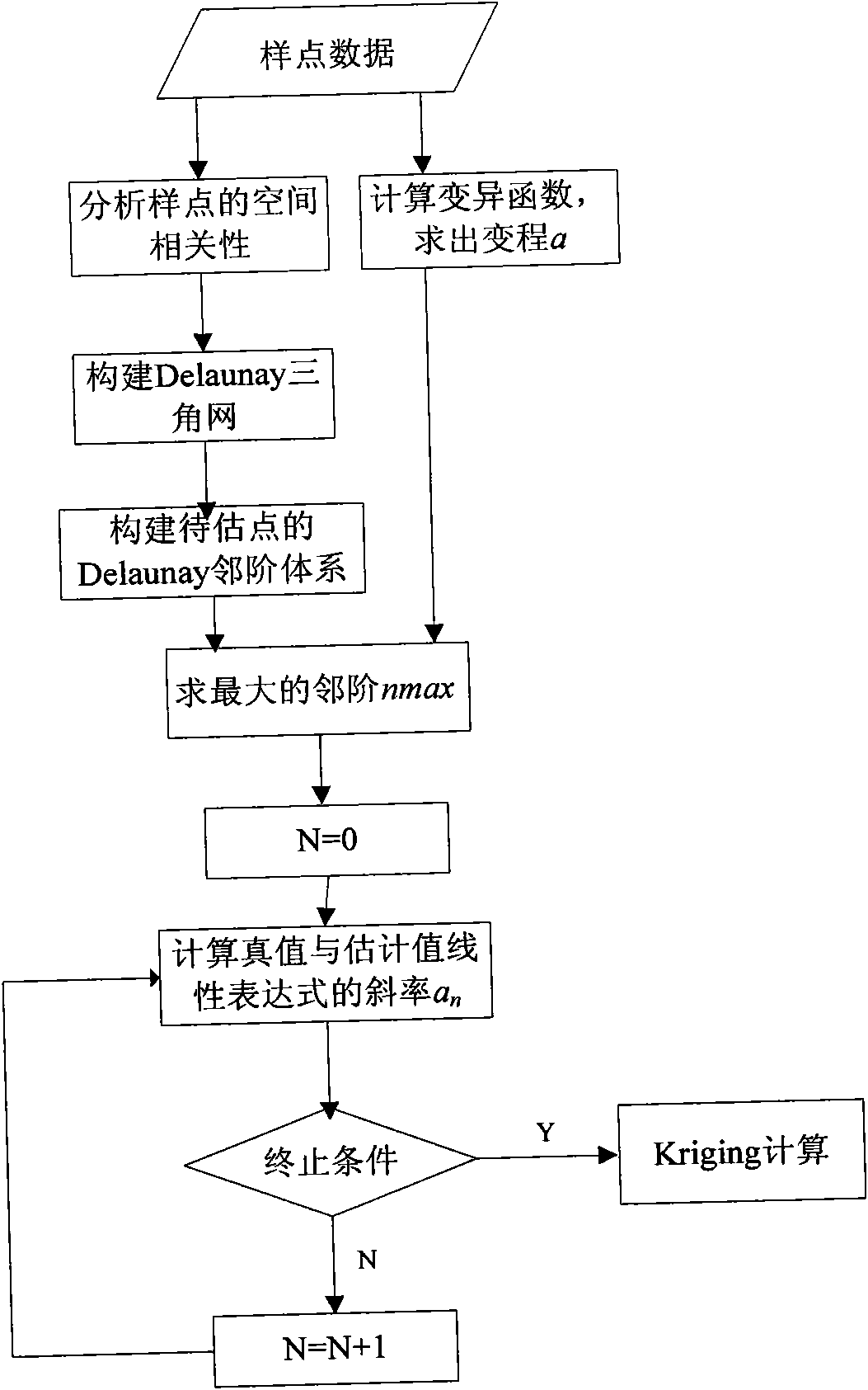
[0061] The method of the invention includes the identification of the outlier value of the land evaluation sample, the variation function simulation of the sample space interpolation and unbiased estimation, and the division of the Kriging estimation neighborhood based on the Delaunay triangulation.
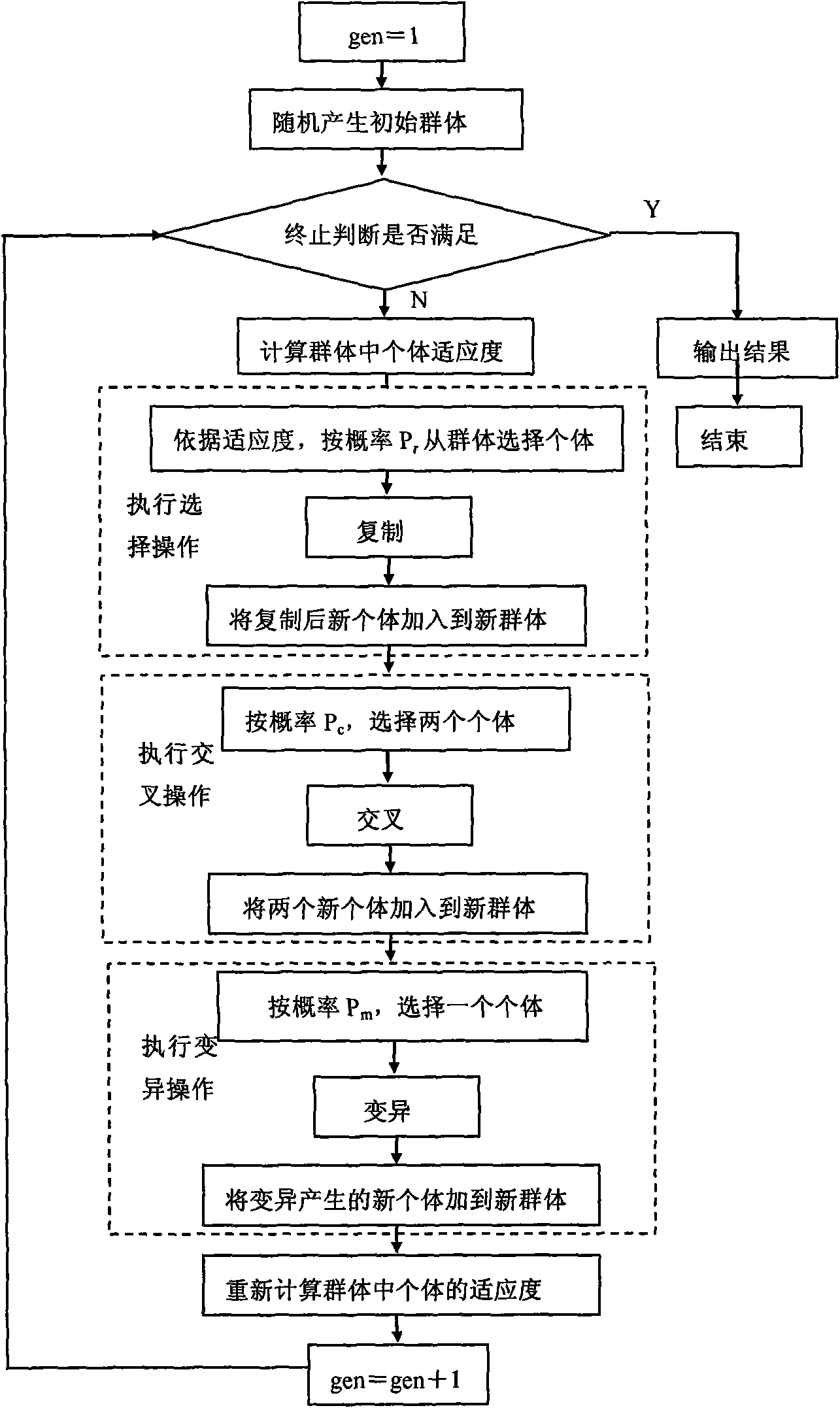
[0062] Among them, the outlier value of the land evaluation sample is identified as figure 1 shown, including the following steps:
[0063] 1) The difference between spatial data is used as the basic criterion to identify the outliers in the sample set, and the corresponding adaptive function is constructed as
[0064] F ( z ) = Σ i = 1 M z ...
PUM
 Abstract
Description
Claims
Application Information
 - R&D
- Intellectual Property
- Life Sciences
- Materials
- Tech Scout
- Unparalleled Data Quality
- Higher Quality Content
- 60% Fewer Hallucinations
Browse by: Latest US Patents, China's latest patents, Technical Efficacy Thesaurus, Application Domain, Technology Topic, Popular Technical Reports.
© 2025 PatSnap. All rights reserved.Legal|Privacy policy|Modern Slavery Act Transparency Statement|Sitemap|About US| Contact US: help@patsnap.com


