Method and device for acquiring three-dimensional paleotopographic map
A topographic map, three-dimensional technology, applied in the field of obtaining three-dimensional ancient topographic maps, can solve the problems of poor operability of three-dimensional ancient topographic maps, and achieve the effect of strong operability
- Summary
- Abstract
- Description
- Claims
- Application Information
AI Technical Summary
Problems solved by technology
Method used
Image
Examples
Embodiment Construction
[0067] In order to make the above objects, features and advantages of the present invention more comprehensible, the present invention will be further described in detail below in conjunction with the accompanying drawings and specific embodiments.
[0068] In order to enable those skilled in the art to have a more detailed understanding of the application scenarios and principles of the embodiments of the present invention, before introducing the embodiments of the present invention, the basic principles of the present invention are firstly introduced.
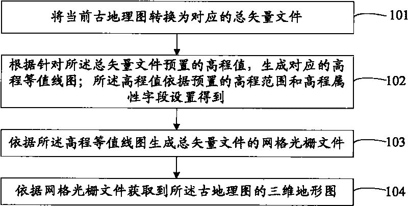
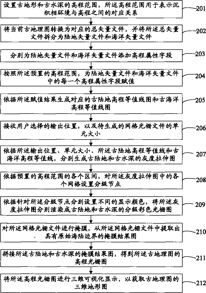
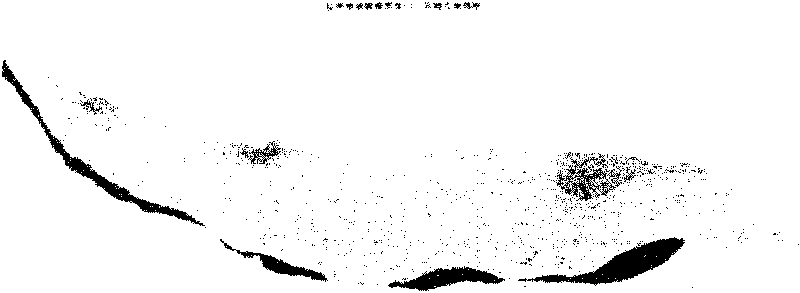
[0069] The present invention mainly utilizes the subsequently generated digital paleo-elevation model to express the topography of the paleogeographic map, and the digital paleo-elevation model is a grid raster file generated by interpolating the sedimentary facies boundaries of the lithofacies paleogeographic map as contour lines . Therefore, the present invention is mainly to generate a corresponding three-dimensional paleo...
PUM
 Abstract
Description
Claims
Application Information
 - R&D
- Intellectual Property
- Life Sciences
- Materials
- Tech Scout
- Unparalleled Data Quality
- Higher Quality Content
- 60% Fewer Hallucinations
Browse by: Latest US Patents, China's latest patents, Technical Efficacy Thesaurus, Application Domain, Technology Topic, Popular Technical Reports.
© 2025 PatSnap. All rights reserved.Legal|Privacy policy|Modern Slavery Act Transparency Statement|Sitemap|About US| Contact US: help@patsnap.com


