Road base map information processing method applicable to rapid traffic accident disposing
An information processing method and traffic accident technology, applied in the field of road base map information processing, can solve the problems of difficulty in judging the party responsible for the accident, incomplete coverage, and large randomness of the road base map
- Summary
- Abstract
- Description
- Claims
- Application Information
AI Technical Summary
Problems solved by technology
Method used
Image
Examples
Embodiment 1
[0200] A road base map information processing method suitable for rapid traffic accident processing, comprising the following steps:
[0201] 1) collect the basic road coordinate information through the total station, and send it to the computer;
[0202] 2) The computer generates the basic road base map symbol information according to the road base map generation method, and performs connection drawing to generate the road base map.
[0203] The method for generating the road base map is specifically as follows:
[0204] 1) Establish a road base map symbol information database;
[0205] 2) Set the corresponding attribute value for each base map symbol in the road base map symbol information database, and store the attribute value information;
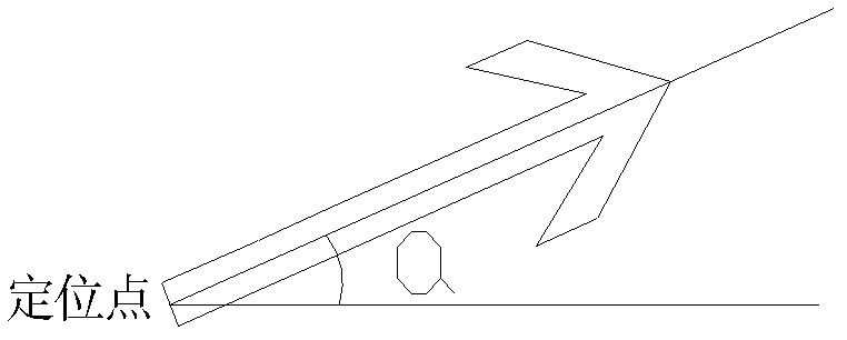
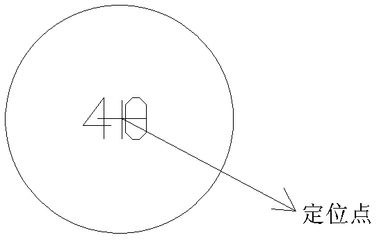
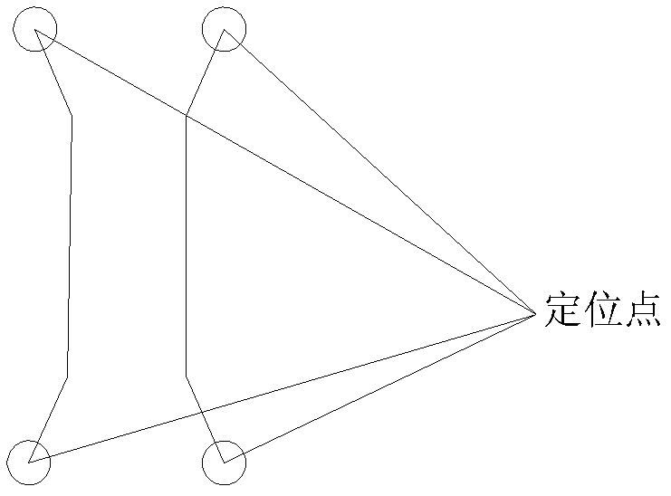
[0206] 3) Set the positioning method for each road base map symbol;
[0207] 4) Determining the exchange data for each road base map symbol, the exchange data includes the code of the symbol, the location information of the symbol a...
example 2
[0227] Take the intersection of Siping Road and Zhangwu Road in Shanghai as an example. The intersection is small, and the observation elements include street lights, signal lights, trash cans, markings, etc. The observation data are as follows:
[0228]
[0229]
[0230] Plotting results like Figure 10 shown
example 3
[0232] Take the intersection of Beijiang Road and Bridge on Zhenjiang Road in Shaoguan City, Guangdong Province as an example. Since there are no traffic lights installed at this intersection and there are many vehicles passing through it, it is a traffic accident-prone area. A total of 275 field measurement points at the intersection were collected, mainly including: road sidelines, lane lines, pedestrian crossings, isolation belts, diversion belts, etc. The observation data are as follows:
[0233]
[0234] Plotting results like Figure 11 shown.
PUM
 Abstract
Description
Claims
Application Information
 - R&D
- Intellectual Property
- Life Sciences
- Materials
- Tech Scout
- Unparalleled Data Quality
- Higher Quality Content
- 60% Fewer Hallucinations
Browse by: Latest US Patents, China's latest patents, Technical Efficacy Thesaurus, Application Domain, Technology Topic, Popular Technical Reports.
© 2025 PatSnap. All rights reserved.Legal|Privacy policy|Modern Slavery Act Transparency Statement|Sitemap|About US| Contact US: help@patsnap.com


