

Method for creating finite element three-dimensional entity based on terrain remote sensing data
A technology for remote sensing data and three-dimensional entities, which is applied in image data processing, electrical digital data processing, special data processing applications, etc., and can solve problems such as distortion and deviation of numerical simulation results.
- Summary
- Abstract
- Description
- Claims
- Application Information
AI Technical Summary
Problems solved by technology
Method used
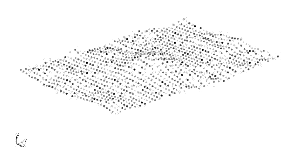
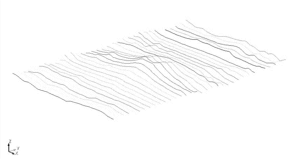
Image

Examples
Embodiment
[0023] Operating environment: Linux
[0024] Software support: FWTools, GMT, Cubit
[0025] Scripts: convert.pl, block_DEM.py
[0026] Data source: from http: / / srtm.csi.cgiar.org Download the terrain remote sensing data package srtm_12_03.zip and decompress it. The range of latitude and longitude is Latitude min: 45 N max: 50 N, Longitude min: 125 W max: 120 W.
[0027] 1. Use the FWTools-2.0.6 software package to extract vector data from the terrain remote sensing data package, that is, to extract the text format vector data from the remote sensing image Geotiff format, and the obtained data file contains latitude, longitude and elevation information.
[0028] Specific operation: run in the linux terminal
[0029] FWTools-2.0.6 / bin_safe / gdal2xyz.py srtm_12_03.img > srtm_12_03.xyz
[0030] Suppose the research area is Latitude min: 46.1 N max: 46.3 N Longitude min: 122.1 W max: 122.3. You need to use the GTM software package to extract from Latitude min: 45 N max: 50 N Lo...
PUM
 Abstract
Description
Claims
Application Information