Method for filtering out detected surface in live-action map on basis of normal vector
A technology of real map and filtering method, which is applied in the field of surveying and mapping information, to achieve the effect of improving browsing experience, improving accuracy and significant benefits
- Summary
- Abstract
- Description
- Claims
- Application Information
AI Technical Summary
Problems solved by technology
Method used
Image
Examples
Embodiment 1
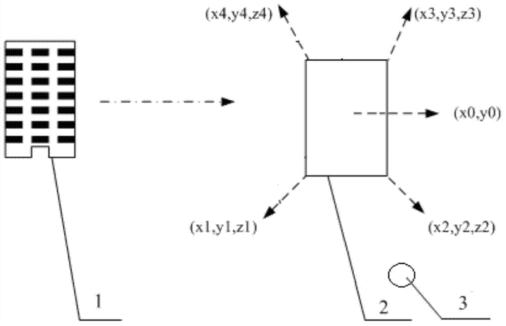
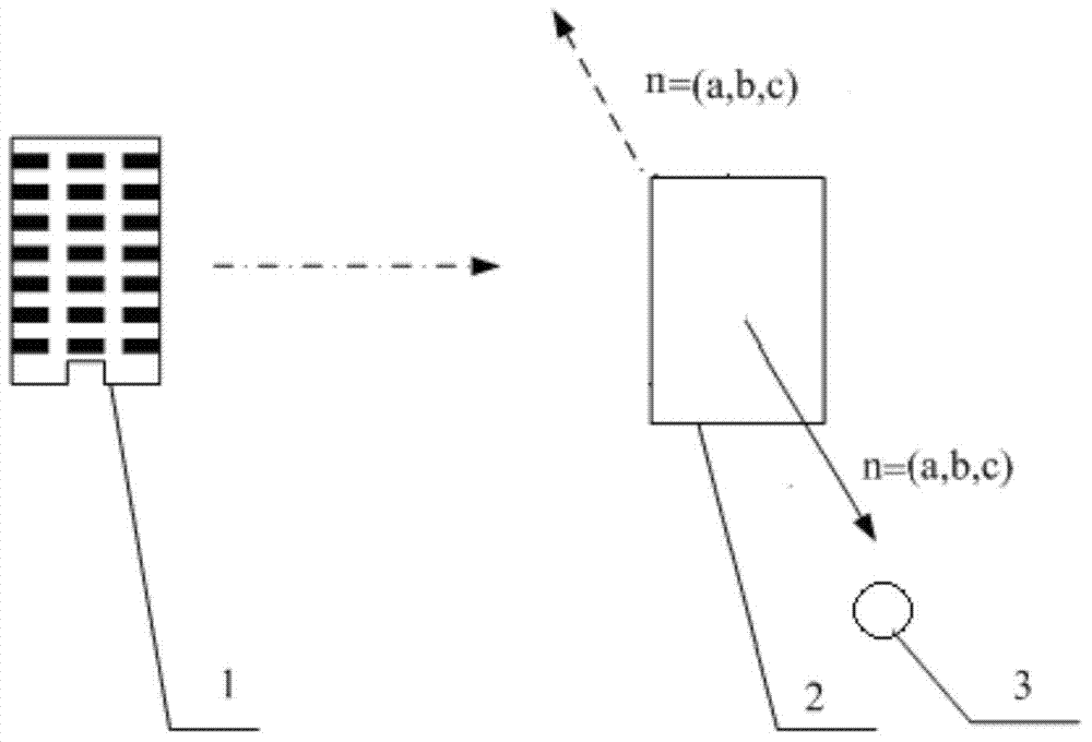
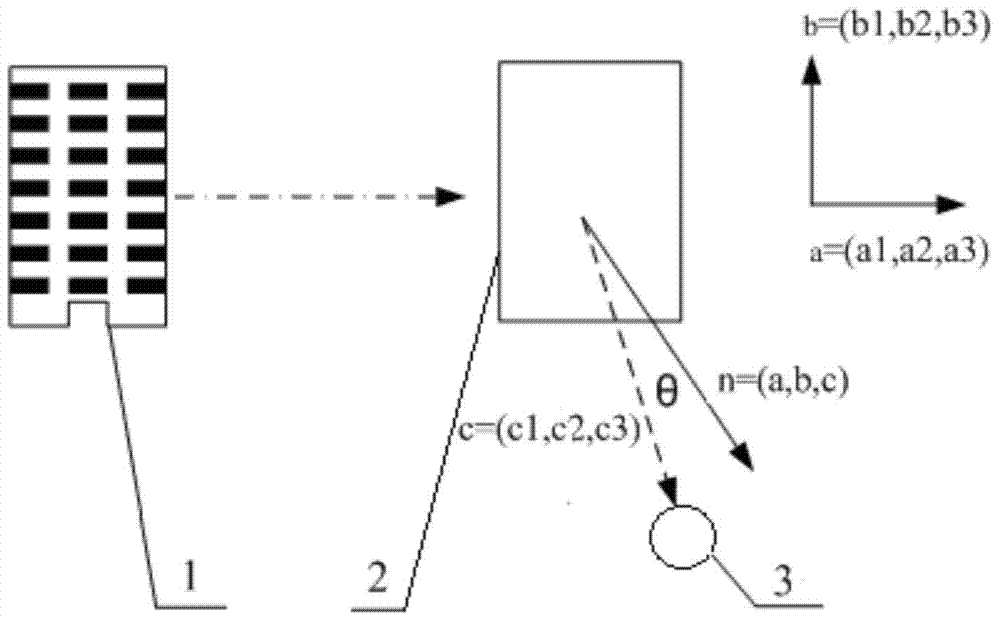
[0028] Embodiment 1: A method for filtering detected surfaces based on normal vectors in real-scene maps provided by the present invention is mainly to assign the attributes of normal vectors to the three-dimensional building facade data, and the entire flow of the method for filtering detected surfaces based on normal vectors Such as Figure 5 shown. The specific implementation steps of this process are as follows:
[0029] First, based on the three-dimensional laser point cloud data, the building facade data is obtained semi-automatically; that is, the outer contour line of the building is obtained; the ground plane, that is, the XY plane is selected as the projection surface, and the projection of the outer contour line on the XY plane is a multi-line segment P1P2... ...Pn, and the coordinates of nodes P1, P2...Pn on the XY plane are (X1, Y1), (X2, Y2)...(Xn, Yn), and the distance from the multi-line segment P1P2...Pn on the XY plane is selected. The area within the range...
PUM
 Abstract
Description
Claims
Application Information
 - R&D
- Intellectual Property
- Life Sciences
- Materials
- Tech Scout
- Unparalleled Data Quality
- Higher Quality Content
- 60% Fewer Hallucinations
Browse by: Latest US Patents, China's latest patents, Technical Efficacy Thesaurus, Application Domain, Technology Topic, Popular Technical Reports.
© 2025 PatSnap. All rights reserved.Legal|Privacy policy|Modern Slavery Act Transparency Statement|Sitemap|About US| Contact US: help@patsnap.com


