A method for automatic simplification of radar simulation data for navigation simulator simulation
A technology for simulating data and simulators, which is applied in electrical digital data processing, special data processing applications, instruments, etc., to achieve wide application prospects and improve simulation efficiency.
- Summary
- Abstract
- Description
- Claims
- Application Information
AI Technical Summary
Problems solved by technology
Method used
Image
Examples
Embodiment Construction
[0032] Below in conjunction with accompanying drawing and attached table, technical scheme of the present invention is described further:
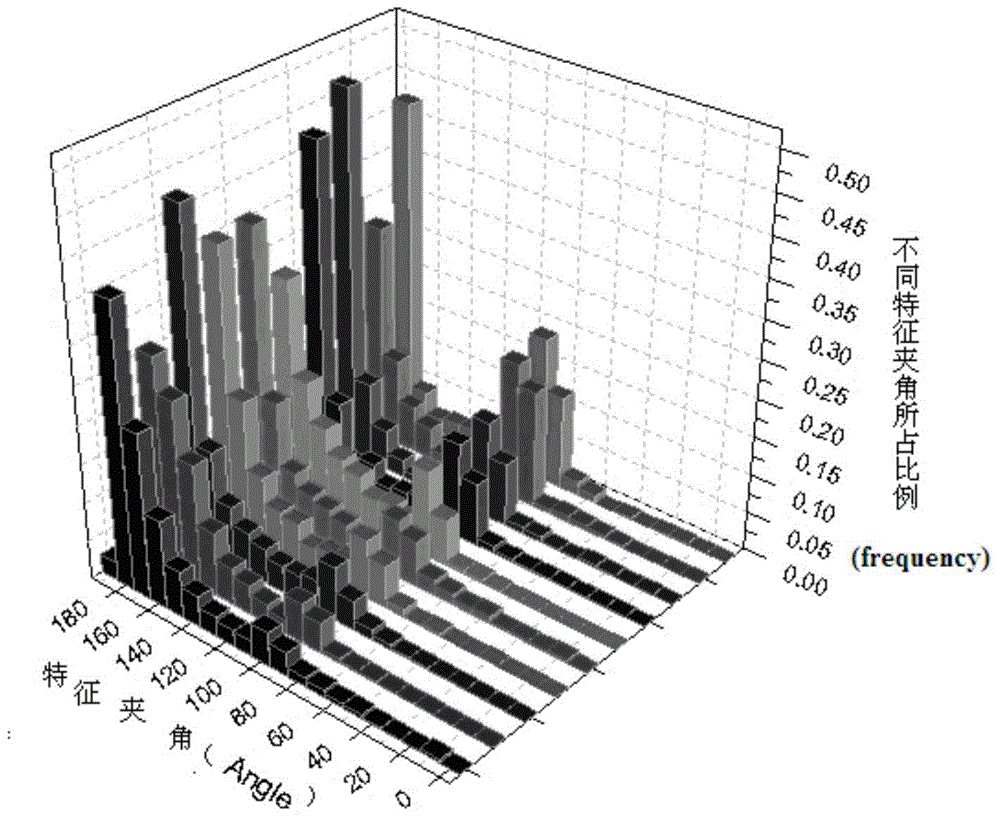
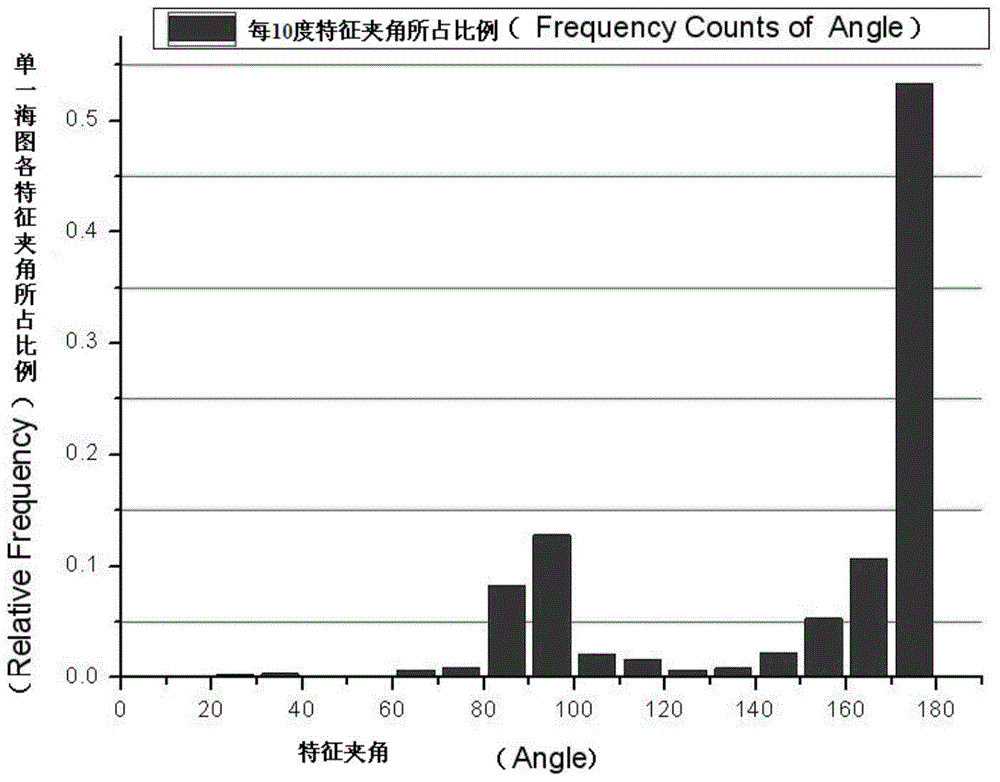
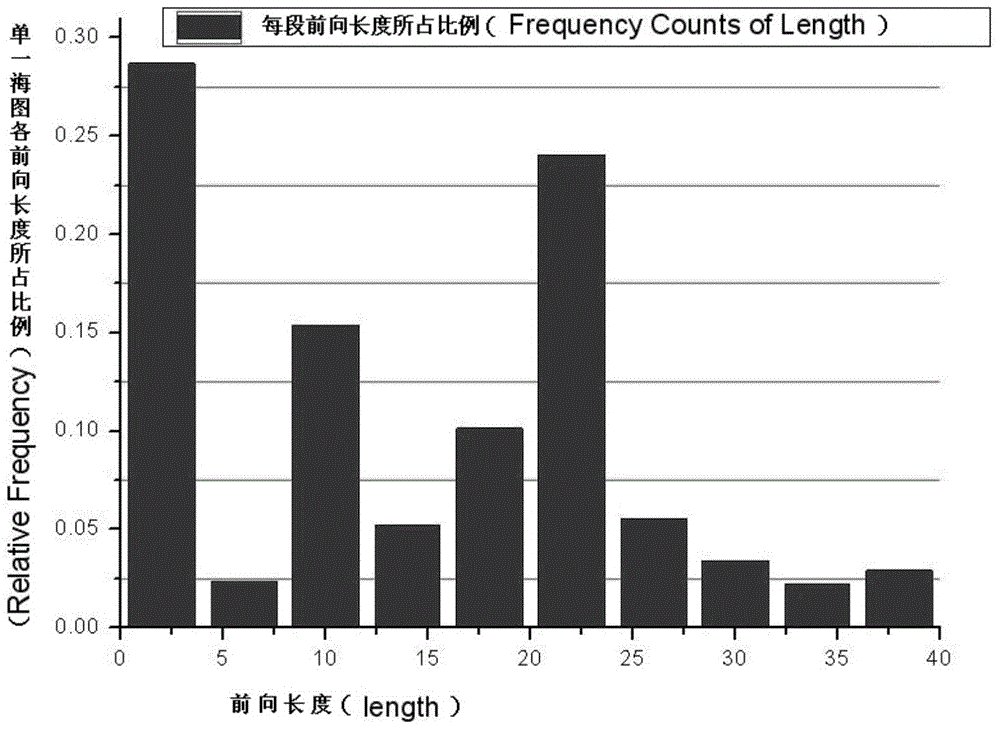
[0033] Such as figure 1 As shown, this method includes three steps, raw data extraction and feature analysis, overall feature extraction, and local feature extraction. The first step extracts the coastline data of the electronic chart through the extraction algorithm, and performs statistical analysis on the original coastline data to endow it with quantitative features; Control, identifying the natural and artificial shorelines and completely retaining the artificial shorelines; the last step is to extract local feature points through a local optimization algorithm to achieve accurate simplification of the natural coastline while ensuring the efficiency of simplification.
[0034] The details are as follows:
[0035] 1. Extract the original coastline data and perform feature analysis: extract the coastline data from the international st...
PUM
 Abstract
Description
Claims
Application Information
 - R&D
- Intellectual Property
- Life Sciences
- Materials
- Tech Scout
- Unparalleled Data Quality
- Higher Quality Content
- 60% Fewer Hallucinations
Browse by: Latest US Patents, China's latest patents, Technical Efficacy Thesaurus, Application Domain, Technology Topic, Popular Technical Reports.
© 2025 PatSnap. All rights reserved.Legal|Privacy policy|Modern Slavery Act Transparency Statement|Sitemap|About US| Contact US: help@patsnap.com


