Magnetic declination calibration method based on GNSS positioning

A calibration method and magnetic declination technology, applied in the field of magnetic declination calibration, can solve the problems of inability to magnetic calibration, inability to combine GNSS and magnetic sensors, etc., to achieve the effect of convenient measurement, improved convenience, and guaranteed high precision

Active Publication Date: 2015-03-25
GUANGZHOU GEOELECTRON
View PDF4 Cites 7 Cited by
  • Summary
  • Abstract
  • Description
  • Claims
  • Application Information

AI Technical Summary

Problems solved by technology

[0006] The technical problem to be solved by the present invention is to provide a magnetic declination calibration method based on GNSS positioning, so as to overcome the pr

Method used


Image

  • Magnetic declination calibration method based on GNSS positioning
  • Magnetic declination calibration method based on GNSS positioning
  • Magnetic declination calibration method based on GNSS positioning

Examples


Embodiment Construction

[0042] Specific embodiments of the present invention are given below, and the present invention is described in detail in conjunction with the drawings.

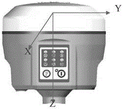
[0043] The present invention is based on the GNSS instrument with tilt measurement, uses high-precision GNSS positioning to calibrate the azimuth angle of the magnetic sensor, so that the accurate azimuth angle can be output, so that the high-precision compensation value can be calculated.

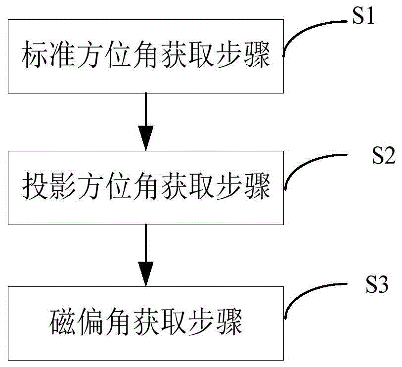
[0044] figure 1 It is a schematic flow chart of the magnetic declination calibration method of the present invention, as figure 1 As shown, a kind of magnetic declination calibration method based on GNSS positioning provided by the present invention, the method comprises:

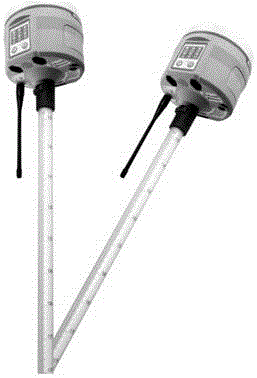
[0045] Standard azimuth acquisition step S1: for calculating the standard azimuth between the center point and the deviation point in multiple directions using GNSS positioning on the GNSS receiver;

[0046] Projected azimuth acquisition step S2: for calculating the...


PUM


Abstract

The invention discloses a magnetic declination calibration method based on GNSS positioning. The method includes the standard azimuth angle obtaining step used for calculating standard azimuth angles between center points in multiple directions and deviation points through GNSS positioning on a GNSS receiving machine, the projection azimuth angle obtaining step used for calculating projection azimuth angles of projections of the X axes of magnetic sensors in multiple directions in a horizontal plane through collected sensor data, and the magnetic declination obtaining step used for calculating the difference between the standard azimuth angle and the projection azimuth angle in each direction and obtaining magnetic declination on the basis of the average value of differences in all the directions for calibration of the magnetic sensors.

Description

technical field [0001] The invention relates to magnetic declination calibration, in particular to a magnetic declination calibration method applied to GNSS instruments. Background technique [0002] In the traditional GNSS measurement, it is not necessary to use the magnetic sensor for correction. The calibration of the magnetic sensor uses the traditional fixed azimuth method to correct the technical deviation. The present invention uses the GNSS positioning technology to reversely calculate the correct azimuth angle, and then compare it with the output of the magnetic sensor. A set of conversion parameters are calculated together with the data, so that the calculation results in all directions are closest to the true value when using this set of parameters for conversion, which can facilitate magnetic calibration in the field and improve efficiency. [0003] The existing patents related to magnetic declination calibration using GNSS are mainly focused on the implementatio...

Claims


Application Information

Patent Timeline
IPC IPC(8): G01S19/23G01C25/00G01C21/06
CPCG01C21/06G01C25/00G01S19/23
Inventor 黄坤赵翔李仁德
Owner GUANGZHOU GEOELECTRON
Why Eureka
Try Eureka