Check patentability & draft patents in minutes with Patsnap Eureka AI!

Vehicle-mounted high platform LIDAR main and auxiliary rotational scanning data collection system

A data acquisition system and rotary scanning technology, applied in radio wave measurement systems, instruments, etc., can solve problems such as scratches, improve accuracy and accuracy, and be easy to use

Inactive Publication Date: 2015-04-08
CHINESE ACAD OF SURVEYING & MAPPING
View PDF8 Cites 0 Cited by
  • Summary
  • Abstract
  • Description
  • Claims
  • Application Information

AI Technical Summary

Problems solved by technology

[0004] The technical problem to be solved by the present invention is to provide a vehicle-mounted high platform LIDAR parent-to-child rotation scanning data acquisition system. The system solves the problem that the LIDAR equipment located on the roof cannot be retracted into the compartment and may be blocked by obstacles such as branches when moving. The problem of scratching; the system uses a motor vehicle to transport the device to a suitable location for scanning when there is a passable avenue. When there is no avenue, the movable vehicle can be moved out of the motor vehicle compartment, and the movable vehicle can be used to transport the LIDAR device to a suitable location, which is convenient to use; and all The above system also includes a lifting and rotating device, which can lift the LIDAR equipment to a suitable height for measurement, which improves the accuracy and accuracy of the measurement
[0006] The beneficial effect of adopting the above technical solution is that the system solves the problem that the LIDAR device on the roof cannot be retracted into the compartment, and may be scratched by obstacles such as branches when moving; the system can be applied to various Terrain, use a motor vehicle to transport the LIDAR device to a suitable location for scanning on the avenue where motor vehicles can pass, and move the movable vehicle out of the motor vehicle compartment when the motor vehicle cannot pass the path or mountain road, and use a movable vehicle to transport the LIDAR device to the appropriate location location, easy to use; and the system also includes a lifting and rotating device, which can lift the LIDAR equipment to a suitable height for measurement, improving the accuracy and accuracy of the measurement

Method used


Image

  • Vehicle-mounted high platform LIDAR main and auxiliary rotational scanning data collection system

Examples


Embodiment Construction

[0010] The technical solutions in the embodiments of the present invention are clearly and completely described below in conjunction with the accompanying drawings in the embodiments of the present invention. Obviously, the described embodiments are only part of the embodiments of the present invention, not all of them. Based on the embodiments of the present invention, all other embodiments obtained by persons of ordinary skill in the art without making creative efforts belong to the protection scope of the present invention.

[0011] In the following description, a lot of specific details are set forth in order to fully understand the present invention, but the present invention can also be implemented in other ways different from those described here, and those skilled in the art can do it without departing from the meaning of the present invention. By analogy, the present invention is therefore not limited to the specific examples disclosed below.

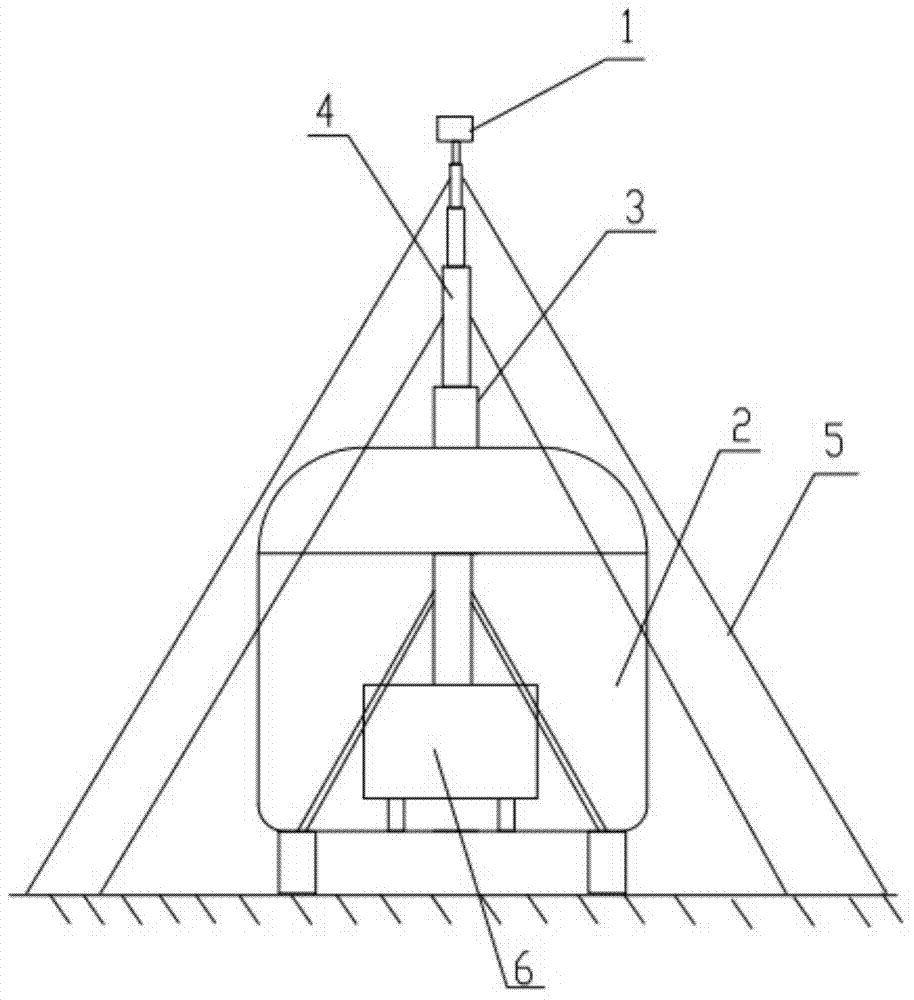
[0012] like figure 1 A...


PUM


Abstract

The invention discloses a vehicle-mounted high platform LIDAR main and auxiliary rotational scanning data collection system and relates to the technical field of a measuring device for object positions. The vehicle-mounted high platform LIDAR main and auxiliary rotational scanning data collection system comprises a motor vehicle, a mobile vehicle which is arranged inside the motor vehicle, LIDAR equipment and a lifting rotation device with the bottom being fixed with the mobile vehicle; the mobile vehicle is fixed inside the motor vehicle in a separable mode; the top of the motor vehicle is provided with a skylight; the LIDAR equipment is fixed at the top end of the lifting rotation device; the lifting rotation device comprises a plurality of lifting sections, lifting section lifting driving device and lifting section rotation driving device; steel wire stay cords are arranged on the lifting sections; the lifting section lifting driving device drives the lifting sections to increase or decrease; the lifting section rotation driving device drives the lifting sections to rotate. The vehicle-mounted high platform LIDAR main and auxiliary rotational scanning data collection system can be applicable to measuring of various topographies and improves the data measuring accuracy and reliability.

Description

technical field [0001] The invention relates to the technical field of measuring devices for object positions, in particular to a vehicle-mounted high platform LIDAR parent-child rotation scanning data acquisition system. Background technique [0002] The key to digital city construction lies in the acquisition, management and update of urban spatial information, which is positional, multi-dimensional and time-sequential. Data is the carrier of information, so the location, multi-dimensionality, and timing of urban spatial information determine that urban spatial data has certain location accuracy, time accuracy, and complete spatial coordinates and description forms. [0003] Therefore, the accuracy of spatial data collection is a key technology for digital cities. The existing vehicle-mounted LIDAR devices are generally transported by larger vehicles, which is inconvenient to use in areas such as narrow roads or mountainous areas. Contents of the invention [0004] The ...

Claims


Application Information

Patent Timeline
Patent Type & Authority Applications(China)
IPC IPC(8): G01S7/481
CPCG01S7/4817
Inventor 郏卫萍左建章关艳玲杨铁利王留召
Owner CHINESE ACAD OF SURVEYING & MAPPING
Features
  • R&D
  • Intellectual Property
  • Life Sciences
  • Materials
  • Tech Scout
  • Unparalleled Data Quality
  • Higher Quality Content
  • 60% Fewer Hallucinations
Learn More