Method of Displaying and Drawing Meteorological Elements in 3D Earth Model
A 3D earth and model technology, applied in 3D modeling, image data processing, instruments, etc., can solve the problems of reducing the interactive display speed of 3D meteorological models, affecting user experience, slow loading speed, etc., to enhance user experience, improve The effect of interactive display speed
- Summary
- Abstract
- Description
- Claims
- Application Information
AI Technical Summary
Problems solved by technology
Method used
Image
Examples
Embodiment Construction
[0027] The present invention is described in detail below in conjunction with accompanying drawing:
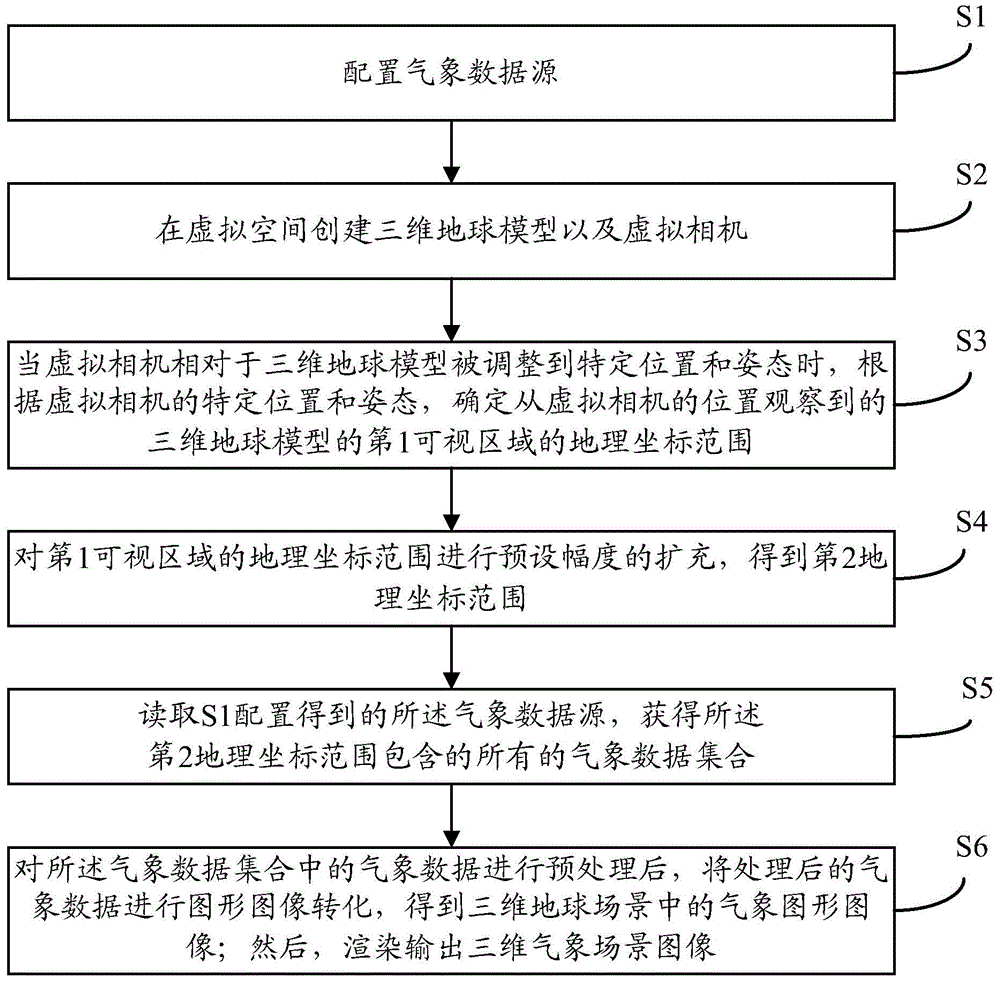
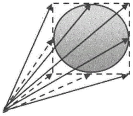
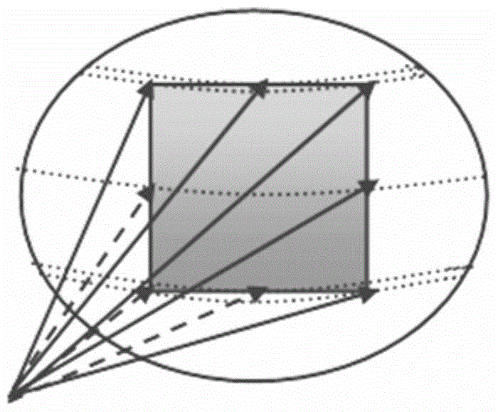
[0028] combine figure 1 , the present invention provides a method for displaying and drawing meteorological elements on a three-dimensional earth model. After adjusting the position and attitude of the virtual camera, the data requirements are determined by defining the visible area of the three-dimensional earth model observed from the position of the virtual camera. Prediction, that is: adaptively select the meteorological data related to the visible area; then, after necessary processing is only performed on the meteorological data related to the visible area, the processed meteorological data is transformed into the corresponding geographic location of the 3D earth model ; and, instead of loading the complete 3D weather scene, only the weather scene related to the visible area in the 3D earth model needs to be loaded, thereby improving the loading speed of the weather sc...
PUM
 Abstract
Description
Claims
Application Information
 - R&D
- Intellectual Property
- Life Sciences
- Materials
- Tech Scout
- Unparalleled Data Quality
- Higher Quality Content
- 60% Fewer Hallucinations
Browse by: Latest US Patents, China's latest patents, Technical Efficacy Thesaurus, Application Domain, Technology Topic, Popular Technical Reports.
© 2025 PatSnap. All rights reserved.Legal|Privacy policy|Modern Slavery Act Transparency Statement|Sitemap|About US| Contact US: help@patsnap.com


