
Method for expressing evolution trend of ground settlement space

A ground subsidence and space technology, applied in the field of geographic science, can solve problems such as hazards, inaccurate measurement level points, cracked underground pipelines, etc.

Active Publication Date: 2016-03-02
CAPITAL NORMAL UNIVERSITY
View PDF3 Cites 5 Cited by
  • Summary
  • Abstract
  • Description
  • Claims
  • Application Information

AI Technical Summary

Problems solved by technology

It has also caused a certain degree of harm to urban construction and infrastructure: factories and residential buildings have cracked walls, foundations have sunk, and underground pipelines have been damaged in more than 50 places. At the same time, the earthquake resistance of some buildings has been reduced and a large number of measurement level points have been inaccurate. , have a greater impact on urban construction and people's property safety

Method used


Image

  • Method for expressing evolution trend of ground settlement space
  • Method for expressing evolution trend of ground settlement space
  • Method for expressing evolution trend of ground settlement space

Examples


Embodiment Construction

[0042] The following will clearly and completely describe the technical solutions in the embodiments of the present invention with reference to the accompanying drawings in the embodiments of the present invention. Obviously, the described embodiments are only some, not all, embodiments of the present invention. Based on the embodiments of the present invention, all other embodiments obtained by persons of ordinary skill in the art without making creative efforts belong to the protection scope of the present invention.

[0043] 1. Obtain surface deformation information by integrating permanent scattering and small-baseline interferometry technology

[0044] 1.1 Principle of permanent scatterer interferometry technology

[0045] The permanent scatterer interferometry technique (Permanent Scaterers, PS) was first proposed by Ferreti et al. The so-called permanent scatterer (PS), that is, the scatterer target point that can still maintain stable reflection characteristics for a l...


PUM


Abstract

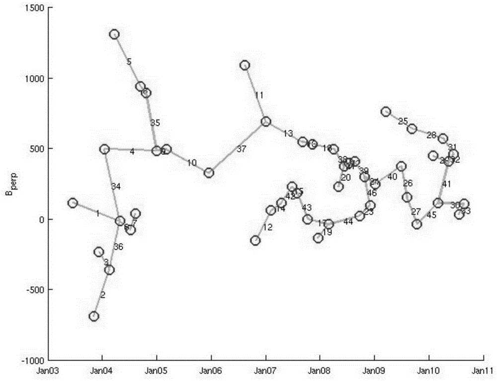
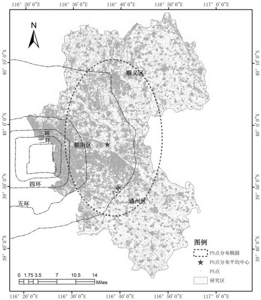
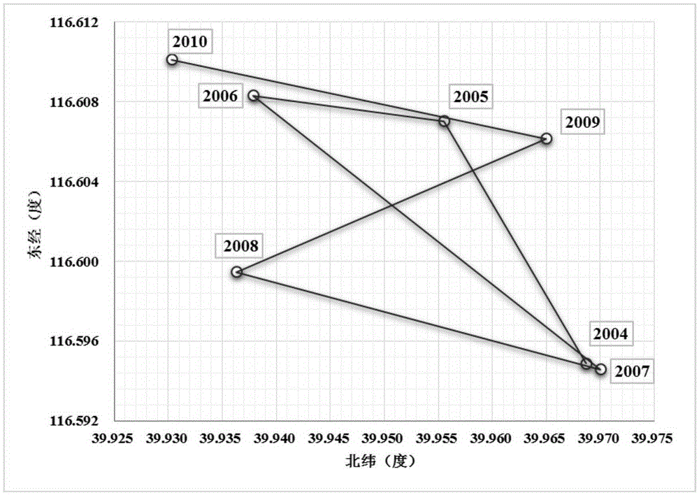
The invention discloses a method for expressing the evolution trend of a ground settlement space, comprising the following steps: a data set obtained through permanent scatterer interferometry and a data set obtained through small baseline interferometry are fused to acquire surface deformation information; a weighted standard deviation ellipse method is used to analyze the directionality of PS point distribution in the surface deformation information; and the weighted standard deviation ellipse of PS point spatial distribution is calculated by respectively taking the average settlement rate and the settlement of each year as the weight, wherein the standard deviations of geographical elements in the X direction and in the Y direction are respectively calculated by taking the average position of spatial distribution of the geographical elements in the surface deformation information as the ellipse center, the ellipse axes containing geographical element distribution are thus defined, the direction of the long axis of the ellipse reflects the main trend direction of distribution in a two-dimension space, and the direction of the short axis represents the degree of deviation from the center of gravity in the secondary direction.

Description

technical field [0001] The invention relates to the field of geographical science, in particular to a method for expressing the spatial evolution trend of land subsidence. Background technique [0002] The large-scale exploitation of groundwater makes the porosity of the aquifer gradually decrease, leading to the increase of effective stress and directly triggering land subsidence. As a common geological disaster, land subsidence occurs slowly, lasts for a long time, affects a wide range, has complex genetic mechanisms, and is difficult to prevent and control. It will pose a greater threat to resource utilization, environmental protection, economic development, urban construction and people's lives [1] . At present, land subsidence has affected the layout and planning of urban construction and threatened the living safety of the people. [2] . It has also caused a certain degree of harm to urban construction and infrastructure: factories and residential buildings have cra...

Claims


Application Information

Patent Timeline
IPC IPC(8): G01S13/90
CPCG01S13/9023
Inventor 周超凡陈蓓蓓宫辉力段光耀李小娟赵文吉高明亮
Owner CAPITAL NORMAL UNIVERSITY
Learn More