Estimation method for soil respiration on basis of remote sensing data
A technology of soil respiration and remote sensing data, applied in the field of soil respiration estimation, can solve the problems of large uncertainty and coarse spatial resolution, and achieve the effect of reducing uncertainty
- Summary
- Abstract
- Description
- Claims
- Application Information
AI Technical Summary
Problems solved by technology
Method used
Image
Examples
Embodiment Construction
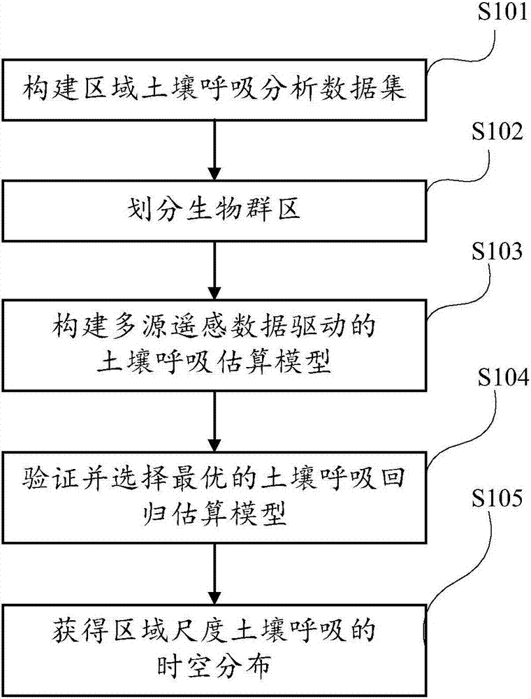
[0011] The technical solutions of the present invention will be further described below in conjunction with the accompanying drawings and embodiments.
[0012] figure 1 A flow chart of the soil respiration estimation method according to the present invention is shown. Such as figure 1 As shown, the soil respiration estimation method of the present invention starts at step S101, and a regional soil respiration analysis data set is constructed through data sharing, literature research, field experiments and other means. The regional soil respiration analysis data set includes: soil respiration observation data, multi-source remote sensing data and auxiliary analysis data (such as climate type data).
[0013] Next, step S102 is executed to divide biome regions. Different biomes have different climate and vegetation characteristics. Therefore, the responses of soil respiration to environmental and vegetation factors in different biomes may be very different. In order to improv...
PUM
 Abstract
Description
Claims
Application Information
 - R&D
- Intellectual Property
- Life Sciences
- Materials
- Tech Scout
- Unparalleled Data Quality
- Higher Quality Content
- 60% Fewer Hallucinations
Browse by: Latest US Patents, China's latest patents, Technical Efficacy Thesaurus, Application Domain, Technology Topic, Popular Technical Reports.
© 2025 PatSnap. All rights reserved.Legal|Privacy policy|Modern Slavery Act Transparency Statement|Sitemap|About US| Contact US: help@patsnap.com

