Method for modeling substation GIS equipment based on point cloud data
A point cloud data and substation technology, which is applied in the field of modeling substation GIS equipment based on point cloud data, can solve the problems of poor model accuracy and missing details
- Summary
- Abstract
- Description
- Claims
- Application Information
AI Technical Summary
Problems solved by technology
Method used
Image
Examples
Embodiment Construction
[0086] The method for modeling substation GIS equipment based on point cloud data according to the present invention will be further described in detail below in conjunction with the accompanying drawings and specific embodiments.
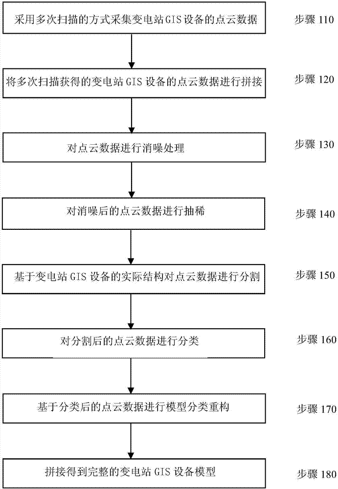
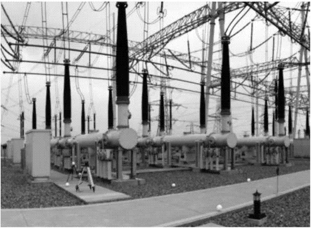
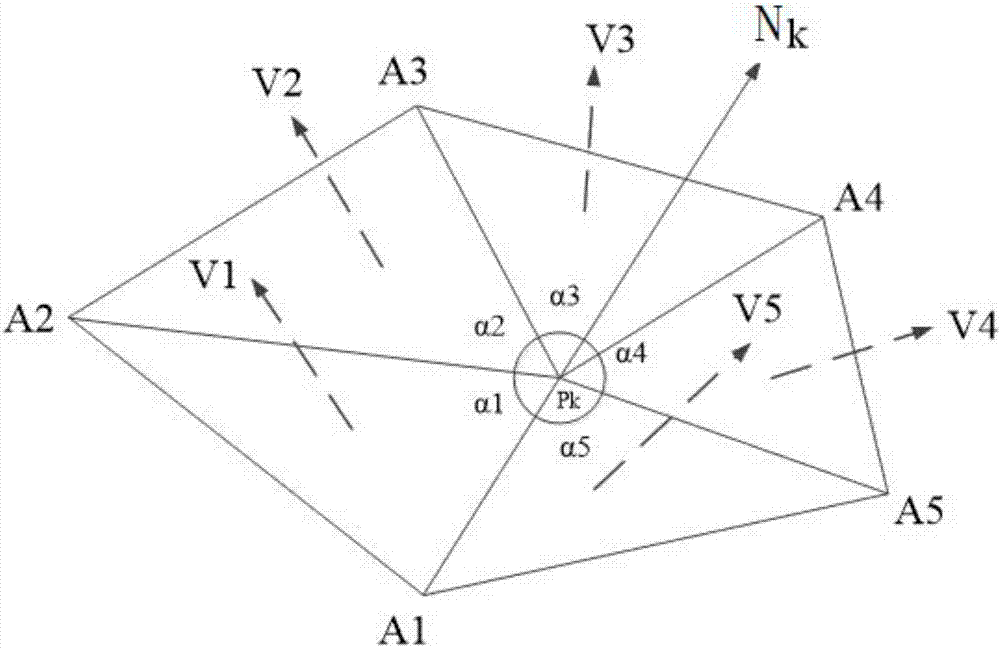
[0087] figure 1 The flow chart of the method for modeling substation GIS equipment based on point cloud data in an implementation manner is illustrated. figure 2 Shows the real scene of the substation GIS equipment. image 3 It illustrates the calculation principle of the normal vector of each point in the point cloud data in an embodiment of the method for modeling substation GIS equipment based on point cloud data according to the present invention. Figure 4 It shows the point cloud data of the GIS equipment extracted by the method for modeling the substation GIS equipment based on the point cloud data according to the present invention in an implementation manner. Figure 5 shows from Figure 4 Base point cloud data segmented from the point...
PUM
 Abstract
Description
Claims
Application Information
 - R&D
- Intellectual Property
- Life Sciences
- Materials
- Tech Scout
- Unparalleled Data Quality
- Higher Quality Content
- 60% Fewer Hallucinations
Browse by: Latest US Patents, China's latest patents, Technical Efficacy Thesaurus, Application Domain, Technology Topic, Popular Technical Reports.
© 2025 PatSnap. All rights reserved.Legal|Privacy policy|Modern Slavery Act Transparency Statement|Sitemap|About US| Contact US: help@patsnap.com


