Parking lot automatic mapping and high-precision localization method based on parking locations and two-dimensional codes

A two-dimensional code, parking lot technology, applied in the field of automatic mapping and high-precision positioning, can solve problems such as high cost, difficult equipment, lack of rich textures, etc., to achieve the effect of strong practicability, improved accuracy, and elimination of accumulated noise

Inactive Publication Date: 2017-09-19
TONGJI UNIV
View PDF5 Cites 64 Cited by
  • Summary
  • Abstract
  • Description
  • Claims
  • Application Information

AI Technical Summary

Benefits of technology

This patented technology helps locate cars accurately within their own car park area while avoids interference from external sources like radar or other devices that may be hidden behind obstacles such as trees or buildings. It uses cameras mounted at different angles for monitoring traffic flow and road conditions along its way. By analyzing these images, it identifies areas where there're no signs of any movement but only an approximate line between them. These lines help determine how far each point they have moved over time. Based upon this analysis, maps were created which could guide self driving cars towards specific locations inside the designated space. Overall, this technology provides precise data about the surrounding environment and allows robots to navigate safely into place.

Problems solved by technology

This patented technical problem addressed in this patents relates to improving outdoor location finding capabilities for robots that use radio waves like radars instead of wires during autonomous car rental operations without requiring expensive infrastructure. Additionally, there may also exist limitations with existing techniques used for robot indooring within buildings where no wireline connections have been established.

Method used


Image

  • Parking lot automatic mapping and high-precision localization method based on parking locations and two-dimensional codes
  • Parking lot automatic mapping and high-precision localization method based on parking locations and two-dimensional codes
  • Parking lot automatic mapping and high-precision localization method based on parking locations and two-dimensional codes

Examples


Embodiment Construction

[0018] Based on the technical solution of the present invention, the technical solution of the present invention will be introduced in more detail below in conjunction with the accompanying drawings.

[0019] The steps are in order:

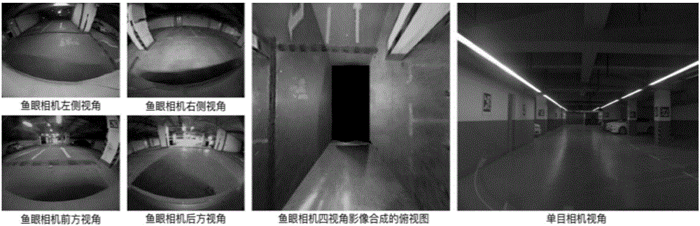
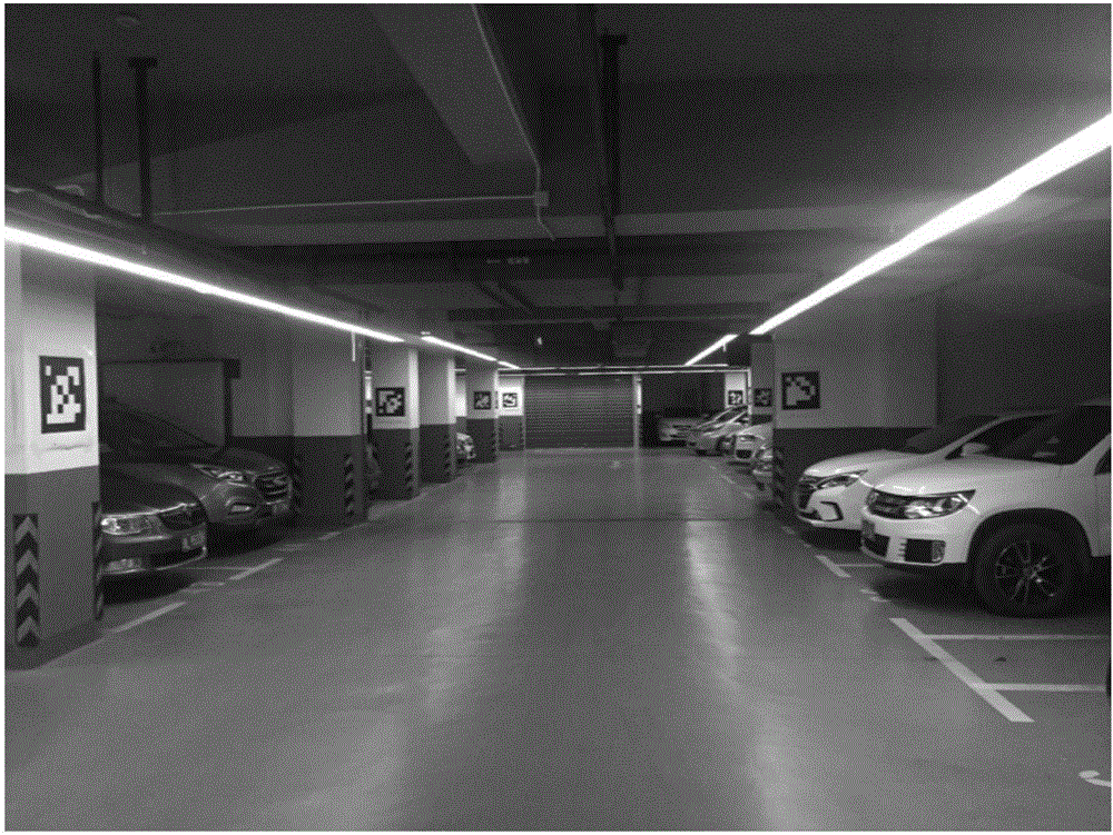
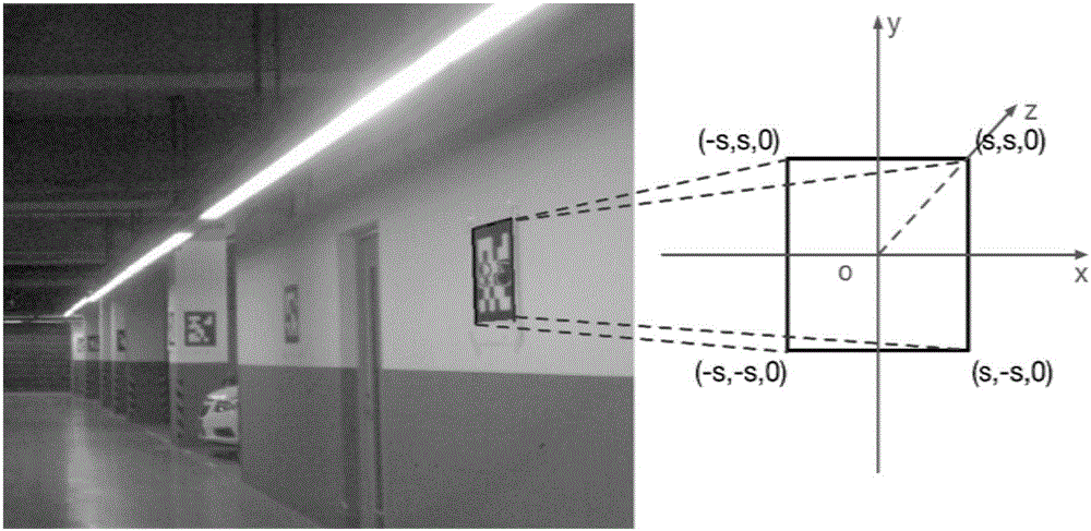
[0020] 1. Obtain the image information of the front of the vehicle and the ground around the vehicle through a low-cost forward-looking monocular camera and a fisheye surround-view camera

[0021] Visual sensor layout and calibration:

[0022] 1.1 Layout

[0023] The present invention adopts 1 forward-looking camera and 4 fisheye surround-view cameras, the resolution of the forward-view camera is 1080p or above, the horizontal field of view is between 75-90 degrees, the frame rate is 25Hz, and the delay is less than 5ms; the fisheye surround-view camera The resolution is 720p or above, the horizontal field of view is 180 degrees, the frame rate is 25Hz, and the delay is less than 5ms. Among them, the forward-looking camera is arranged between ...


PUM


Abstract

The invention provides a simultaneous localization and mapping (SLAM) method based on parking locations and two-dimensional codes. A surround view system based on a low-cost front-view monocular camera and composed of a fisheye camera performs robust identification of parking locations, parking location numbers and pre-arranged two-dimensional codes in an environment; the heading and speed of a vehicle are observed by using a low-cost inertial navigation device; and the optimal estimation of the parking locations and marking locations of the two-dimensional codes is realized by an SLAM algorithm, a garage plane distribution map is automatically created, and the real-time and high-precision decimeter localization of an unmanned vehicle is realized by using the mapping result.

Description


Claims


Application Information

Patent Timeline
Owner TONGJI UNIV
Why Eureka
Try Eureka