Method and device for determining plane in point cloud data, image superposition method and device

A technology of point cloud data and determination method, applied in image analysis, image enhancement, image data processing and other directions, can solve problems such as slow processing speed, save time, improve experience, and ensure the effect of authenticity

Active Publication Date: 2020-11-06
CHENGDU IDEALSEE TECH
View PDF5 Cites 0 Cited by
  • Summary
  • Abstract
  • Description
  • Claims
  • Application Information

AI Technical Summary

Problems solved by technology

[0005] The purpose of the present invention is to provide a method and device for determining a plane in point cloud data, an image overlay method and equipment, and solve the technical problem of slow processing speed in the method for determining a plane from point cloud data in the prior art, Can save time spent determining planes from point cloud data

Method used


Image

  • Method and device for determining plane in point cloud data, image superposition method and device
  • Method and device for determining plane in point cloud data, image superposition method and device
  • Method and device for determining plane in point cloud data, image superposition method and device

Examples


Embodiment 1

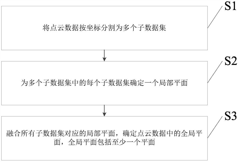
[0077] An embodiment of the present invention provides a method for determining a plane in point cloud data, including:

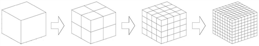
[0078] Divide the point cloud data into multiple sub-datasets according to the coordinates; specifically, the point cloud data can be divided according to the coordinates on the three axes of x, y, and z at the same time, so that the entire point cloud data can be divided into multiple sub-data sets Set, that is to say, divide the space corresponding to the entire point cloud data into multiple subspaces of uniform size, and each subspace corresponds to a subdataset;

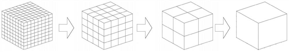
[0079] Determine a local plane for each sub-dataset in multiple sub-datasets; specifically, since the subspace corresponding to each sub-dataset is a small part of the space corresponding to the entire point cloud data, it can be approximately considered that the sub-dataset in the sub-dataset There is only one plane, therefore, by plane fitting to the data points in the sub-dataset, a local ...


PUM


Abstract

The present invention discloses a method and an apparatus for determining a plane in point cloud data, and an image superposition method and device. The method for determining the plane in point cloud data comprises: dividing the point cloud data into a plurality of sub data sets according to coordinates; determining a partial plane for each sub data set in the plurality of sub data sets; and fusing the partial planes corresponding to all the sub data sets and determining a global plane in the point cloud data, wherein the global plane comprises at least one plane. Since there is no need for multi-plane detection of point cloud data, the global plane in the point cloud data can be determined, so that the time taken in the step for multi-plane detection of point cloud data is saved and the processing speed for determining the plane in point cloud data is improved.

Description

technical field [0001] The invention relates to the field of spatial data processing, in particular to a method and device for determining a plane in point cloud data, and an image superposition method and device. Background technique [0002] Point cloud data refers to the data set obtained after scanning the 3D scene with a 3D coordinate measuring machine, photo scanner or laser scanner, and each point in the data set includes the 3D coordinate data of the point , can also include color information, laser reflection intensity information, and so on. [0003] With the demand for planes in 3D scenes by technologies such as robot positioning and navigation, scene analysis and augmented reality (English: Augmented Reality; AR for short), more and more researches have been done on the method of determining planes from point cloud data. . For example, in the prior art, the plane is usually determined from the point cloud data by the least square method or the eigenvalue method...

Claims


Application Information

Patent Timeline
Patent Type & Authority Patents(China)
IPC IPC(8): G06T7/10G06T7/136
CPCG06T2207/10028G06T2207/20221
Inventor 郑黎力黄敏
Owner CHENGDU IDEALSEE TECH
Why Eureka
Try Eureka