ArcGIS Toolbox for Batch Extraction of Remote Sensing Image Information
A technology of remote sensing image and toolbox, which is applied in the field of remote sensing image information extraction, and can solve problems such as inconvenient use
- Summary
- Abstract
- Description
- Claims
- Application Information
AI Technical Summary
Problems solved by technology
Method used
Image


Examples
Embodiment Construction
[0018] Click the Arcgis toolbox ArcCatalog, click the right mouse button and select New Python Toolbox, and name the toolbox. We name it here Remote Sensing Image Information Extraction Toolbox.pyt, then click Edit, and paste the prepared Python code into it. , the specific code is as follows.
[0019] The algorithm to realize the interface is introduced:
[0020] The completed function is to import the module and retrieve the specific extension module license, give the toolbox a name and define a list of all tool classes, as follows:
[0021]
[0022]
[0023] Let's take a look at how to implement each function with an example of night light data.
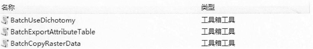
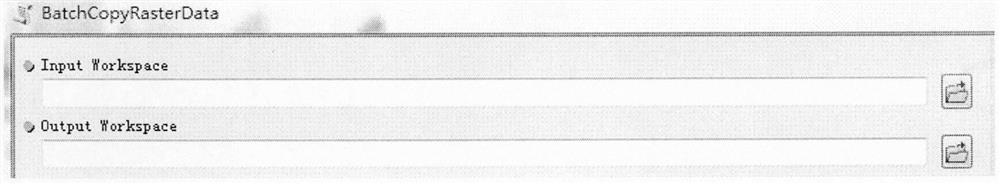
[0024] 1. Batch copy raster data (BatchCopyRasterData)
[0025] This tool can be used to scale a pixel type from one bit depth to another. When scaling a pixel depth, the raster displays the same bit depth, but the values are scaled to the new specified bit depth. BatchCopyRasterData can copy the image according to the ...
PUM
 Abstract
Description
Claims
Application Information
 - R&D
- Intellectual Property
- Life Sciences
- Materials
- Tech Scout
- Unparalleled Data Quality
- Higher Quality Content
- 60% Fewer Hallucinations
Browse by: Latest US Patents, China's latest patents, Technical Efficacy Thesaurus, Application Domain, Technology Topic, Popular Technical Reports.
© 2025 PatSnap. All rights reserved.Legal|Privacy policy|Modern Slavery Act Transparency Statement|Sitemap|About US| Contact US: help@patsnap.com