

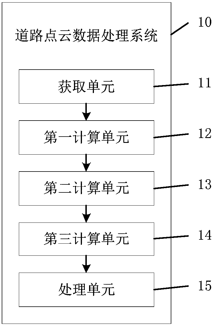
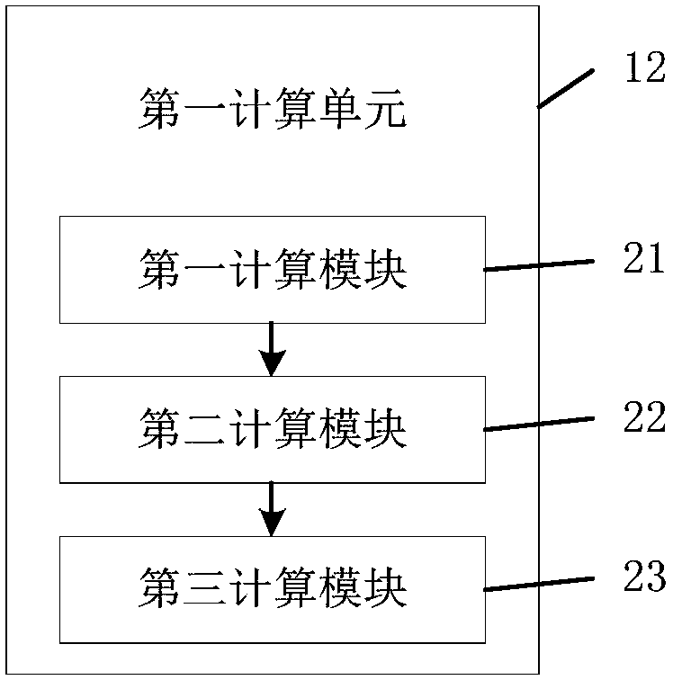
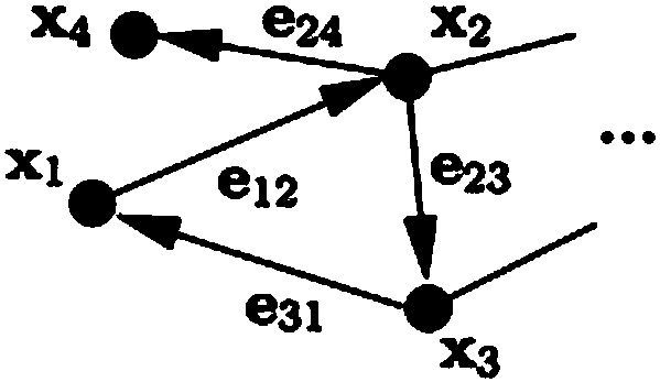
Road point cloud data processing system
A technology for processing system and cloud data, applied in directions such as road network navigators, can solve the problems of large data volume, reduce map data size, difficult transmission, etc., and achieve the effect of fast transmission speed
- Summary
- Abstract
- Description
- Claims
- Application Information
AI Technical Summary
Problems solved by technology
Method used
Image

Examples
Embodiment Construction
[0028] The specific implementation manners of the embodiments of the present invention will be described in detail below in conjunction with the accompanying drawings. It should be understood that the specific implementation manners described here are only used to illustrate and explain the embodiments of the present invention, and are not intended to limit the embodiments of the present invention.
[0029] The 3D point cloud map is mostly used in the positioning, perception and decision-making process of unmanned vehicles. The unmanned vehicle can locate the current position through the 3D point cloud map and know the lane conditions in advance. The above process is realized based on the 3D point cloud map, so the processing of the 3D point cloud map is very important for unmanned vehicles. Important, especially when the 3D point cloud map is compressed and then transmitted to the unmanned vehicle, the amount of transmitted data becomes smaller and the transmission speed is a...
PUM
 Abstract
Description
Claims
Application Information