Determination method for rainstorm-induced shallow landslide disaster warning threshold value
A method for determining rainstorms, applied in forecasting, data processing applications, climate sustainability, etc., can solve problems that affect the accuracy of early warning results and do not consider rainstorm differences
- Summary
- Abstract
- Description
- Claims
- Application Information
AI Technical Summary
Problems solved by technology
Method used
Image
Examples
Embodiment
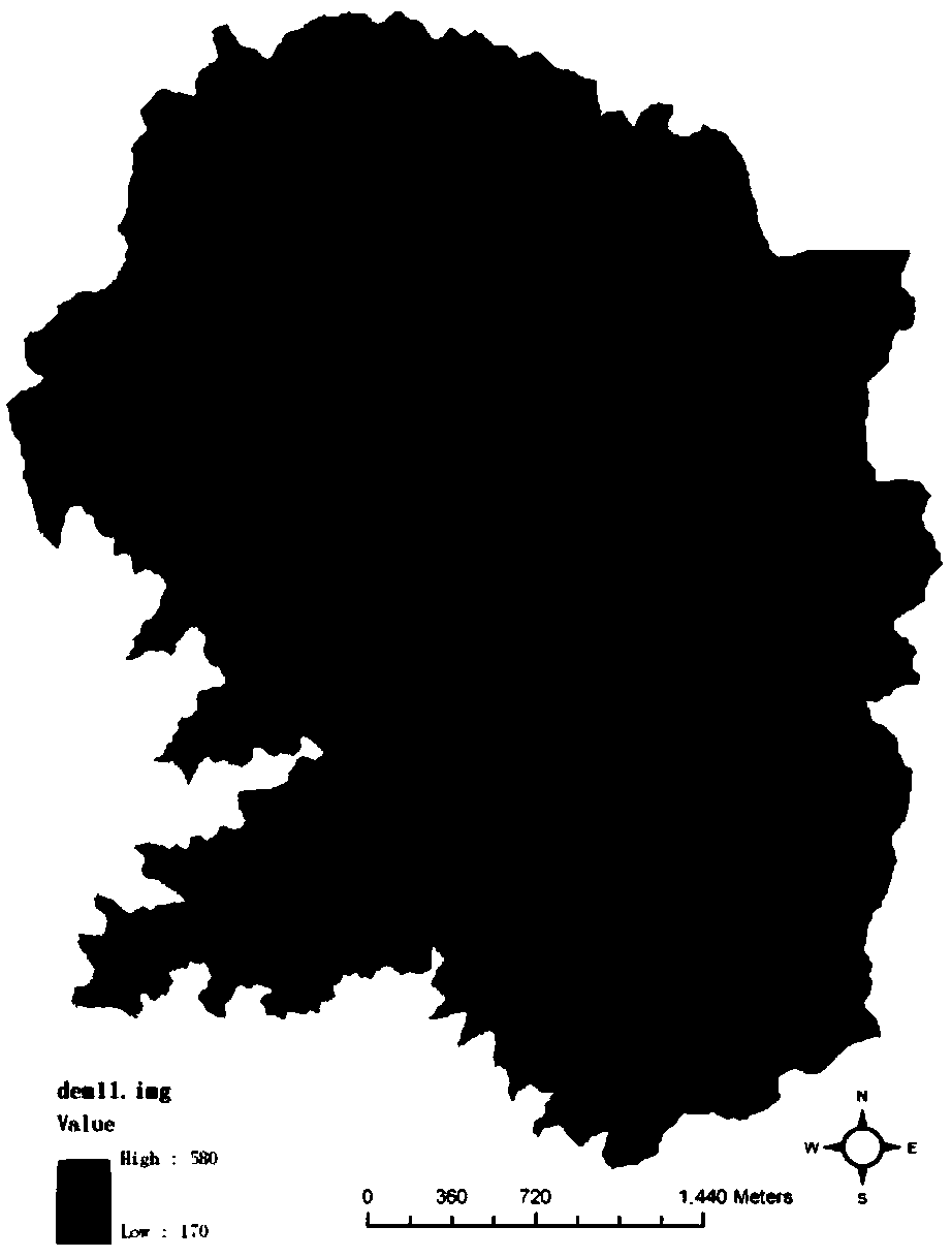
[0130] (1) Construct the DEM of the target area according to the topographic map data
[0131] The data calculation of the small watershed DEM is carried out on the ARCGIS platform. The main methods of DEM establishment: 1) vectorize 1:10,000 topographic map to establish spatial topological relationship; 2) use triangulated irregular network (TIN) method to convert vector line drawing into TIN data structure for spatial interpolation; 3) Convert the TIN data structure into a grid structure; 4) Resample the grid data to form a grid DEM (GRID format), and generate a small watershed DEM; 5) Interpolate the DEM data to generate contour lines and contour lines The scanned image is color-separated and superimposed, and the generated DEM is checked for gross errors to check whether there is an over-limit offset. The DEM of the study area is attached figure 2 .
[0132] (2) Division of slope units
[0133] Using the DEM generated by the 1:10,000 topographic map as the basis for t...
PUM
 Abstract
Description
Claims
Application Information
 - R&D
- Intellectual Property
- Life Sciences
- Materials
- Tech Scout
- Unparalleled Data Quality
- Higher Quality Content
- 60% Fewer Hallucinations
Browse by: Latest US Patents, China's latest patents, Technical Efficacy Thesaurus, Application Domain, Technology Topic, Popular Technical Reports.
© 2025 PatSnap. All rights reserved.Legal|Privacy policy|Modern Slavery Act Transparency Statement|Sitemap|About US| Contact US: help@patsnap.com


