"Multi-rule integration into one" region space planning data GIS-gravitational field analysis model

A space planning and analysis model technology, applied in the field of gravitational field analysis model construction, can solve the problem of plane analysis only looking at the surface and not seeing three-dimensional changes, and achieve the effect of convenient and convenient management

Inactive Publication Date: 2018-11-13
SOUTHWEST JIAOTONG UNIV
View PDF3 Cites 2 Cited by
  • Summary
  • Abstract
  • Description
  • Claims
  • Application Information

AI Technical Summary

Problems solved by technology

[0006] The technical problem to be solved by the present invention is to provide a method for constructing a GIS-gravitational field analysis model of "multi-planning" regional spatial planning data, making the existing site into a three-dimensional form, and the single or multiple superposition effects of various influencing factors The result is more intuitive and three-dimensional, and the three-dimensional terrain can also be rotated, which solves the disadvantages of the previous plane analysis that only looked at the surface and could not see the three-dimensional changes

Method used


Image

  • "Multi-rule integration into one" region space planning data GIS-gravitational field analysis model
  • "Multi-rule integration into one" region space planning data GIS-gravitational field analysis model
  • "Multi-rule integration into one" region space planning data GIS-gravitational field analysis model

Examples


Embodiment Construction

[0035] The present invention will be further described in detail below in conjunction with the accompanying drawings, so that those skilled in the art can implement it with reference to the description.

[0036] It should be understood that terms such as "having", "comprising" and "including" used herein do not exclude the presence or addition of one or more other elements or combinations thereof.

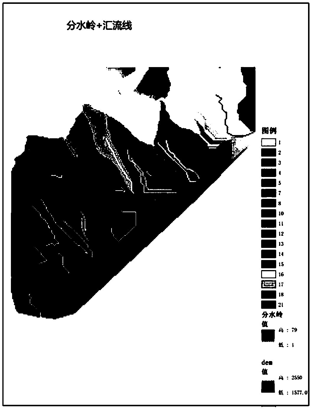
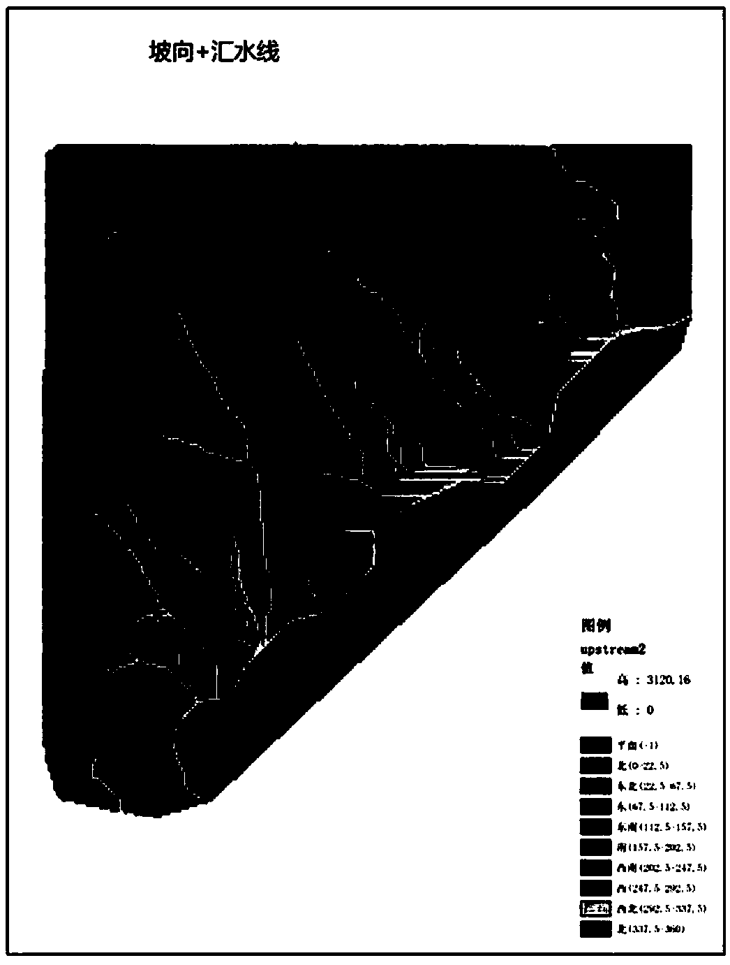
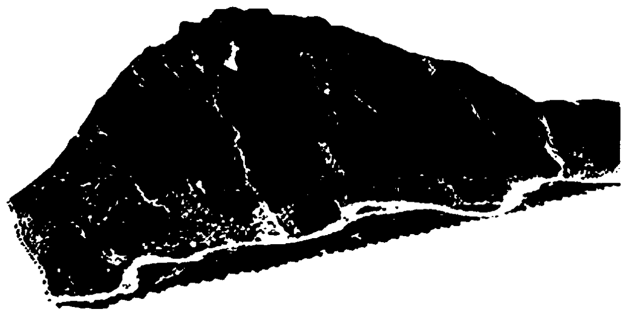
[0037] The present invention uses the data information of the site to generate TIN, DEM, etc. for various analysis, adds the satellite remote sensing image of the original site to the GIS, converts the two-dimensional into a three-dimensional model, and then superimposes layers to form a real three-dimensional simulation Model. Various factors can be presented from the same perspective, changing from the previous two-dimensional to a more intuitive three-dimensional, and the evaluation and selection of site safety also provides a more accurate and intuitive data model, and at the s...


PUM


Abstract

The invention relates to a construction method of a "multi-rule integration into one" region space planning data GIS-gravitational field analysis model . The method includes: step 1, collecting data,wherein site data are collected; step 2, using the collected site data to establish a three-dimensional space model; and step 3, constructing a gravitational field model. According to the method, ARCGIS and the gravitational field model are utilized for series analysis, perfect superposition of satellite remote-sensing pictures and DEM is realized, a more intuitive and stereoscopic three-dimensional representation of an existing site is established, thus more efficient space analysis and efficient management of integrated information can be realized, and thus an optimal path can be selected.

Description

technical field [0001] The invention relates to a method for constructing a gravitational field analysis model, in particular to a method for constructing a "multi-plan integration" regional space planning data GIS-gravitational field analysis model. Background technique [0002] Based on previous plans, such as national economic and development plans, urban and rural plans, ecological protection plans, and various special plans, the combination will cause a lot of confusion, and even some plans will conflict with each other when they are implemented on the land. Therefore, a set of technologies is needed to accurately implement these plans, avoid conflicts or correct previous conflicts, and achieve "multi-plan integration". [0003] In ARCGIS, the site can be analyzed through TIN, DEM, etc. The analysis results are more intuitive and clear, but only planar analysis results are obtained. Although the model can be transformed into three dimensions in ARCSCANCE, only some anal...

Claims


Application Information

Patent Timeline
Patent Type & Authority Applications(China)
IPC IPC(8): G06T17/05G06Q10/04
CPCG06Q10/047G06T17/05
Inventor 付飞刘刚
Owner SOUTHWEST JIAOTONG UNIV
Why Eureka
Try Eureka