Eureka AIR delivers breakthrough ideas for toughest innovation challenges, trusted by R&D personnel around the world.

Interactive extraction method of left and right lane contours based on laser point cloud

A technology of laser point cloud and extraction method, which is applied in image data processing, instrumentation, calculation, etc., can solve the problems of accuracy loss, inability to bend, and the interval of collected shape points is uncertain, so as to avoid the problem of accuracy loss and ensure high efficiency. Effect

Active Publication Date: 2019-01-29
WUHAN ZHONGHAITING DATA TECH CO LTD
View PDF6 Cites 6 Cited by
  • Summary
  • Abstract
  • Description
  • Claims
  • Application Information

AI Technical Summary

Problems solved by technology

The method of purely manual collection has high plane accuracy compared with point clouds, but due to the uncertain interval of collection points, it will cause uncertainty in elevation accuracy and take a long time. There is a great connection between the heart and the cost is high
Convert the point cloud into an image, and then use the traditional edge detection method of image recognition on the image, and use the method of Hough transform to extract the lane line, which cannot be effectively applied to the curve, and the image coordinates and the real coordinates of the point cloud are converted to each other There is a certain degree of precision loss when
Converting point clouds into images, and then using deep learning methods to extract lane lines has a strong dependence on the quality of lane line labeling, and requires a large number of samples. The production of these sample data requires a lot of manual input, and image coordinates and Accuracy loss problem when point cloud real coordinates are converted to each other

Method used


Image

  • Interactive extraction method of left and right lane contours based on laser point cloud
  • Interactive extraction method of left and right lane contours based on laser point cloud
  • Interactive extraction method of left and right lane contours based on laser point cloud

Examples


Embodiment Construction

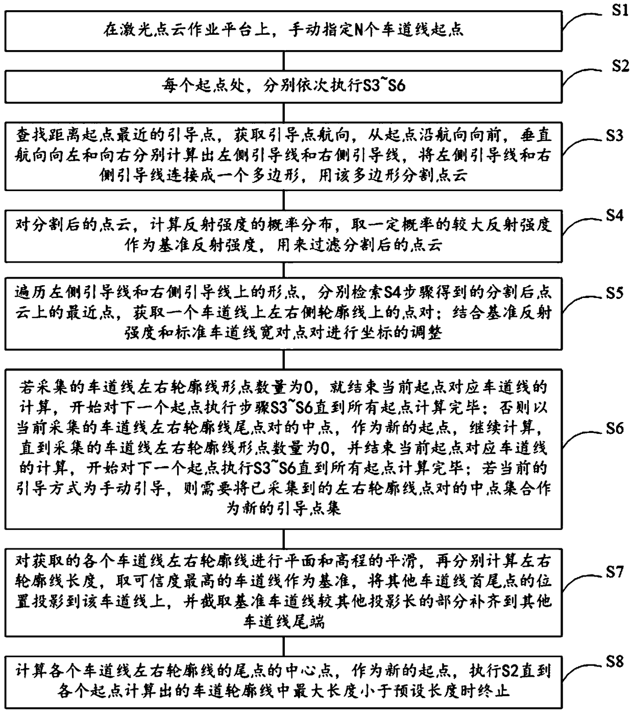
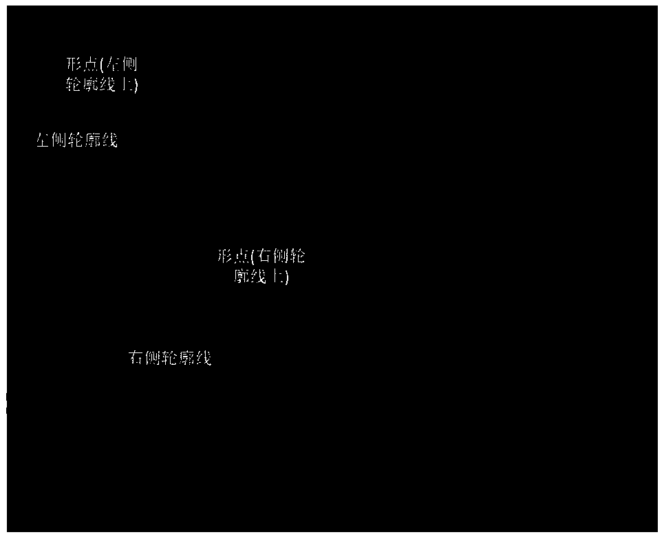
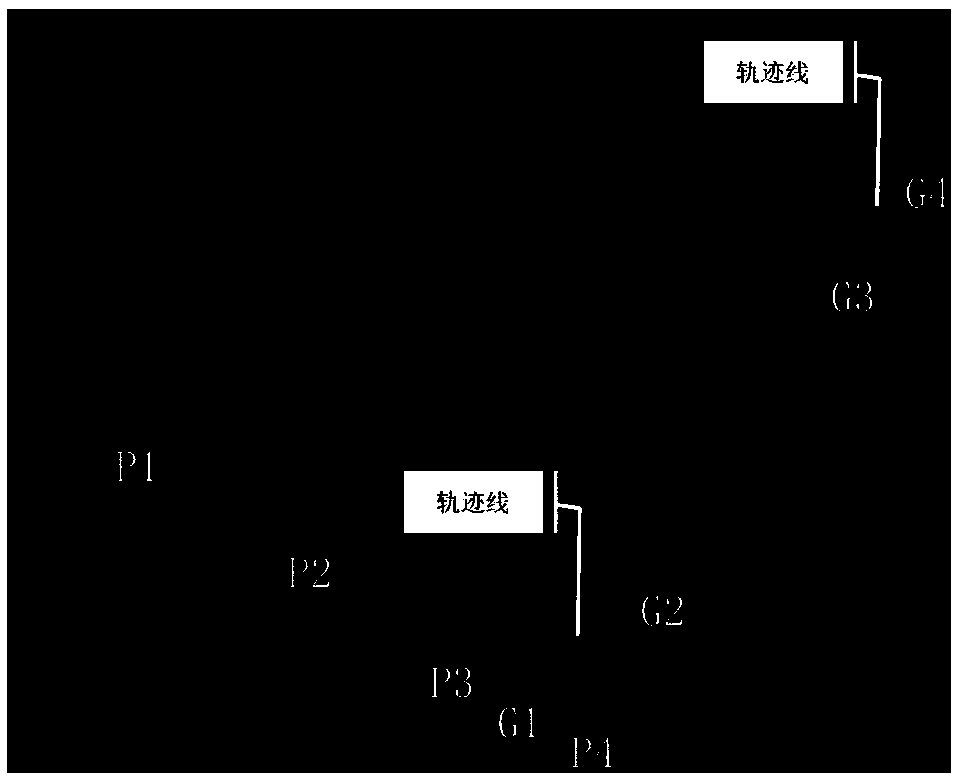
[0053] Such as Figures 1 to 7 As shown, a method for interactively extracting left and right contour lines of lane lines based on laser point cloud, which includes the following steps:

[0054] S1. On the laser point cloud operation platform, manually specify the starting point of N lane lines, N>=1, and select manual guided collection or trajectory guided collection; when selecting trajectory guidance, the source data needs to be accompanied by trajectory data matching the point cloud as Guidance point set; when manual guidance collection is selected, another guidance point along the extension direction of the lane line needs to be input;

[0055] S2. At each starting point, respectively execute S3-S6 in sequence;

[0056] S3. Find the guide point closest to the starting point, obtain the course of the guide point, move forward along the course from the starting point, and calculate the left guide line and the right guide line respectively from the vertical course to the le...


PUM


Abstract

The invention relates to an interactive extraction method of left and right lane contours based on laser point cloud, which comprises the following steps: S1, manually designating N lane line startingpoints on a laser point cloud operation platform; S2, sequentially executing S3 to S6 at each starting point; S3, divide that point cloud with the polygon; S4, filtering the divided point cloud; S5,adjusting the coordinates according to the reference reflection intensity and the standard lane linewidth pair; S6, if the number of the collected left and right contour line points of the lane line is 0, the calculation of the lane line corresponding to the current starting point is ended, and steps S3 to S6 are executed for the next starting point until the calculation of all the starting pointsis completed; otherwise, the middle point of the tail point pair of the left and right contour lines of the currently collected lane lines is taken as a new starting point, and the calculation is continued until the number of the left and right contour line points of the collected lane lines is zero, and the calculation of the corresponding lane lines of the current starting point is finished, and S3 to S6 are executed on the next starting point until the calculation of all starting points is completed.

Description

technical field [0001] The invention relates to the field of high-precision electronic maps, in particular to a method for interactively extracting left and right contour lines of lane lines based on laser point clouds. Background technique [0002] In recent years, autonomous driving technology has developed rapidly. As one of the necessary sensors for autonomous vehicles, high-precision electronic maps provide high-precision lane-level road shape information, POI information, ADAS information, topology information, etc. Among them, the shape and location information of roads and POIs can be used for high-precision positioning, and construct topological information and ADAS information. Topological information of the road network can be used for route planning, topological information of roads and POIs can be used for POI retrieval along the way, and ADAS information can be used for advanced driver assistance systems. At present, the shape and position of roads and POIs i...

Claims


Application Information

Patent Timeline
IPC IPC(8): G06T7/11G06T7/13
CPCG06T2207/10028G06T2207/30241G06T2207/30256G06T7/11G06T7/13
Inventor 惠念
Owner WUHAN ZHONGHAITING DATA TECH CO LTD
Why Eureka
Eureka Blog
Learn More