Urban land block reachability metering method
A measurement method and accessibility technology, applied in computing, data processing applications, structured data retrieval, etc., can solve problems such as lack of practical value
- Summary
- Abstract
- Description
- Claims
- Application Information
AI Technical Summary
Problems solved by technology
Method used
Image
Examples
Embodiment Construction
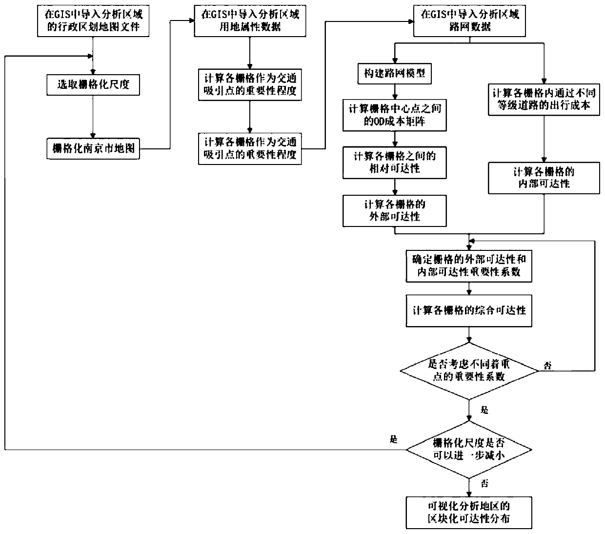
[0047] Such as figure 1 As shown, a method for measuring the accessibility of urban land blocks includes the following steps:
[0048] (1) Prepare the GIS files of various land use attribute data considered in the urban planning stage and the road network GIS files in the urban planning stage;
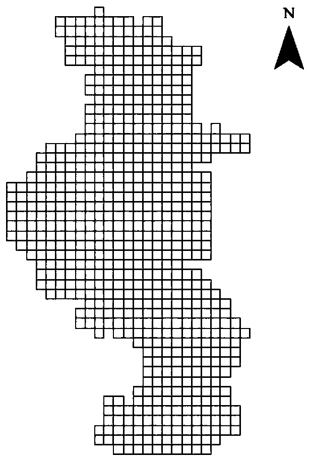
[0049] (2) Select the grid scale, conduct grid processing on the accessibility assessment area, and divide the research area into grids of equal size;
[0050] (3) According to the preliminary investigation of urban planning and the distribution of urban land use attributes at the current stage, determine the importance of the grid as a traffic attraction point;
[0051] (4) Determine the center point C of the grid i i The nearest point P on the road network consisting of minor roads and above-level roads in the research area i , calculate C i and P i The travel impedance between the C i and P i distance between i ;
[0052] (5) According to the preliminary investigation of ur...
PUM
 Abstract
Description
Claims
Application Information
 - R&D
- Intellectual Property
- Life Sciences
- Materials
- Tech Scout
- Unparalleled Data Quality
- Higher Quality Content
- 60% Fewer Hallucinations
Browse by: Latest US Patents, China's latest patents, Technical Efficacy Thesaurus, Application Domain, Technology Topic, Popular Technical Reports.
© 2025 PatSnap. All rights reserved.Legal|Privacy policy|Modern Slavery Act Transparency Statement|Sitemap|About US| Contact US: help@patsnap.com


