Cyclone center identification and radius evaluation method based on sea level air pressure data
A sea level and cyclone technology, applied in the field of grid data processing, can solve problems such as lack of meteorological data, and achieve high flexibility, high scientificity, accuracy, and easy operation
- Summary
- Abstract
- Description
- Claims
- Application Information
AI Technical Summary
Problems solved by technology
Method used
Image
Examples
Embodiment Construction
[0037] The specific implementation manners of the present invention will be further described in detail below in conjunction with the accompanying drawings and embodiments. The following examples are for the purpose of illustrating the present invention, but are not intended to limit the scope of the present invention.
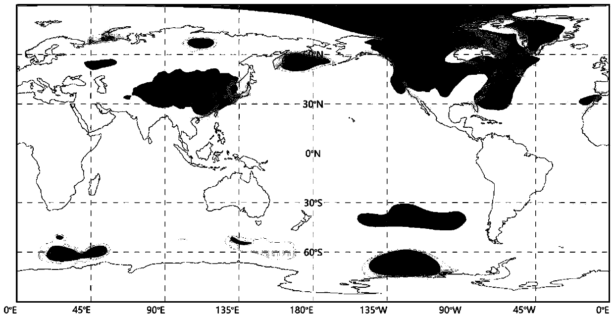
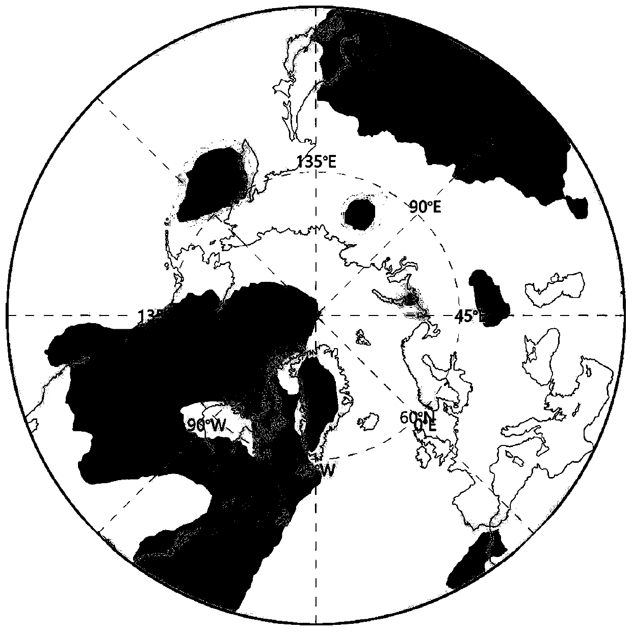
[0038] Such as figure 1 As shown, the process of this method involves a cyclone center identification and cyclone radius estimation method based on mean sea level pressure (MSLP) data: read the MSLP data of the global grid, perform projection conversion, and iteratively search for the cyclone center After the search is completed, adjacent cyclones are merged, and the size of the cyclone range is calculated for the final cyclone center, and the results are visualized. The specific implementation steps include:
[0039] Read the sea level pressure data of the global grid at a certain point in time, such as figure 2 As shown, the global grid data has a horizo...
PUM
 Abstract
Description
Claims
Application Information
 - R&D
- Intellectual Property
- Life Sciences
- Materials
- Tech Scout
- Unparalleled Data Quality
- Higher Quality Content
- 60% Fewer Hallucinations
Browse by: Latest US Patents, China's latest patents, Technical Efficacy Thesaurus, Application Domain, Technology Topic, Popular Technical Reports.
© 2025 PatSnap. All rights reserved.Legal|Privacy policy|Modern Slavery Act Transparency Statement|Sitemap|About US| Contact US: help@patsnap.com


