Multi-temporal satellite remote sensing island bank line and development and utilization information extraction method

A satellite remote sensing and multi-temporal technology, which is applied in image data processing, instruments, character and pattern recognition, etc., can solve the problems of satellite imaging image influence, difficulty in accurately extracting changing areas of islands and reefs, and large impact of remote sensing images, etc., to achieve The effect of precise extraction and fast extraction

Pending Publication Date: 2020-04-21
NATIONAL MARINE ENVIRONMENTAL MONITORING CENTRE +1
View PDF2 Cites 8 Cited by
  • Summary
  • Abstract
  • Description
  • Claims
  • Application Information

AI Technical Summary

Problems solved by technology

[0006] Although high-resolution remote sensing images have high resolution and good imaging quality, due to the limitations of remote sensing imaging technology and the influence of noise interference, and the remote sensing images of high-resolution islands and

Method used


Image

  • Multi-temporal satellite remote sensing island bank line and development and utilization information extraction method
  • Multi-temporal satellite remote sensing island bank line and development and utilization information extraction method
  • Multi-temporal satellite remote sensing island bank line and development and utilization information extraction method

Examples


Embodiment Construction

[0039] The present invention will be further described below in conjunction with the accompanying drawings.

[0040] A multi-temporal satellite remote sensing island and reef coastline and a method for extracting development and utilization information, comprising the following steps:

[0041] The first step is the classification of island types and the analysis of the imaging characteristics of remote sensing images.

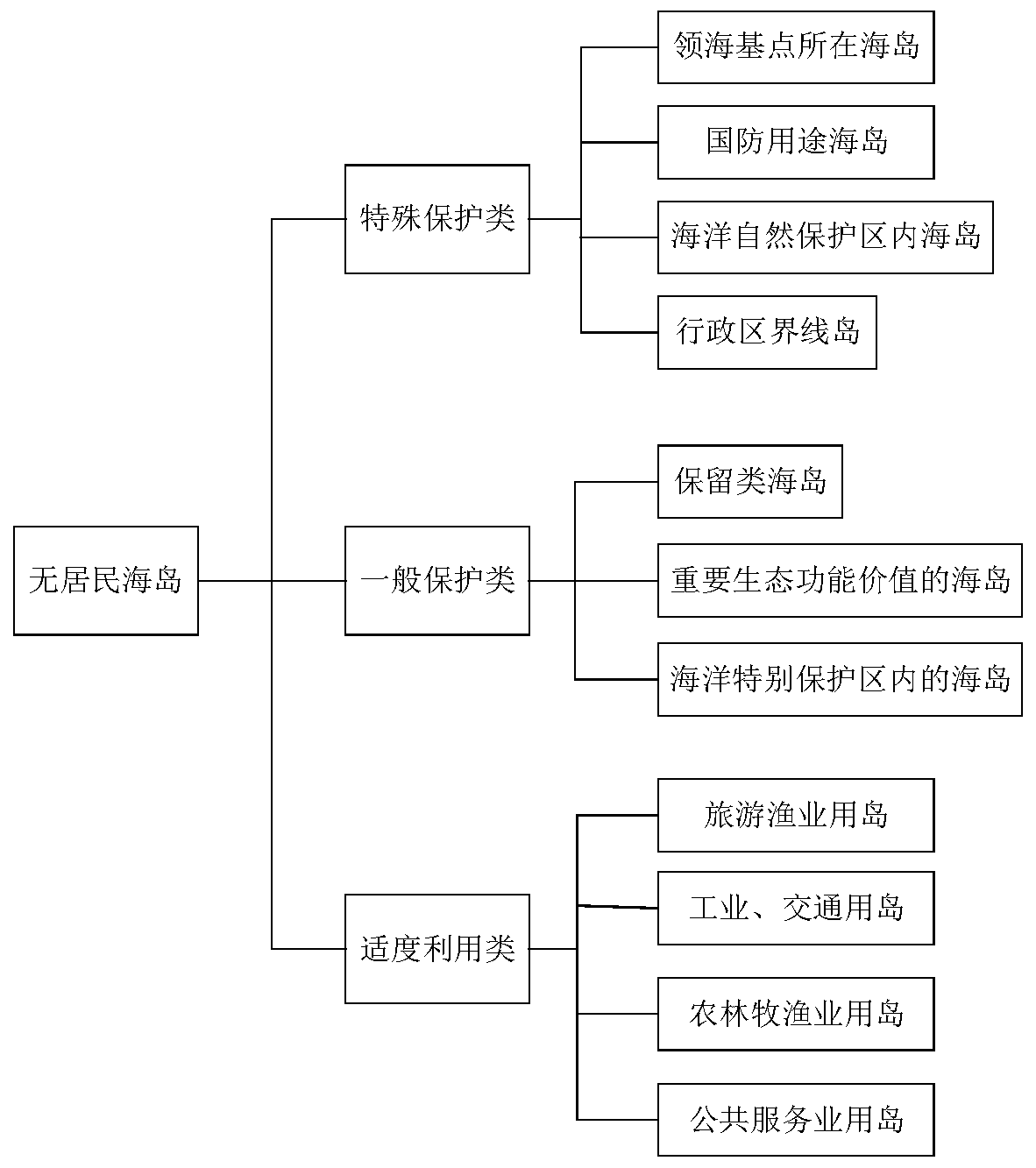
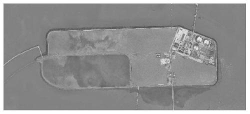
[0042] Classify different islands according to the material composition of islands, and then analyze the imaging characteristics of different types of island coastlines and development and utilization conditions, and provide a basis for the subsequent rapid extraction of island coastlines and the detection of changes in the development and utilization of islands and reefs.

[0043] In the Chinese national standard "Marine Terminology and Marine Geology GB / T18190-2000", the geology of islands is defined as: small pieces of land scattered in the ocean with an are...


PUM


Abstract

The invention discloses a multi-temporal satellite remote sensing island bank line and development and utilization information extraction method, and belongs to the crossing field of ocean island satellite remote sensing and computer graphic processing. The method comprises the following steps: firstly, analyzing imaging characteristics of different types of island bank lines and development and utilization conditions; secondly, adopting an image downsampling and upsampling processing technology to realize rapid extraction of a large-breadth satellite remote sensing image, and combining with adistance regularization geometric active contour model to carry out accurate step-by-step approximation to obtain an island bank line; then, a adopting a Grabcut algorithm to segment the ocean background and the island reef foreground, and utilizing color information and boundary information in the image to obtain a good segmentation result; and finally, orthogonally projecting the data to a linear subspace formed by principal components by adopting a principal component analysis method, performing feature extraction and data compression through linear transformation, and performing clustering according to the extracted features to obtain a final change detection result. The method can achieve quick and effective extraction of the island bank line and development and utilization of the high-resolution satellite remote sensing image.

Description

technical field [0001] The invention belongs to the intersection field of satellite remote sensing of marine islands and reefs and computer image processing, and relates to a multi-temporal satellite remote sensing of islands and reefs coastlines and a method for extracting development and utilization information. Background technique [0002] In the field of remote sensing, change detection is defined as the process of identifying changes in the same area in different periods. Land use and land cover change information is widely used in urban change, forest cover, sea area use change detection, disaster monitoring, vegetation detection and so on. Change detection technology has been widely used to extract land surface change information from remote sensing images covering the same area. With the launch of the high-resolution visible light satellite GF1 / 2 and the first civilian SAR satellite GF-3, multi-type satellite data has been greatly developed, and the spatial resolut...

Claims


Application Information

Patent Timeline
IPC IPC(8): G06K9/00G06K9/46G06K9/62G06T7/13G06T7/194G06T7/90
CPCG06T7/194G06T7/13G06T7/90G06V20/13G06V10/44G06F18/23213
Inventor 范剑超齐玥王新新孟庆辉康婧王洪玉周晓君
Owner NATIONAL MARINE ENVIRONMENTAL MONITORING CENTRE
Why Eureka
Try Eureka