

Landslide terrain detection method based on deep neural network
A deep neural network and detection method technology, applied in the field of geological disaster prediction, can solve time-consuming and labor-intensive problems, and achieve the effect of improving imperfect defects and perfect learning effect
- Summary
- Abstract
- Description
- Claims
- Application Information
AI Technical Summary
Problems solved by technology
Method used
Image

Examples
Embodiment Construction
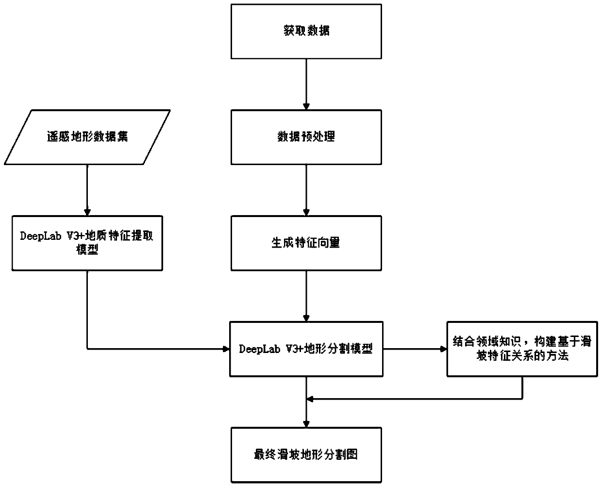
[0040] The specific implementation scheme of a landslide terrain detection method based on a deep neural network involved in the present invention will be described in detail below in conjunction with the accompanying drawings and implementation.
[0041]
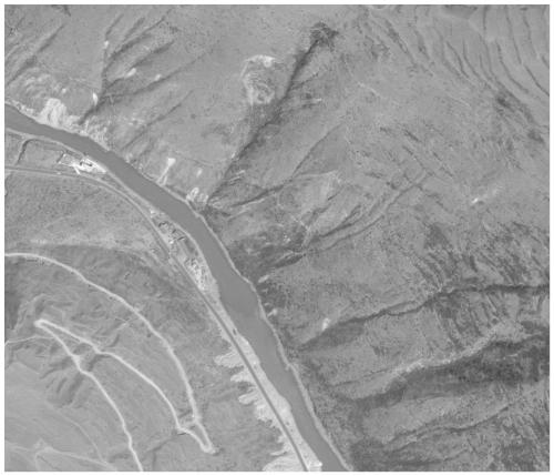
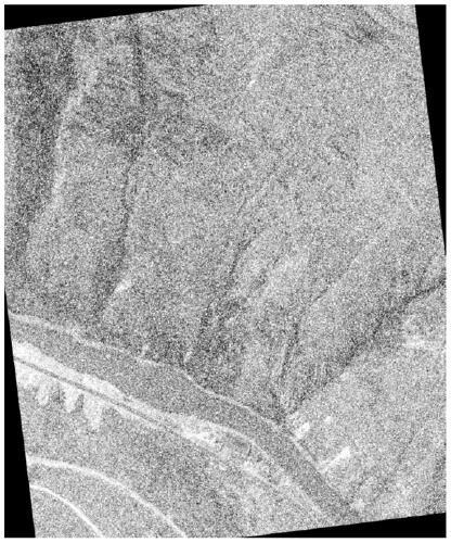
[0042] In this embodiment, the landslide terrain detection method based on the deep neural network is described by taking the landslide remote sensing image and the digital elevation model as examples.
[0043] Such as figure 1 As shown, a kind of landslide terrain detection method based on deep neural network provided by this embodiment is specifically implemented according to the following steps:
[0044] Step 1, get data:
[0045] Using the open source satellite image download platform, set a unified tile level, download landslide remote sensing images and digital elevation models; use the mask labeling function on the platform to mark the specific range of the landslide, download and obtain the latitude and longitude...
PUM
 Abstract
Description
Claims
Application Information