Land classification method based on high-resolution remote sensing image
A technology of remote sensing images and classification methods, applied in the field of deep learning, can solve the problems of slowing down network convergence and decreasing accuracy, and achieve the effect of improving accuracy, improving accuracy, and improving scientificity.
- Summary
- Abstract
- Description
- Claims
- Application Information
AI Technical Summary
Problems solved by technology
Method used
Image
Examples
Embodiment Construction
[0026] The present invention will be described in further detail below through specific examples. The following examples are only descriptive, not restrictive, and cannot limit the protection scope of the present invention.
[0027] A land classification method based on high-resolution remote sensing images, characterized in that: the steps of the method are:
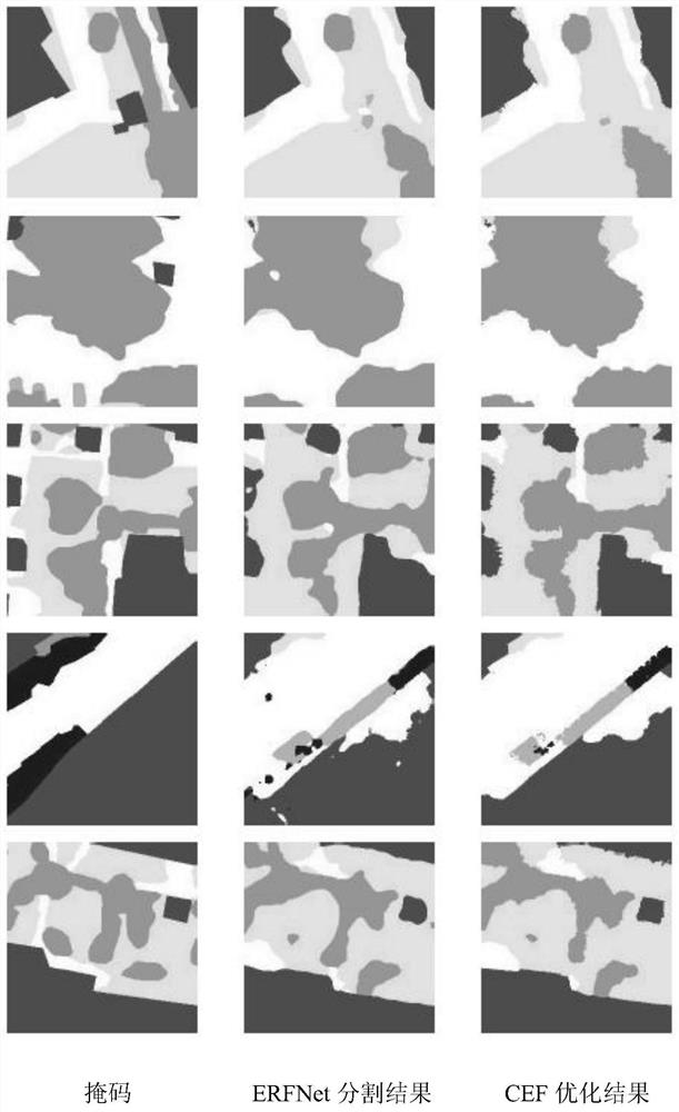
[0028] S0101: For the input data, cut a small image of (256, 256, 3) with 128 pixels as the step size slice, and cut the mask into a small mask of (256, 256, 1), and finally obtain the image—mask There are 8401 pairs of code pairs. After the cutting is completed, the small pictures and small masks are stored in the form of a dictionary. The key value corresponding to the picture is "images", and the key value corresponding to the mask is "masks"; the test set is taken before 1320 pairs of image-mask pairs, 1800 pairs of image-mask pairs of the data set for the verification set, and 5281 pairs of image-mask pairs for the...
PUM
 Abstract
Description
Claims
Application Information
 - R&D
- Intellectual Property
- Life Sciences
- Materials
- Tech Scout
- Unparalleled Data Quality
- Higher Quality Content
- 60% Fewer Hallucinations
Browse by: Latest US Patents, China's latest patents, Technical Efficacy Thesaurus, Application Domain, Technology Topic, Popular Technical Reports.
© 2025 PatSnap. All rights reserved.Legal|Privacy policy|Modern Slavery Act Transparency Statement|Sitemap|About US| Contact US: help@patsnap.com


