Seabed sand wave feature identification method
A feature recognition and image recognition technology, applied in character and pattern recognition, instruments, computer components, etc., can solve problems such as sand wave height and wavelength difference
- Summary
- Abstract
- Description
- Claims
- Application Information
AI Technical Summary
Problems solved by technology
Method used
Image
Examples
Embodiment 1
[0035] A large number of sand wave landforms are developed in the northern region of the South China Sea. The present invention will be further described below by taking this region as an example and referring to the accompanying drawings. The following examples are only used to illustrate the technical solution of the present invention more clearly, but not to limit the protection scope of the present invention.
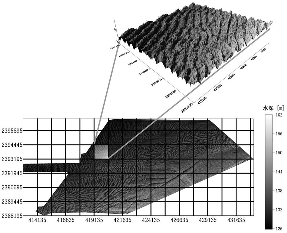
[0036] Step 1. There are a large number of seabed sand waves in the northern part of the South China Sea. The bathymetry map of a certain sand wave area in the South China Sea is obtained through actual bathymetry, as shown in figure 1 shown. In order to analyze the sand wave characteristics of this area, the area is divided into small areas with 7 rows and 17 columns, and the sand wave characteristics are analyzed area by area. Wave form see figure 1 upper right corner.
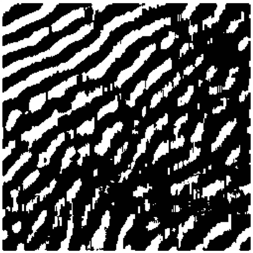
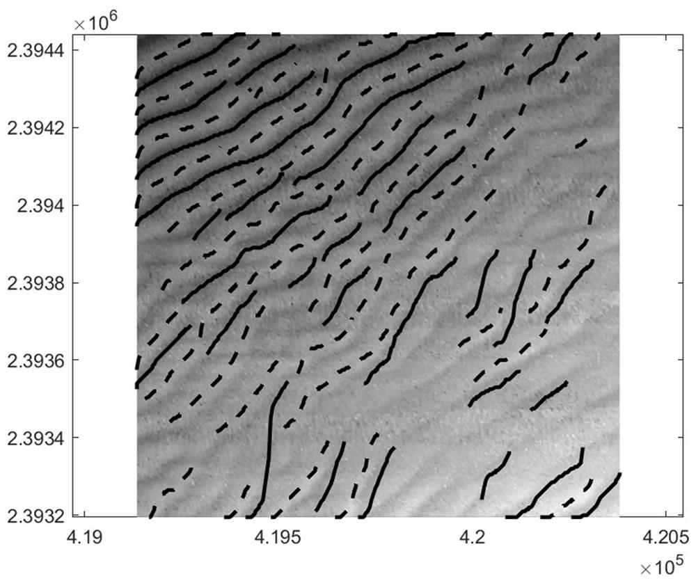
[0037] Step 2. Taking the selected water depth data in row 5 and column 6 (this position is...
PUM
 Abstract
Description
Claims
Application Information
 - R&D
- Intellectual Property
- Life Sciences
- Materials
- Tech Scout
- Unparalleled Data Quality
- Higher Quality Content
- 60% Fewer Hallucinations
Browse by: Latest US Patents, China's latest patents, Technical Efficacy Thesaurus, Application Domain, Technology Topic, Popular Technical Reports.
© 2025 PatSnap. All rights reserved.Legal|Privacy policy|Modern Slavery Act Transparency Statement|Sitemap|About US| Contact US: help@patsnap.com


