

Visual Analysis Method of Urban Regional Relationship Based on Trajectory Distribution Representation
A technology of urban area and distribution representation, applied in data processing applications, instruments, calculations, etc., can solve the problems that the interaction between position and flow behavior has not been effectively considered and analyzed, and the time attribute is missing and ignored, so as to ensure applicability and effect of effectiveness
- Summary
- Abstract
- Description
- Claims
- Application Information
AI Technical Summary
Problems solved by technology
Method used
Image

Examples
Embodiment
[0144] Such as Figure 16 As shown, a visual analysis method of urban regional relationship based on trajectory distribution representation is proposed. Based on the taxi trajectory data collected by location-aware devices, explore the movement patterns of people in the city and discover the hidden laws. This application extracts trajectory feature points to divide regions, models the trajectory as movement between regions, researches the trajectory distribution representation model method based on word embedding technology, and designs an interactive visual analysis system for regional relations to discover and analyze the rules of crowd movement patterns Provide effective means. The specific research content is as follows:
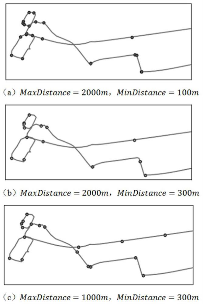
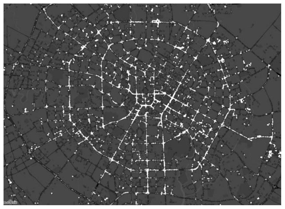
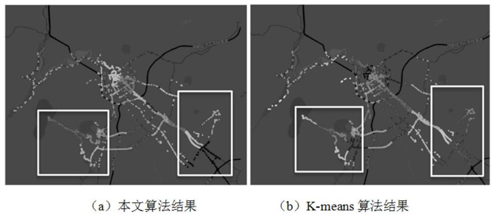
[0145] (1) Study the urban area division method based on trajectory data. Considering the huge scale and complex structure of trajectory data, this application conducts spatial generalization and aggregation of trajectory data, divides urban geographi...
PUM
 Abstract
Description
Claims
Application Information