

Crop region identification method and device, computer equipment and storage medium
A technology for region identification and crops, applied in the field of data processing, can solve the problems of high cost, low efficiency, relying on manual intervention, etc., and achieve a wide range of effects.
- Summary
- Abstract
- Description
- Claims
- Application Information
AI Technical Summary
Problems solved by technology
Method used
Image

Examples
Embodiment 1
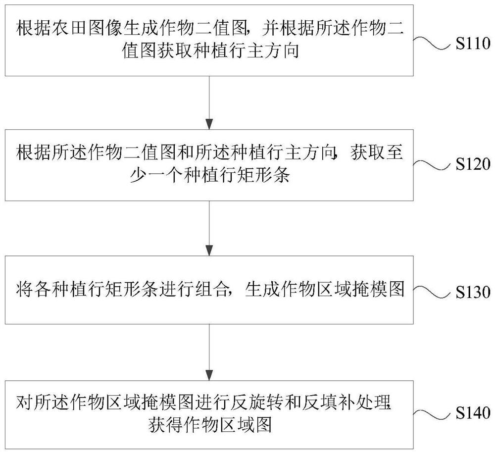
[0075] Figure 1a It is a flow chart of a crop area identification method provided by Embodiment 1 of the present invention. This embodiment is applicable to the situation where crop areas in farmland images need to be identified. The method can be executed by a crop area identification device, which can be composed of implemented by software and / or hardware, and generally integrated in a server.
[0076] Such as Figure 1a As shown, the technical solution of the embodiment of the present invention specifically includes the following steps:
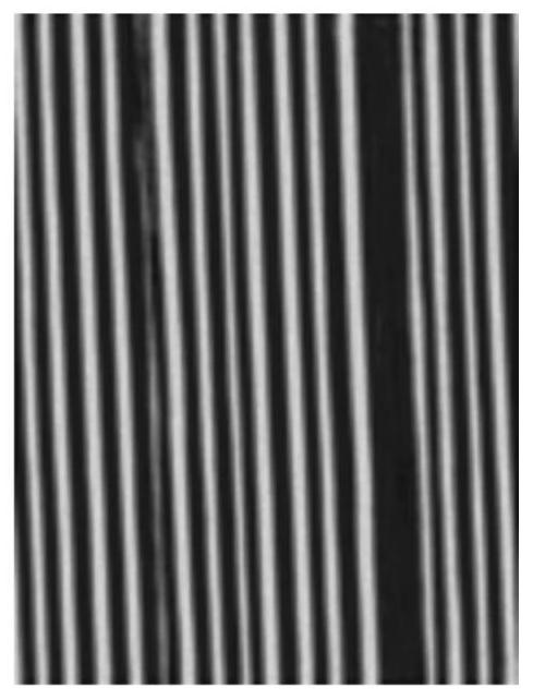
[0077] S110. Generate a crop binary image according to the farmland image, and obtain the main direction of the planting row according to the crop binary image.
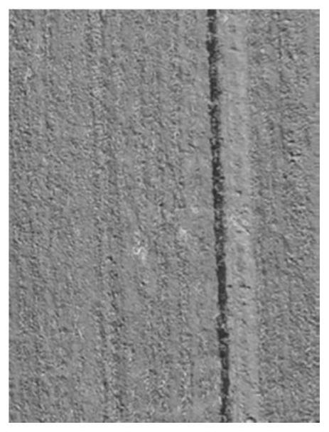
[0078] Wherein, the farmland image may be an image taken when a drone patrols the farmland. In a specific example, Figure 1b Provides a schematic representation of a farmland image such as Figure 1b As shown in , the farmland image is an overhead image of the farmland.
[...
Embodiment 2
[0107] Figure 2a It is a flow chart of a crop area identification method provided by Embodiment 2 of the present invention. On the basis of the above embodiments, the embodiment of the present invention includes the process of generating a crop binary image based on a farmland image, and obtaining planting rows based on a crop binary image. The process of the main direction, the process of obtaining the rectangular bar of the planting row and the process of obtaining the crop area map according to the rectangular bar of the planting row are further specified.
[0108] Correspondingly, such as Figure 2a As shown, the technical solution of the embodiment of the present invention specifically includes the following steps:
[0109] S210. Generate a vegetation binary map according to the vegetation points included in the farmland image.
[0110] S220. Obtain at least one vegetation connected domain in the vegetation binary image, and filter and retain crop connected domains in ...
Embodiment 3
[0133] Figure 3a It is a flow chart of a method for identifying a crop area provided by Embodiment 3 of the present invention. This embodiment is applicable to the situation where the crop area in the farmland image to be identified is identified by training a model. The method can be implemented by a crop area identification device To execute, the device may be implemented by software and / or hardware, and generally integrated into a server.
[0134] Such as Figure 3a As shown, the technical solution of the embodiment of the present invention specifically includes the following steps:
[0135] S310. Acquire a plurality of farmland images to be marked.
[0136] Wherein, the farmland image to be marked may be a farmland image taken when a drone patrols the farmland, and the purpose is to mark it as a sample for training a crop area recognition model.
[0137] S320. Use the crop area recognition method described in any one of the embodiments of the present invention to ident...
PUM
 Abstract
Description
Claims
Application Information