Unmanned aerial vehicle flight safety control method based on geofence

A control method and flight safety technology, applied in the control/adjustment system, non-electric variable control, three-dimensional position/channel control and other directions, which can solve the problem of loss, unmanned aerial vehicle out of control, and fishing enthusiasts who can't feel at ease to experience fishing unmanned. Machine fun and other issues, to achieve the effect of convenient operation and good experience

Pending Publication Date: 2022-05-03
宁波派丽肯智能渔具有限公司
View PDF12 Cites 0 Cited by
  • Summary
  • Abstract
  • Description
  • Claims
  • Application Information

AI Technical Summary

Problems solved by technology

[0002] At present, UAVs are widely used in various fields, but due to the rapid development of UAVs, most operators have not received professional training; it is common for operators to set the task distance too far and operate UAVs to fly too far. , causing the UAV to go out of signal coverage, causing risks such as loss of control and loss of the UAV
As a result, fishing enthusiasts cannot safely experience the fun brought by fishing drones

Method used


Image

  • Unmanned aerial vehicle flight safety control method based on geofence

Examples


Embodiment Construction

[0019] The present invention will be described in further detail below in conjunction with the accompanying drawings.

[0020] During the specific implementation of the present invention, a method for controlling the flight safety of unmanned aerial vehicles based on geographic fences includes the following two control methods:

[0021] Method A: Set the mission point to carry out the flight mission before the UAV takes off, so that it will automatically take off and return to the take-off position after completing the flight mission;

[0022] Mode B: Real-time control of UAV flight through the visual control terminal.

[0023] As preferably, the detailed steps of the flight safety control method are as follows:

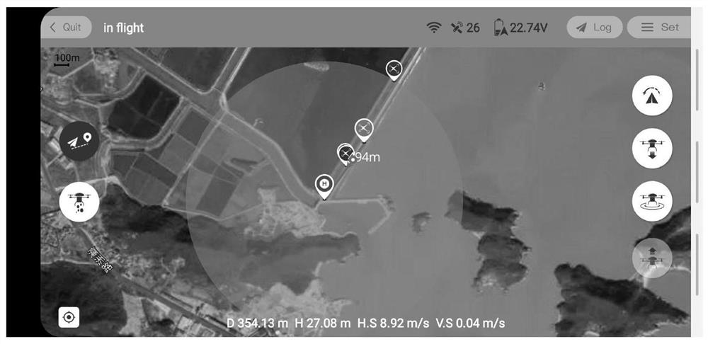
[0024] ①After the UAV is turned on, establish a communication link with the visual control terminal through the signal transmission system, and send information such as the longitude, latitude, and height of the current location of the UAV to the visual control term...


PUM


Abstract

The invention discloses an unmanned aerial vehicle flight safety control method based on geo-fences, and the method comprises the following two control methods: mode A: a task point is set before an unmanned aerial vehicle takes off to carry out a flight task, and the unmanned aerial vehicle automatically takes off to complete the flight task and then returns to a take-off position; and B, controlling the flight of the unmanned aerial vehicle in real time through the visual control terminal. Compared with the prior art, the method has the advantages that the situation that the unmanned aerial vehicle is damaged or out of control and the like due to various over-limit flight tasks in the process of using the unmanned aerial vehicle by a user is effectively solved; and various potential safety hazards and property loss are avoided. And meanwhile, the striking visual geofence design is more convenient for the user to operate, and better experience is brought to the user.

Description

technical field [0001] The invention relates to the field of unmanned aerial vehicle control, in particular to a method for controlling unmanned aerial vehicle flight safety based on geographic fences. Background technique [0002] At present, UAVs are widely used in various fields, but due to the rapid development of UAVs, most operators have not received professional training; it is common for operators to set the task distance too far and operate UAVs to fly too far. , As a result, the UAV is out of signal coverage, causing risks such as loss of control and loss of the UAV. As a result, fishing enthusiasts cannot safely experience the fun brought by fishing drones. Contents of the invention [0003] The technical problem to be solved by the present invention is to provide a geofence-based UAV flight safety control method for the above problems. [0004] In order to solve the above-mentioned technical problems, the technical solution provided by the present invention i...

Claims


Application Information

Patent Timeline
Patent Type & Authority Applications(China)
IPC IPC(8): G05D1/10
CPCG05D1/106
Inventor 干滔
Owner 宁波派丽肯智能渔具有限公司
Why Eureka
Try Eureka