
Method for processing varying density terrain correction by heavy prospecting data

A technology for terrain correction and gravity exploration, applied in the measurement of gravitational field, geophysical measurement, measurement device, etc.

Active Publication Date: 2006-11-29
BGP OF CHINA NAT GASOLINEEUM CORP
View PDF0 Cites 7 Cited by
  • Summary
  • Abstract
  • Description
  • Claims
  • Application Information

AI Technical Summary

Problems solved by technology

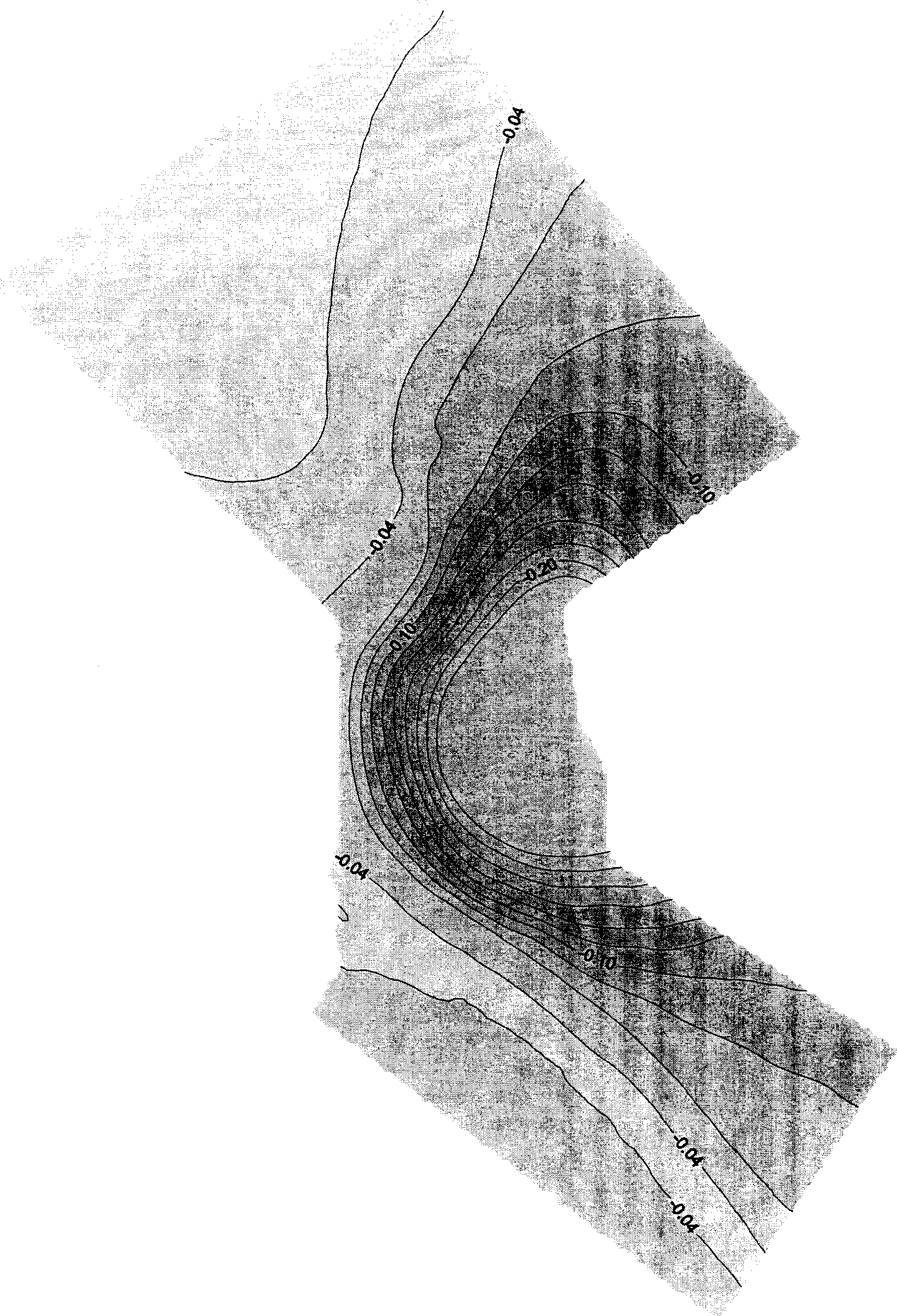
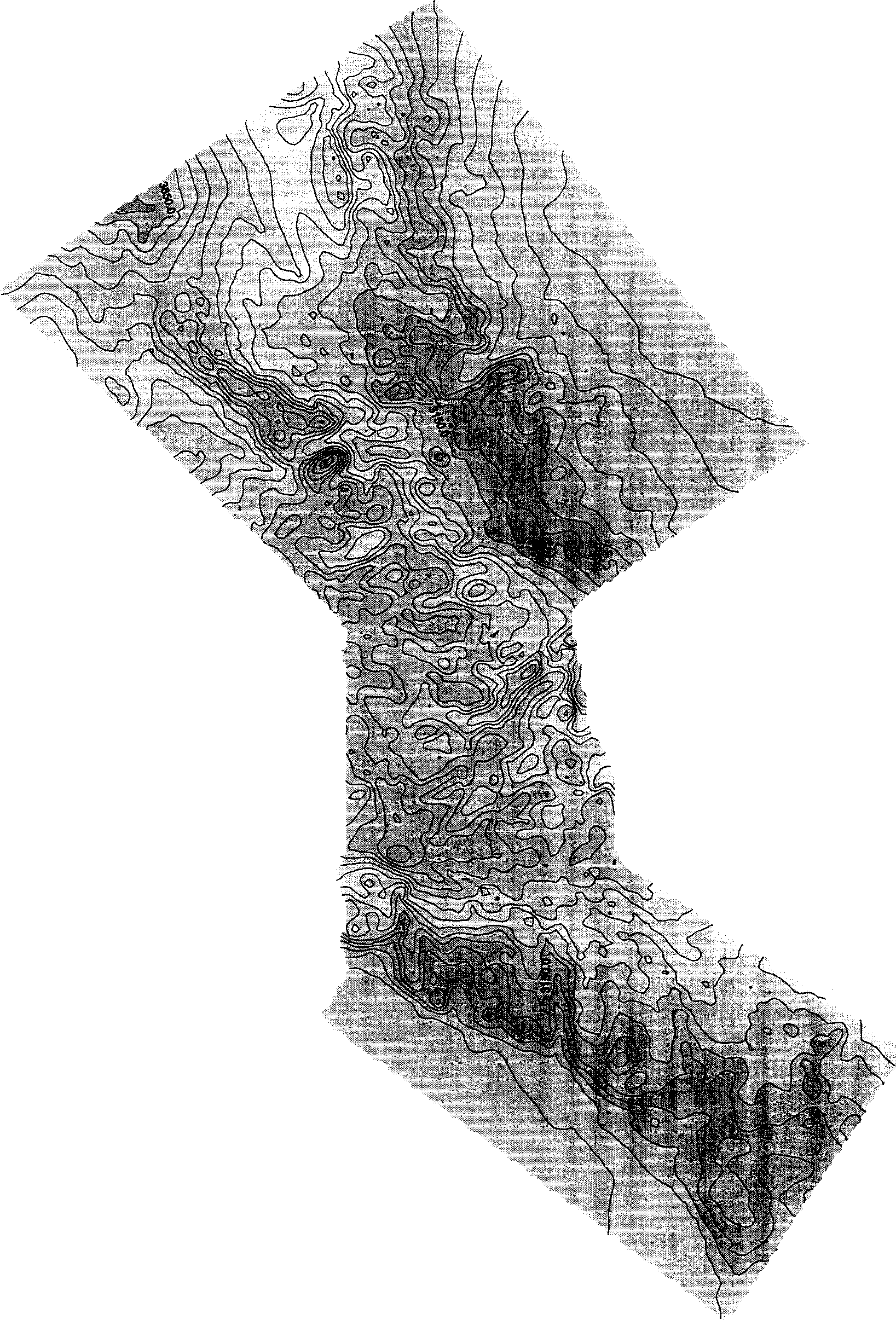
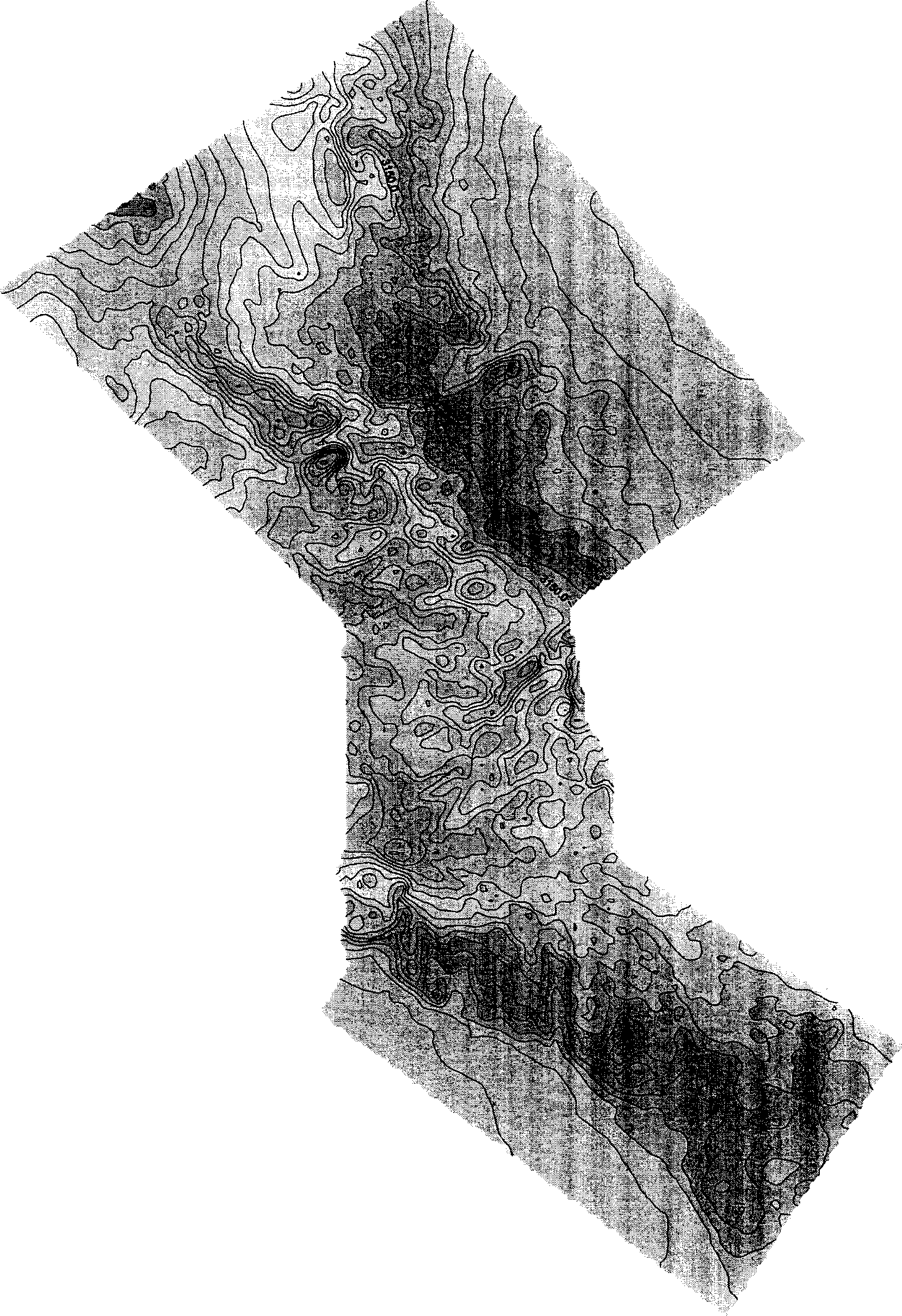
When the false anomaly reaches a certain level, it will appear as the same-direction distortion of the isovalue line on the Bouguer gravity anomaly map ( Image 6 ), trap anomalies will be formed after the vertical second derivative of gravity is processed ( Figure 8 ), mixed with the trap anomaly formed by the underground local structure on the gravity vertical second derivative map, it is difficult to distinguish the true from the false, leading to wrong geological interpretation

Method used


Image

  • Method for processing varying density terrain correction by heavy prospecting data
  • Method for processing varying density terrain correction by heavy prospecting data
  • Method for processing varying density terrain correction by heavy prospecting data

Examples


Embodiment Construction

[0058] The specific embodiments of the present invention will be described below in conjunction with the accompanying drawings.

[0059] The content of the present invention is a variable density terrain correction technology in gravity exploration data processing, referred to as "conventional correction + surface supplementary correction" variable density correction method, because its basic idea is to perform three-dimensional surface correction on the basis of constant density terrain correction The variable density supplementary terrain correction means that the constant density terrain correction is performed with the maximum surface density, and then the surface variable density supplementary terrain correction method is used to eliminate the influence caused by over-correction.

[0060] The model adopted in surface variable density supplementary terrain correction is a variable density model that considers changes along the surface and perpendicular to the surface at the...


PUM

PropertyMeasurementUnit
Densityaaaaaaaaaa

Abstract

The invention is a gravitational exploration data processing variable- speed terrain correction method, collecting surface gravity field strength in target region by route gravitational exploration methods, and making constant density terrain correction at the maximum surface layer density, and then adopting a surface layer variable density supplement terrain correction method to eliminate the influences caused by over correction, where the adopted model is a variable density module that simultaneously considers variations along the surface and in the vertical direction of the surface. In a region with larger topographic relief, on the condition that false abnormity still negatively related with terrain after bouguer gravity processed by constant density terrain correction, it can make trend of gravity abnormity consistent with geological trend in the region by variable density supplement terrain correction, reliable, easy to apply and effective.

Description

technical field [0001] The invention relates to a geophysical gravity exploration data processing technology in petroleum geological exploration and development, in particular to a gravity exploration data processing variable density terrain correction method. technical background [0002] The gravitational field of the earth is called the gravitational field, and the strength of the gravitational field on the earth's surface has a slight difference due to the change of the crustal density, which is called the gravity anomaly. The geophysical method of measuring the gravity field intensity on the earth's surface, calculating the gravity anomaly, and recalculating the crustal density distribution according to the gravity anomaly, and then detecting underground minerals and geological structures is called the gravity exploration method, or gravity exploration for short. [0003] Gravity exploration includes three links: observation, processing and inference and interpretation ...

Claims


Application Information

Patent Timeline
IPC IPC(8): G01V7/06G01V7/02
Inventor 柴玉璞刘云祥冀连胜
Owner BGP OF CHINA NAT GASOLINEEUM CORP
Learn More