Seismic imaging with natural green's functions derived from vsp data
a technology of seismic imaging and natural green function, applied in seismicology, instruments, measurement devices, etc., can solve problems such as limiting effectiveness, difficult to obtain good images near complex structures, and imperfect or lacking information
- Summary
- Abstract
- Description
- Claims
- Application Information
AI Technical Summary
Benefits of technology
Problems solved by technology
Method used
Image
Examples
Embodiment Construction
[0025]While this invention is susceptible of being embodied in many different forms, there is shown in the drawings, and will herein be described, some specific embodiments of the instant invention. It should be understood, however, that the present disclosure is to be considered an exemplification of the principles of the invention and is not intended to limit the invention to the specific embodiments or algorithms so described.
GENERAL ENVIRONMENT OF THE INVENTION
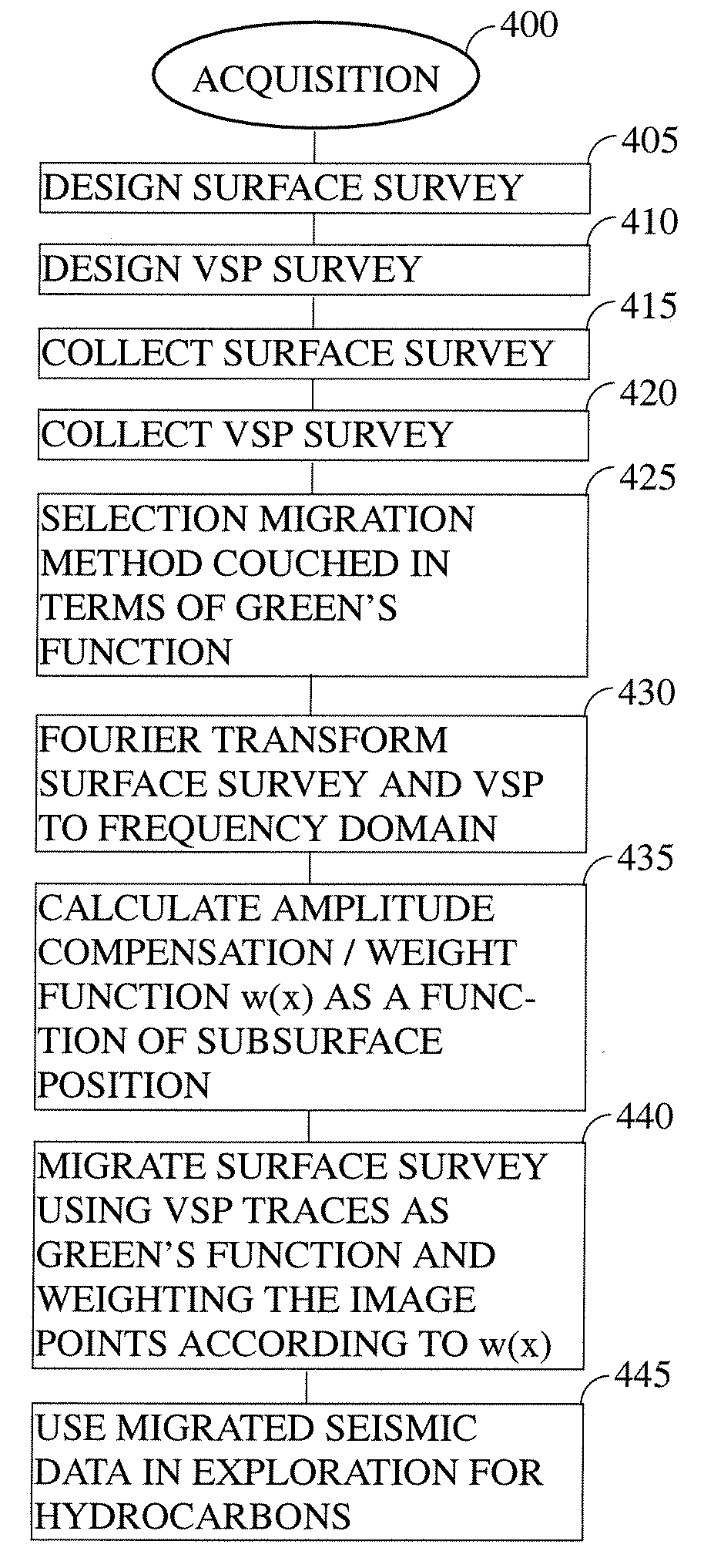
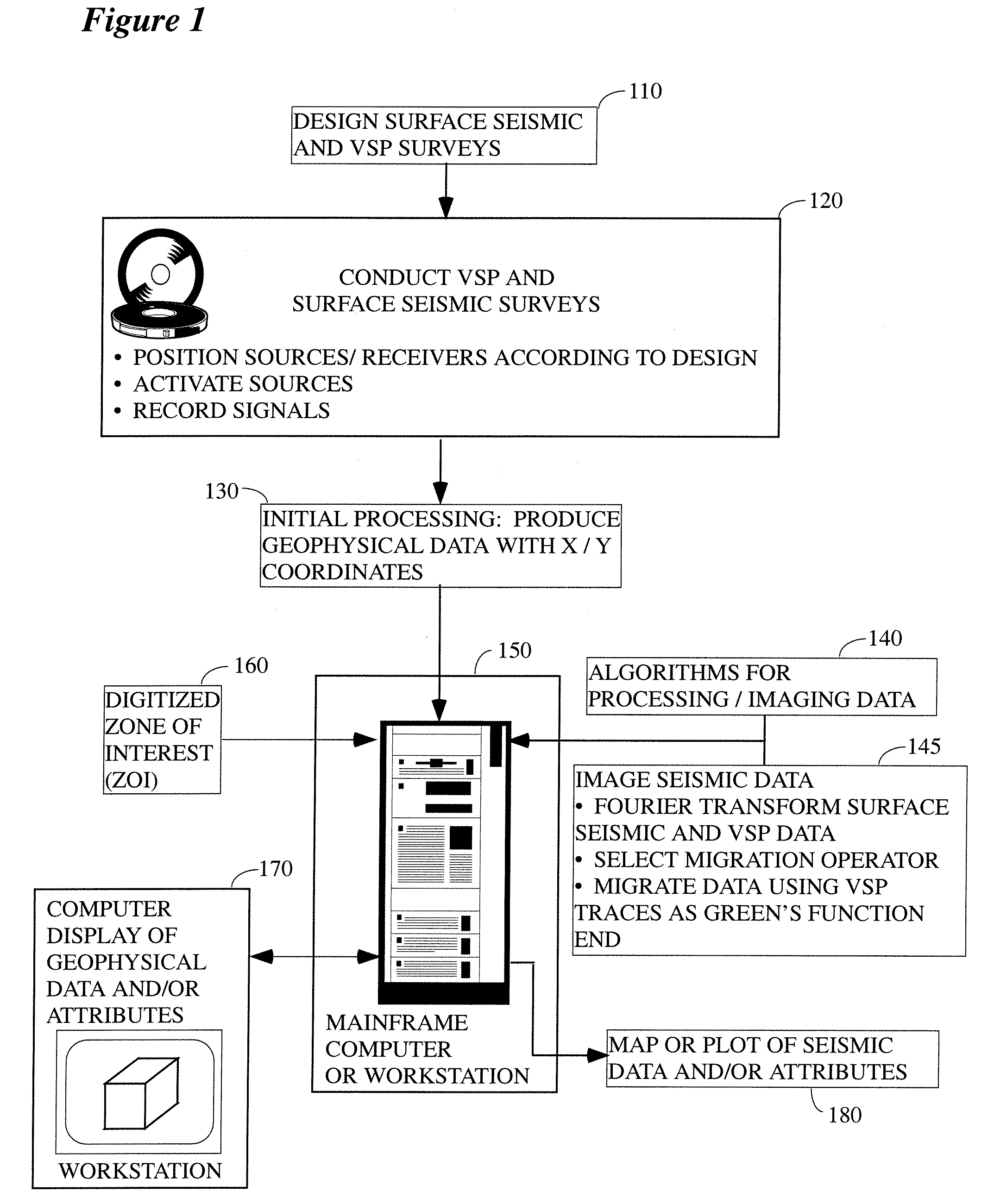
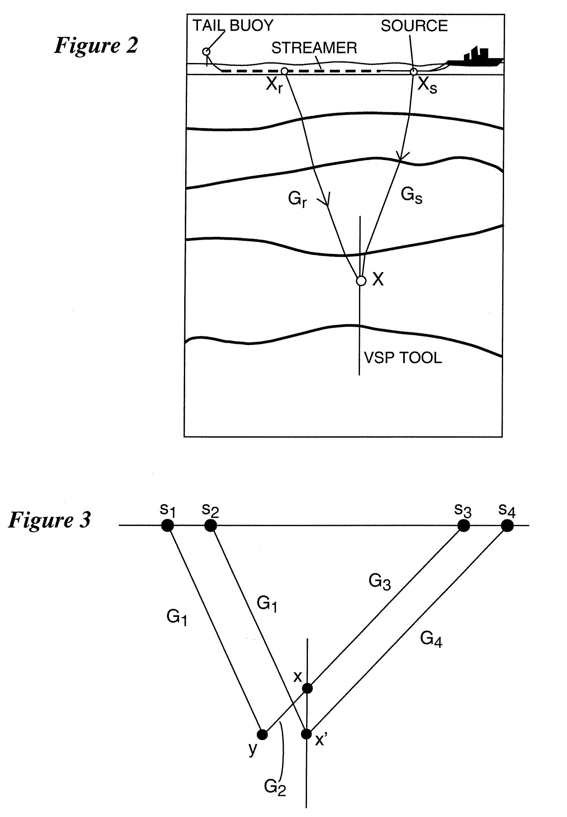
[0026]FIG. 1 illustrates the general environment in which the instant invention would typically be used. As a first step, a seismic survey will be designed (step 110), wherein the survey geometry, sample rate, number of sources / receivers, etc. would typically be selected in order to image a preferred subsurface target. Among the many parameters that might be considered in formulating the survey design are:[0027]the surface area to be covered by the survey;[0028]whether the survey will be conducted on land, offshore, or som...
PUM
 Abstract
Description
Claims
Application Information
 - R&D
- Intellectual Property
- Life Sciences
- Materials
- Tech Scout
- Unparalleled Data Quality
- Higher Quality Content
- 60% Fewer Hallucinations
Browse by: Latest US Patents, China's latest patents, Technical Efficacy Thesaurus, Application Domain, Technology Topic, Popular Technical Reports.
© 2025 PatSnap. All rights reserved.Legal|Privacy policy|Modern Slavery Act Transparency Statement|Sitemap|About US| Contact US: help@patsnap.com


