Rapid Inversion of Electromagnetic Reconnaisance Survey Data

a reconnaisance survey and electromagnetic technology, applied in seismology for waterlogging, detection using electromagnetic waves, instruments, etc., can solve the problems of ineffective data recording at the nearest offset, inability to accurately record data, and high computational cost of inversion of csem data for the subsurface conductivity

US20090306900A1Active Publication Date: 2009-12-10JOHN MEZZALINGUA ASSOC INC
99 Cites 36 Cited by

Patent Information

Authority / Receiving Office
US · United States
Patent Type
Applications(United States)
Current Assignee / Owner
Publication Date
2009-12-10

Smart Images

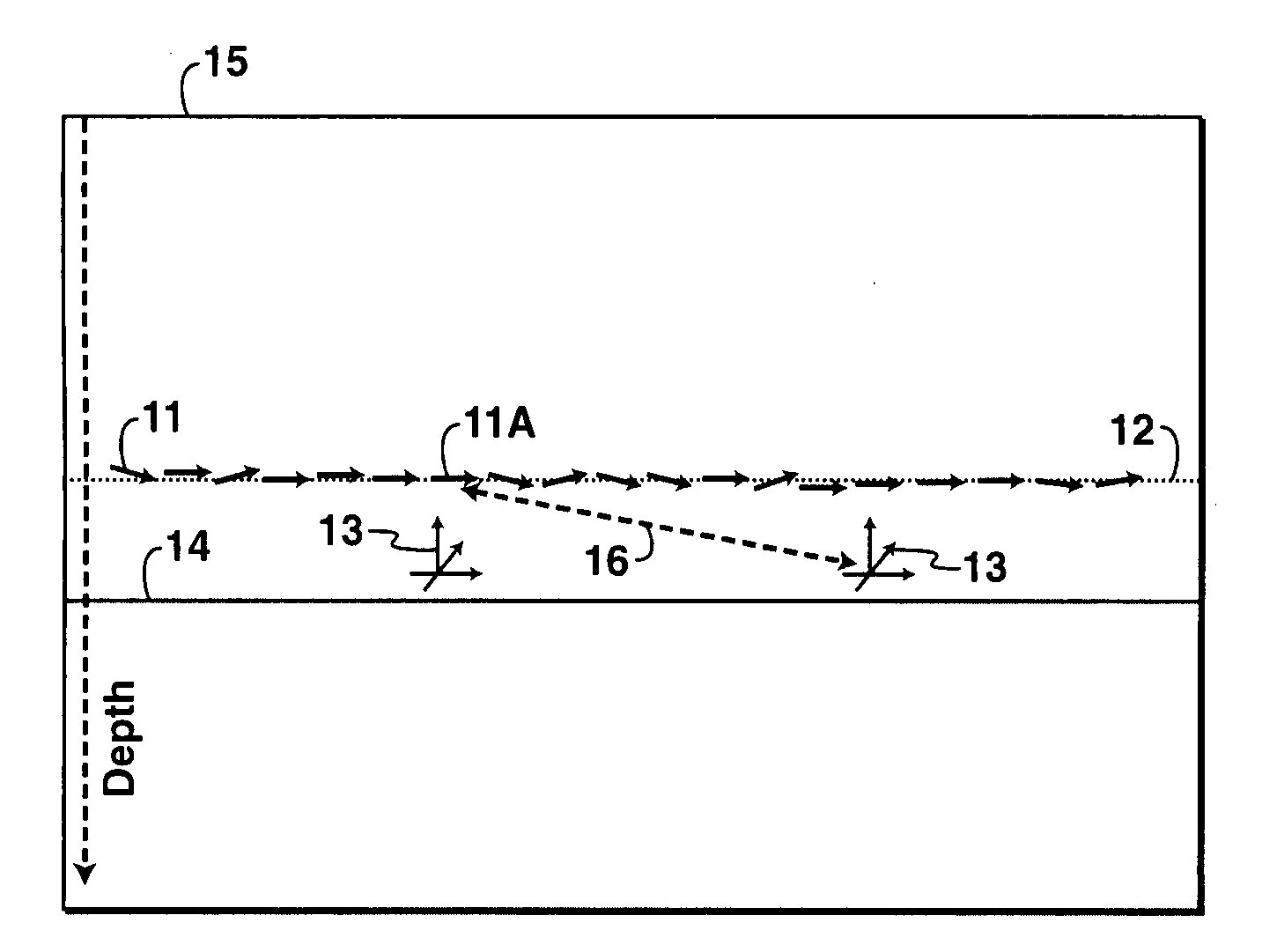
  • Figure 1
    Figure 1
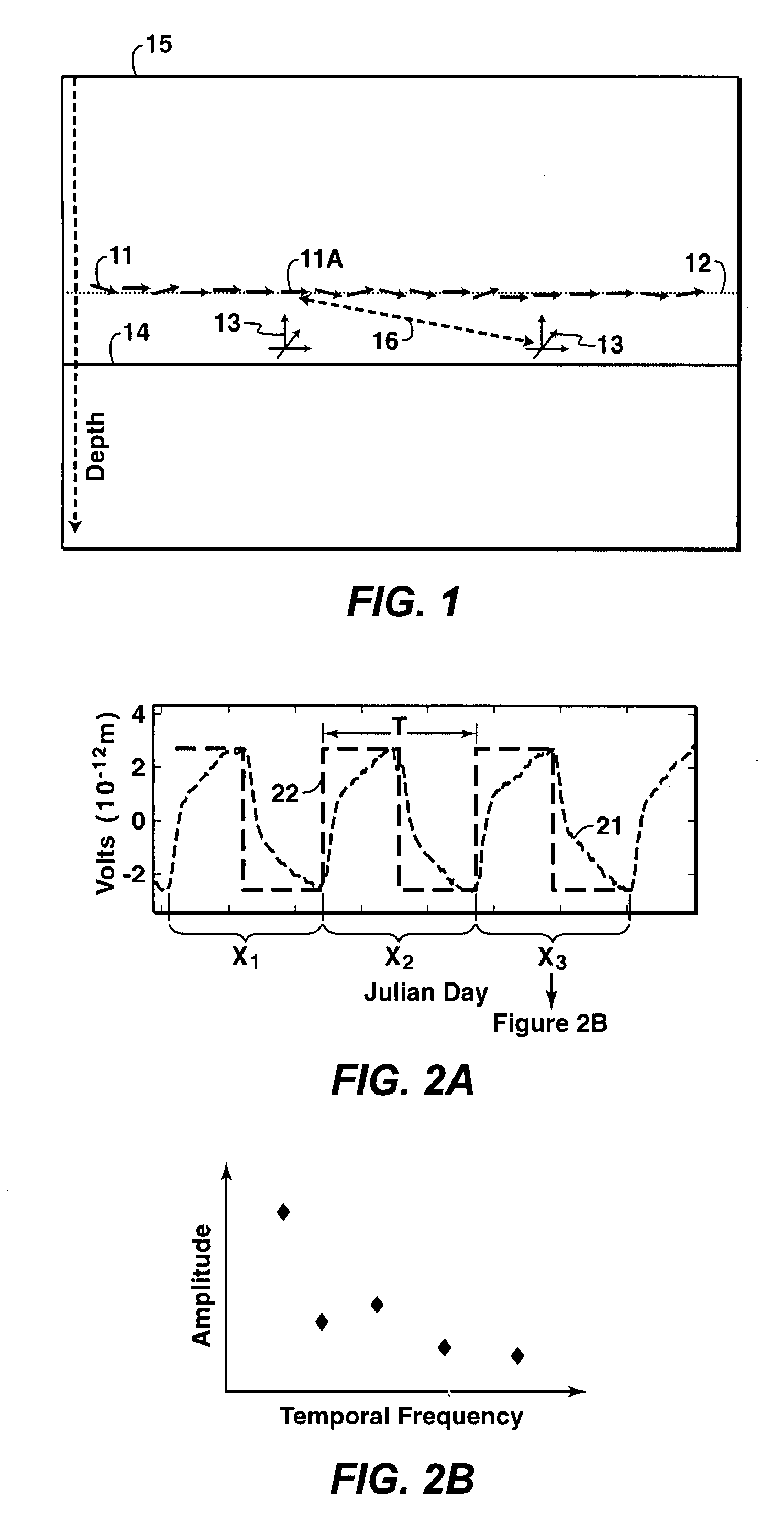
  • Figure 2
    Figure 2
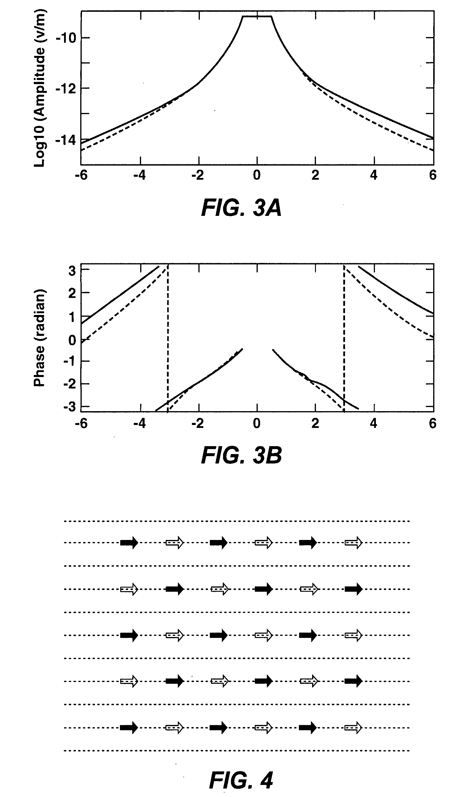
  • Figure 3
    Figure 3
Patent Text Reader

Abstract

Method for rapid inversion of data from a controlled-source electromagnetic survey of a subterranean region. Selected (51) common-receiver or common-source gathers of the data are reformed into composite gathers (52) by summing their data. Each composite gather is forward modeled (in the inversion process) with multiple active source locations (53). Computer time is reduced in proportion to the ratio of the total number of composite gathers to the total number of original common-receiver or common-source gathers. The data may be phase encoded to prevent data cancellation. Methods for mitigating loss of far offset information by data overlap in the summing process are disclosed.
Need to check novelty before this filing date? Find Prior Art

Description

[0001] This application claims the benefit of U.S. Provisional application 60 / 844,146 which was filed on Sep. 13, 2006.FIELD OF THE INVENTION

[0002] The present invention relates generally to the field of geophysical prospecting, and more particularly to processing data from a controlled-source electromagnetic (“CSEM”) survey of a subterranean region. Specifically, the invention is a method for rapid inversion of electromagnetic data for physical properties of the subsurface medium, such as subsurface rock conductivity / resistivity which is useful in hydrocarbon prospecting.BACKGROUND OF THE INVENTION

[0003] The CSEM technique is an important geophysical tool for hydrocarbon prospecting in the earth's subsurface. In a CSEM survey, an electromagnetic-wave source (transmitter) generates an electromagnetic wave. The electromagnetic signal induced in the earth by the transmitter is recorded constantly in time by one or more receivers. The electromagnetic signal at a receiver location depends ...

Examples

example

[0080]A synthetic CSEM dataset was generated using a three-dimensional resistivity model. The amplitudes and phases versus transmitter coordinate in kilometers along the transmitter towline in one of the horizontal receiver gathers are shown at two different frequencies (as indicated on the plots) by solid curves in FIGS. 13A and 13B, respectively. A multi-receiver-gather dataset was created by summing the individual horizontal-component synthetic gathers. The amplitudes and phases for one of the multi-receiver gathers are shown by solid curves in FIGS. 13C and 13D, respectively. The original gather shown in FIGS. 13A and 13B is one of the original individual gathers forming the multi-receiver gather shown (at x≈12 km) in FIGS. 13C and 13D.

[0081]The inversion described in this invention was performed on the multi-receiver-gather dataset. The initial model for the inversion and final model from the inversion were then used in forward modeling the electric fields. Data modeled by usin...