System and method for identifying road features

a technology of road features and features, applied in the field of computer software for computer-aided navigation, can solve the problems of inaccurate map database, incomplete map database, and insufficient weight of map database, and achieve the effect of increasing weigh

Active Publication Date: 2009-04-07
MALIKIE INNOVATIONS LTD
View PDF0 Cites 75 Cited by
  • Summary
  • Abstract
  • Description
  • Claims
  • Application Information

AI Technical Summary

Problems solved by technology

However, the map database may be inaccurate.
One source of inaccuracy is that the map database itself contains an error.
Another source of inaccuracy is that a temporary portion of the road is built around the regular road surface, such as may occur during construction or that the road has been permanently repositioned.
Another source of inaccuracy is that the map database is incomplete.
For example, the map database may not reflect the fact that a road that appears to intersect another road actually uses a diamond, cloverleaf or other form of off ramp to do so, and that direct access (i.e. without the use of one of the ramps) from one of the two intersecting roads to the other intersecting road is not possible.
Another incomplete description may occur when the layout of the roadway cannot be accurately described due to limitations of the map database.
Because conventional map databases may not include altitude data, determining that direct turns are not possible is not itself possible using some conventional map databases.
Traveling around to check the accuracy of a map database, and surveying any differences would be prohibitively expensive and time consuming.

Method used


Image

  • System and method for identifying road features
  • System and method for identifying road features
  • System and method for identifying road features

Examples


Embodiment Construction

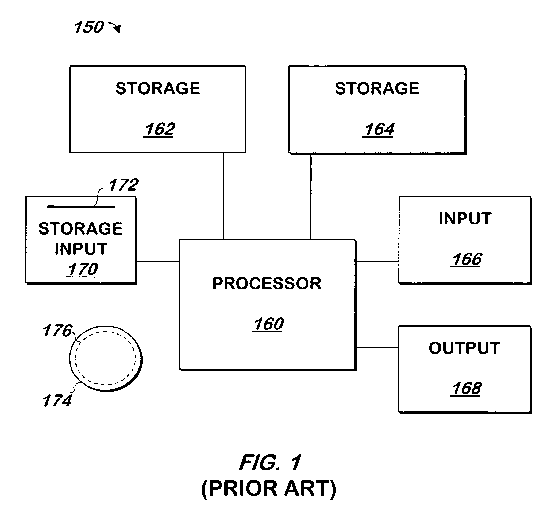
[0038]The present invention may be implemented as computer software on a conventional computer system. Referring now to FIG. 1, a conventional computer system 150 for practicing the present invention is shown. Processor 160 retrieves and executes software instructions stored in storage 162 such as memory, which may be Random Access Memory (RAM) and may control other components to perform the present invention. Storage 162 may be used to store program instructions or data or both. Storage 164, such as a computer disk drive or other nonvolatile storage, may provide storage of data or program instructions. In one embodiment, storage 164 provides longer term storage of instructions and data, with storage 162 providing storage for data or instructions that may only be required for a shorter time than that of storage 164. Input device 166 such as a computer keyboard or mouse or both allows user input to the system 150. Output 168, such as a display or printer, allows the system to provide...


PUM


Abstract

A system and method identifies road features that may not appear on a map database, such as paths not described as roads on the map database, and whether all the roads at a crossing cross at the same grade level. The system and method may thus be used to identify points of departure from, or points of merging onto, a road described by the map database or a path identified as described herein, but not described by the map database.

Description

RELATED APPLICATION[0001]This application claims the benefit of U.S. Provisional Patent Application Ser. No. 60 / 726,894, entitled, “Road Feature Identification for Navigable Databases” filed by Brian Smartt and Craig Weisenfluh on Oct. 14, 2005, having the same assignee as this application and is hereby incorporated herein by reference in its entirety.FIELD OF THE INVENTION[0002]The present invention is related to computer software and more specifically to computer software for computer-aided navigation.BACKGROUND OF THE INVENTION[0003]Conventional computer aided navigation devices may contain a map database that describes the geometry, name and other information regarding roads in a geographic area. However, the map database may be inaccurate. Such inaccuracies result from any of several sources. One source of inaccuracy is that the map database itself contains an error. Another source of inaccuracy is that a temporary portion of the road is built around the regular road surface, s...

Claims


Application Information

Patent Timeline
Patent Type & Authority Patents(United States)
IPC IPC(8): G01V3/38
CPCG01C21/32G09B29/003G09B29/102G01C21/3844G01C21/3822G01C21/3837G01C21/3819
Inventor SMARTT, BRIANWEISENFLUH, CRAIG
Owner MALIKIE INNOVATIONS LTD
Why Eureka
Try Eureka