Closest points of approach determination for unmanned aerial vehicle ground-based sense-and-avoid display system

a technology of unmanned aerial vehicles and display systems, applied in the direction of navigation instruments, using reradiation, instruments, etc., can solve the problems of difficult determination and display of the flight paths of two or more aerial vehicles in the same 3d airspace, and achieve the effect of safe separation distan

Inactive Publication Date: 2010-04-27
HERWITZ STANLEY ROBERT
View PDF2 Cites 98 Cited by
  • Summary
  • Abstract
  • Description
  • Claims
  • Application Information

AI Technical Summary

Problems solved by technology

However, for flight safety, the determination and display of the flight paths of two or more aerial vehicles (“AVs”) in the same 3D airspace is not straightforward.
Particularly challenging is estimating and displaying the time and distance of closest approach between two conflicting AVs, where one of the AVs is a ground-controlled UAV.

Method used


Image

  • Closest points of approach determination for unmanned aerial vehicle ground-based sense-and-avoid display system
  • Closest points of approach determination for unmanned aerial vehicle ground-based sense-and-avoid display system
  • Closest points of approach determination for unmanned aerial vehicle ground-based sense-and-avoid display system

Examples


Embodiment Construction

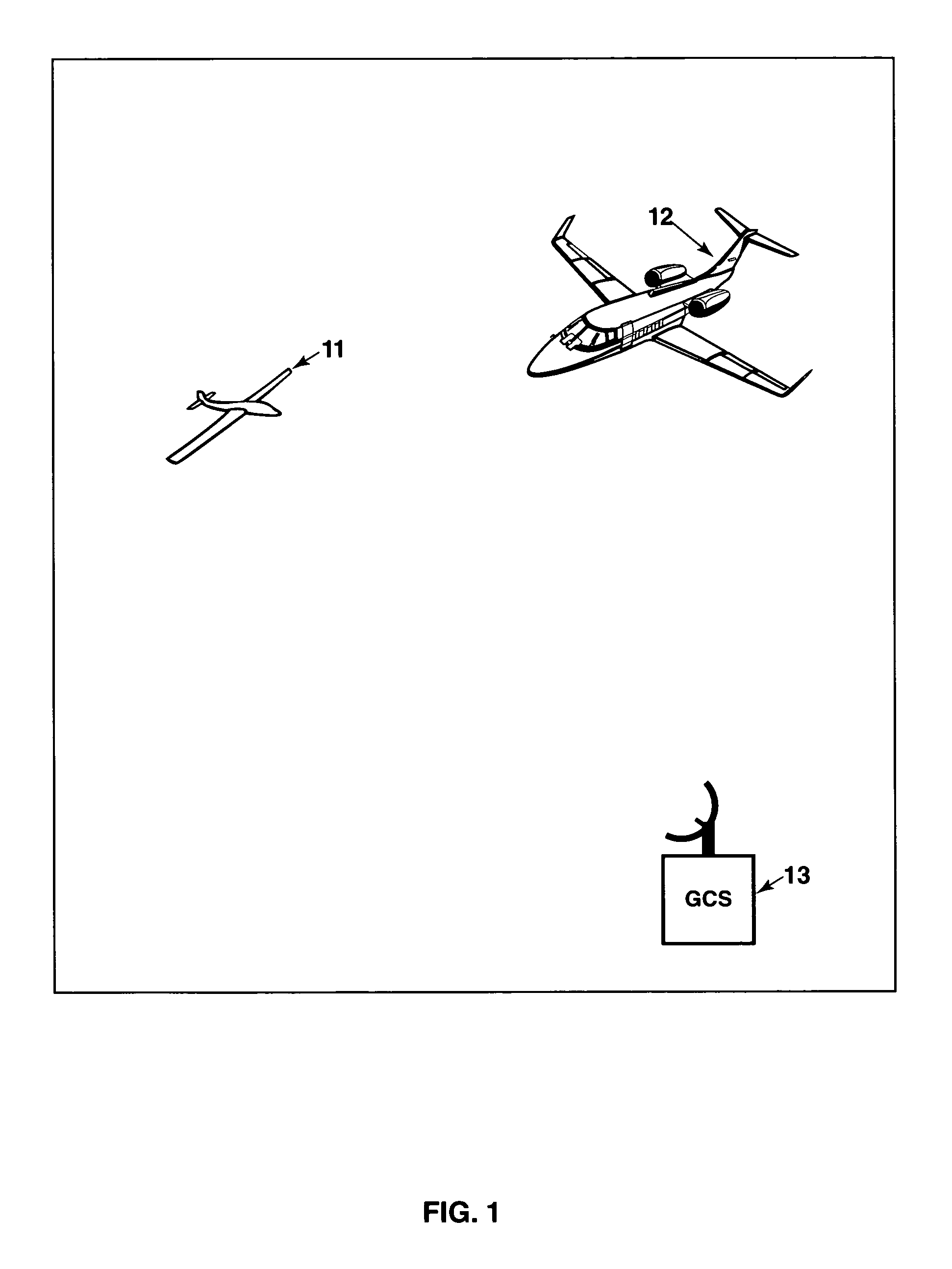
[0014]FIG. 1 illustrates use of the invention in one embodiment. This embodiment involves two aerial vehicles (“AVs”), 11 and 12, one or which is an unmanned aerial vehicle (“UAV”) that is controllable by a UAV pilot based in a ground control station (“GCS”), 13.

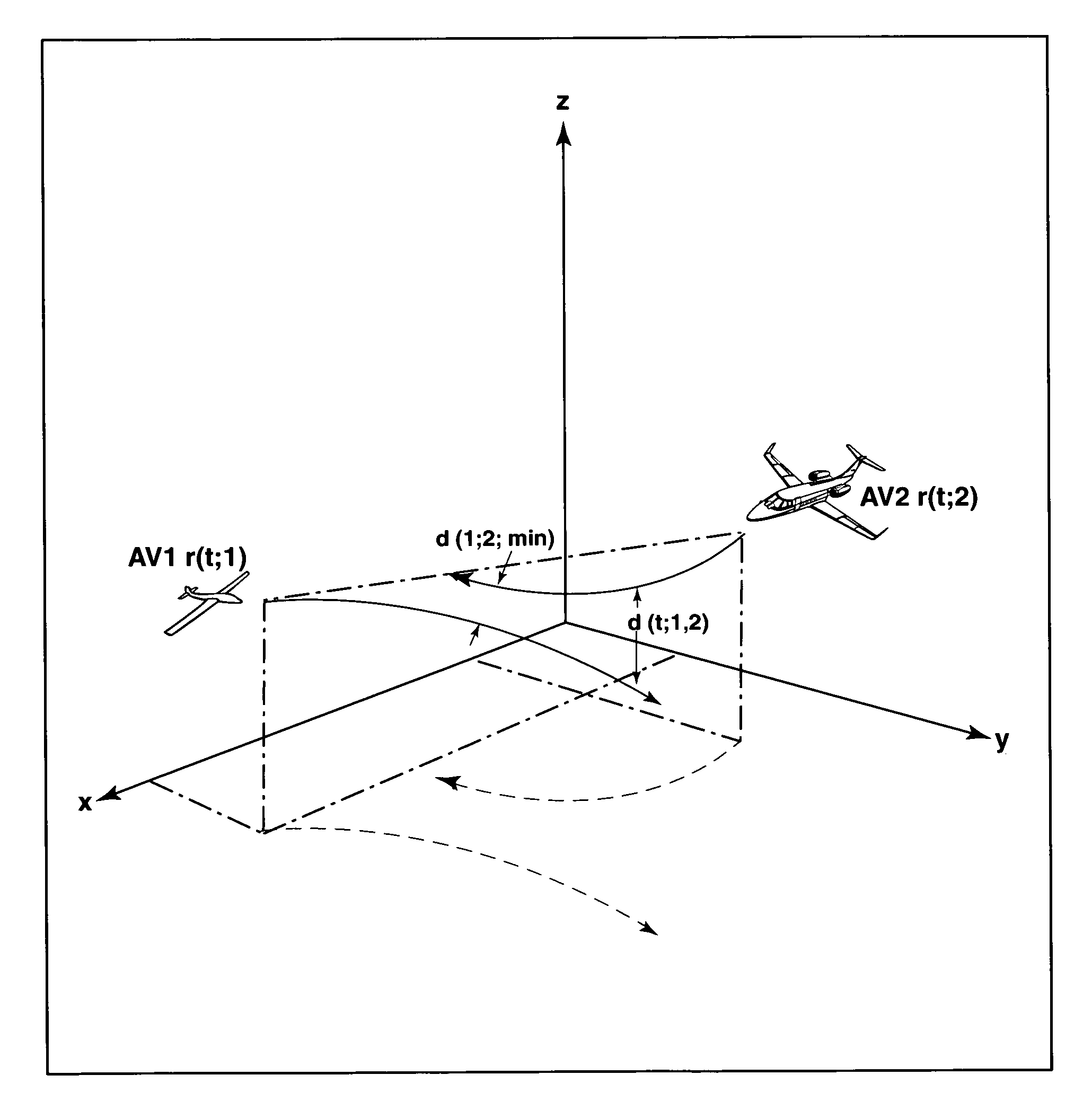
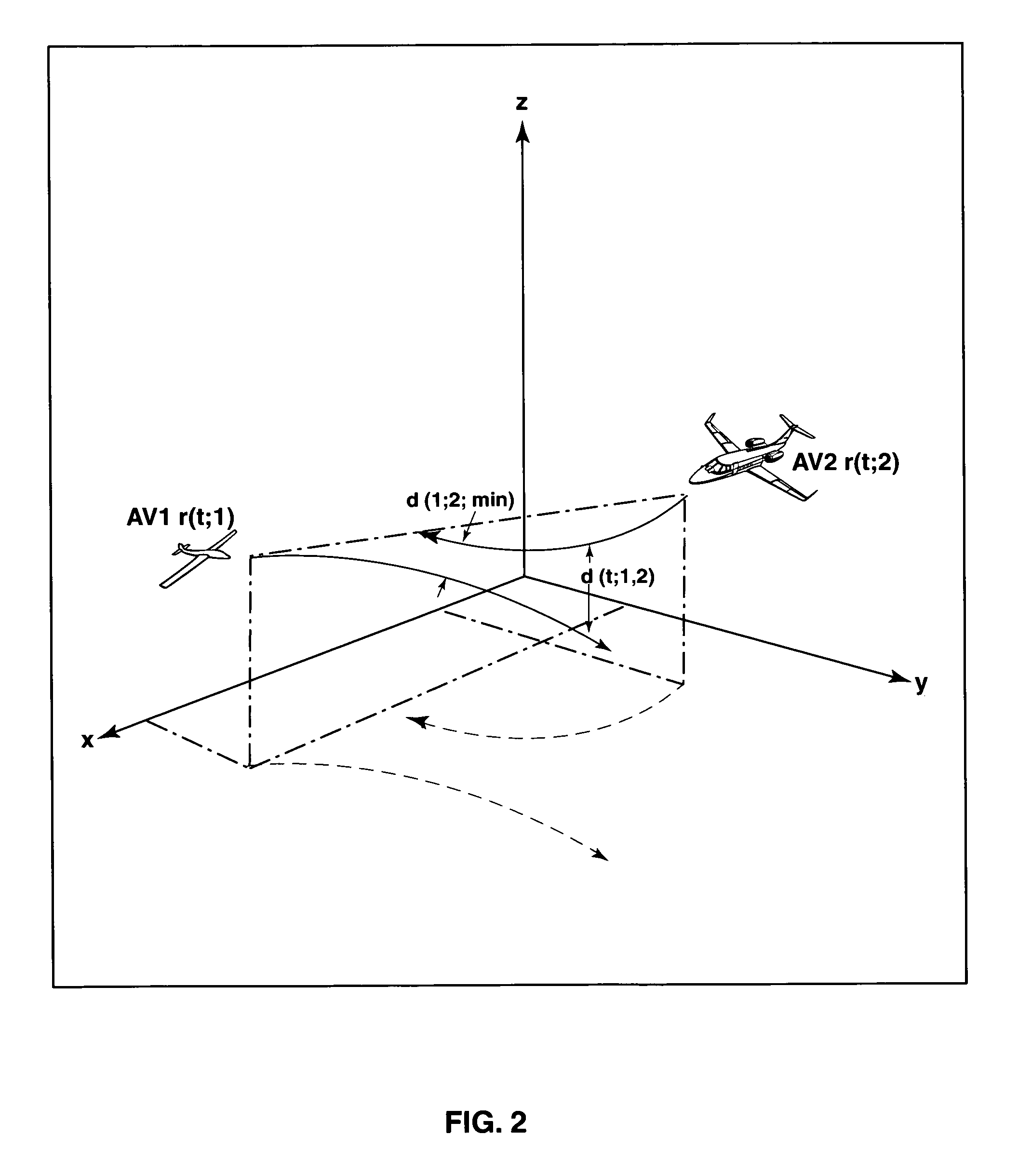
[0015]As the two AVs execute various motions, in their common airspace, it may become advisable for the UAV to modify its acceleration vector, or its velocity vector, so that the distance of closest approach, as illustrated in FIG. 2, is increased above a predefined threshold distance. In FIG. 2, AV no. u (u=1,2) has instantaneous position, velocity and acceleration vectors a0(u), a1(u) and a2(u), and a2(u=1).

[0016]Iterative computations are performed by the system to determine whether the separation distance between the UAV and another AV is less than the predefined safe separation distance threshold. In this circumstance, the system computes a modified acceleration vector for the UAV (AV no. 1) that will increase the dista...


PUM


Abstract

The invention is a sense-and-avoid display system that obtains position and / or velocity data for an unmanned aerial vehicle (UAV) and other aerial vehicles (AVs) from one or more radar and / or GPS data sources by wireless and / or wired data transfer pathways. The UAV and AV data are used to compute and display: present and projected future positions of UAV and other AVs; time and distance of closest approach between UAV and an AV; and recommended change in UAV's flight path and / or flight speed for conflict avoidance. This information is provided to the UAV pilot in 2D and 3D graphic displays.In standard mode of operation, UAV position and / or velocity data are obtained from UAV ground control station (GCS), while data for other AVs are obtained from a non-GCS data source (e.g., radar). In an alternative mode, UAV and other AV data are obtained from the same non-GCS data source. This alternative is an option when UAV is equipped with an identification device (e.g., transponder) and UAV is distinguished from other AVs using data obtained from an AV identification system (e.g., IFF).

Description

[0001]This application is a Continuation In Part (CIP) of U.S. Ser. No. 11 / 120,263 filed May 3, 2005 now U.S. Pat. No. 7,269,513. This invention relates to an unmanned aerial vehicle (“UAV”) and a ground-based sense-and-avoid display system (“SAVDS”) used for the purpose of UAV flight safety. The sense-and-avoid display system, hereafter referred to as the “system,” provides the ground-based UAV pilot with a graphic display of information pertaining to airborne conflict detection and mid-air collision avoidance.FIELD OF THE INVENTION[0002]The novelties disclosed herein follow from the original invention in the Parent Application. The essence of the invention set forth in the Parent Application, which includes data processing, and the computation and display of airborne conflict (including audio and visual warnings), remains essentially the same. The CIP enhances the functionality of the method and system described in the Parent Application by: (i) processing data from a number of fu...

Claims


Application Information

Patent Timeline
Patent Type & Authority Patents(United States)
IPC IPC(8): G08G1/16
CPCG01S13/003G01S13/86G08G5/0082G08G5/0013G08G5/0026G08G5/0069G01S13/91G01S7/003G08G5/045
Inventor HERWITZ, STANLEY ROBERT
Owner HERWITZ STANLEY ROBERT
Why Eureka
Try Eureka