Method for determining a state of a pavement from surroundings sensor data
a technology of surroundings sensor and state determination, which is applied in the direction of television system, instruments, transportation and packaging, etc., can solve the problem of general inability to determine tire properties from camera image data
- Summary
- Abstract
- Description
- Claims
- Application Information
AI Technical Summary
Benefits of technology
Problems solved by technology
Method used
Image
Examples
Embodiment Construction
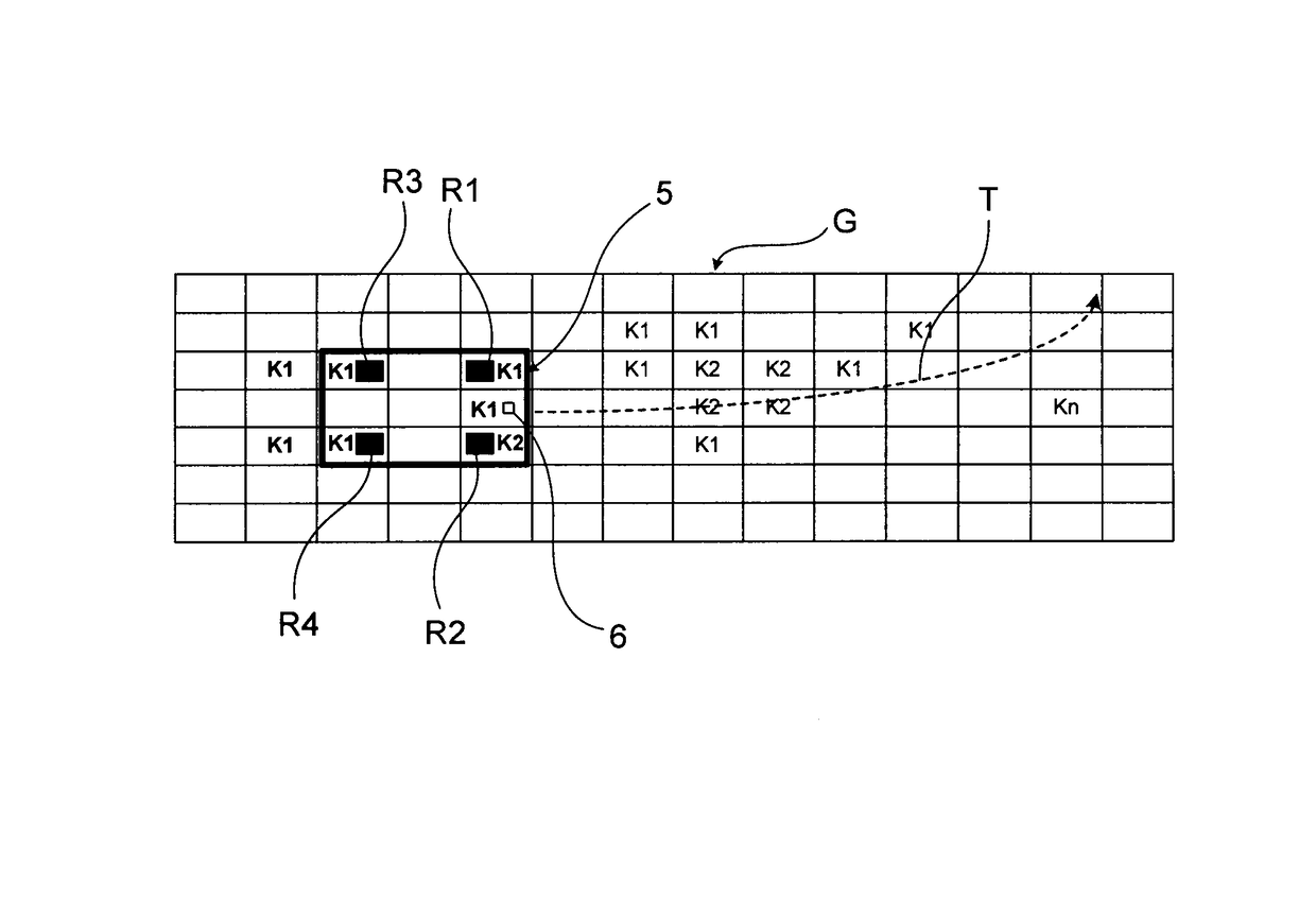
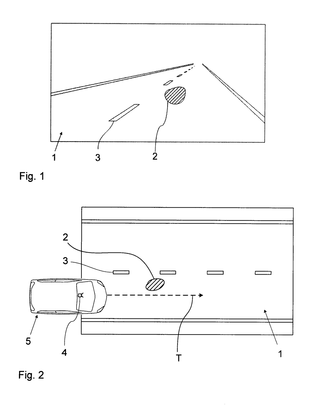
[0052]FIG. 1 shows, by way of example, a camera image of a region of the surroundings of the vehicle extending in front of the vehicle, which image was acquired by a front camera of a moving vehicle. Camera-based driver assistance functions can be realized on the basis of the same image, e.g., Lane Departure Warning (LDW), Lane Keeping Assistance / System (LKA / LKS), Traffic Sign Recognition (TSR), Intelligent Headlamp Control (THC), Forward Collision Warning (FCW), Precipitation Detection, Adaptive Cruise Control (ACC), Park Assist, Emergency Brake Assist (EBA), or Emergency Steering Assist (ESA).
[0053]The camera image shows a pavement (1) with a largely homogeneous surface. One can see lane markings on the surface: A continuous side line marking the left end of the pavement and a continuous side line marking the right end of the pavement as well as center line segments (3) of the broken / dashed central pavement marking. The pavement (1) could be an asphalt or concrete pavement. One ca...
PUM
 Abstract
Description
Claims
Application Information
 - R&D
- Intellectual Property
- Life Sciences
- Materials
- Tech Scout
- Unparalleled Data Quality
- Higher Quality Content
- 60% Fewer Hallucinations
Browse by: Latest US Patents, China's latest patents, Technical Efficacy Thesaurus, Application Domain, Technology Topic, Popular Technical Reports.
© 2025 PatSnap. All rights reserved.Legal|Privacy policy|Modern Slavery Act Transparency Statement|Sitemap|About US| Contact US: help@patsnap.com


