

Registering method for data texture image of ground laser radar
A terrestrial lidar and imaging technology, applied in image data processing, image enhancement, graphics and image conversion, etc., can solve problems such as co-planar and incomplete solutions
- Summary
- Abstract
- Description
- Claims
- Application Information
AI Technical Summary
Problems solved by technology
Method used
Image

Examples
Embodiment Construction
[0036] 1. Main implementation steps
[0037] 1.1 The principle and process of determining the initial value of registration parameters
[0038] The determination of the initial value of this method is to simplify the spatial similarity transformation model by barycentric coordinates, and apply the properties of antisymmetric matrix and Rodrigue matrix to simplify the barycentric model, and directly obtain the model for calculating registration parameters, and in A least squares solution is performed in the case of redundant observations.
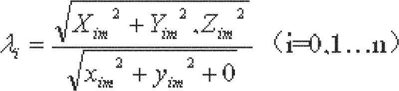
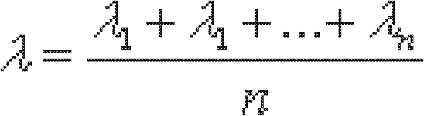
[0039] 1.1.1 Centered spatial similarity transformation model
[0040] The general model of spatial similarity transformation between image space coordinate system and object space coordinate system is:
[0041] X Y Z = λR ...
PUM
 Abstract
Description
Claims
Application Information