Electronic map service platform and electronic map data linkage displaying method

An electronic map and map data technology, applied in the field of geographic information, can solve the problems of low work efficiency, easy to generate errors, inconvenient business data maintenance, etc., to achieve the effect of easy maintenance and avoid duplication of work

Inactive Publication Date: 2014-01-22
NO 15 INST OF CHINA ELECTRONICS TECH GRP
View PDF3 Cites 9 Cited by
  • Summary
  • Abstract
  • Description
  • Claims
  • Application Information

AI Technical Summary

Problems solved by technology

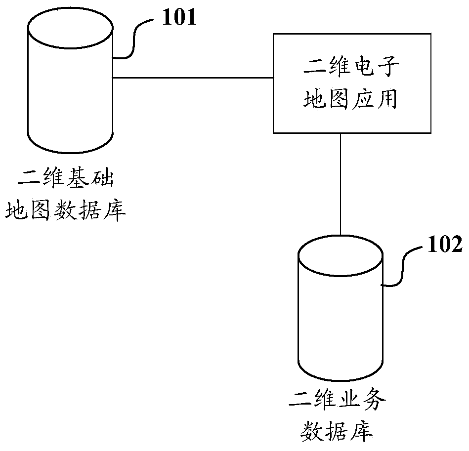
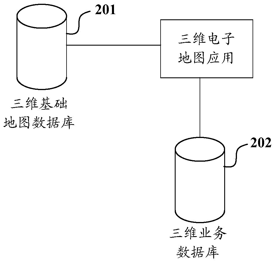
[0005] When the business unit maintains the business data, it not only needs to maintain the business data in the two-dimensional business database, but also needs to maintain the corresponding business data in the three-dimensional business database, resulting in duplication of work and low work efficiency; and , in the process of maintaining the same business data on different platforms, errors are prone to occur, which is not convenient for business units to maintain business data

Method used


Image

  • Electronic map service platform and electronic map data linkage displaying method
  • Electronic map service platform and electronic map data linkage displaying method
  • Electronic map service platform and electronic map data linkage displaying method

Examples


Embodiment Construction

[0039] The technical solutions of the present invention will be clearly and completely described below in conjunction with the accompanying drawings. Apparently, the described embodiments are only some of the embodiments of the present invention, not all of them. Based on the embodiments of the present invention, all other embodiments obtained by persons of ordinary skill in the art without making creative efforts belong to the protection scope of the present invention.

[0040] As used herein, terms such as "module" and "system" are intended to include computer-related entities such as, but not limited to, hardware, firmware, a combination of hardware and software, software, or software in execution. For example, a module may be, but is not limited to being limited to being, a process running on a processor, a processor, an object, an executable, a thread of execution, a program, and / or a computer. For example, both an application running on a computing device and the computi...


PUM


Abstract

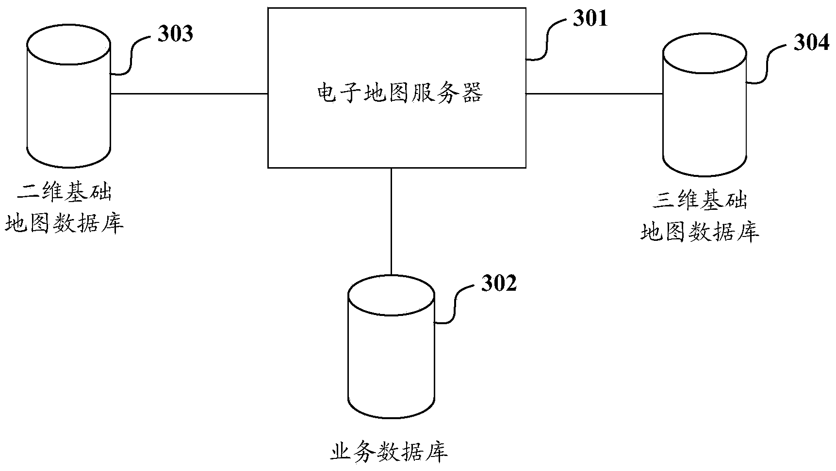
The invention discloses an electronic map service platform and an electronic map data linkage displaying method. The electronic map data linkage displaying method includes the steps of after a two-dimensional electronic map display command is received, according to the longitude and latitude scopes of a to-be-displayed two-dimensional electronic map related to the two-dimensional electronic map display command, loading two-dimensional foundation map data within the longitude and latitude scopes of a two-dimensional foundation map database, loading service data of a landmark object within the longitude and latitude scopes in a service database, and conducting two-dimensional electronic map display; after a three-dimensional electronic map display command is received, determining the longitude and latitude scopes of a to-be-displayed three-dimensional electronic map according to a measuring scale and the longitude and the latitude of a center point of the two-dimensional electronic map displayed in advance; loading three-dimensional foundation map data within the longitude and latitude scopes determined in the three-dimensional foundation map database, loading service data and height information of a landmark object within the longitude and latitude scopes determined in the service database, and conducting three-dimensional electronic map display. Thus, service data maintenance can be conveniently carried out by a service unit.

Description

technical field [0001] The invention relates to geographical information technology, in particular to an electronic map service platform and a method for linked presentation of electronic map data. Background technique [0002] Electronic map is a visual map displayed on an electronic screen through certain hardware or software based on computer technology and map database. The scale of the electronic map can be enlarged, reduced or rotated without affecting the display effect. Moreover, electronic maps are the main way of expressing geographic data in GIS (Geographic Information System). With the rapid development of geographic information technology, electronic maps have been widely used in government planning, economic and trade, travel guides, satellite navigation, and combat operations. field of command. [0003] Generally, electronic maps can be divided into two-dimensional electronic maps and three-dimensional electronic maps according to different expression forms....

Claims


Application Information

Patent Timeline
Patent Type & Authority Applications(China)
IPC IPC(8): G06F17/30
CPCG06F16/9537G06F16/29G06F16/9574
Inventor 刘玉龙王燕何岩郑扬飞陶安李月军张权刘燕伟耿宏宇张俊铭
Owner NO 15 INST OF CHINA ELECTRONICS TECH GRP
Why Eureka
Try Eureka