Ground laser radar reflection intensity image generation method based on central projection

A terrestrial lidar and central projection technology, applied in the field of photogrammetry and lidar, can solve problems such as image deformation, and achieve the effect of solving matching problems, improving matching reliability, and increasing the number of point pairs

Active Publication Date: 2014-08-27
BEIJING UNIVERSITY OF CIVIL ENGINEERING AND ARCHITECTURE
View PDF5 Cites 28 Cited by
  • Summary
  • Abstract
  • Description
  • Claims
  • Application Information

AI Technical Summary

Problems solved by technology

Ground lidar generally uses a spherical projection method centered on the center of the lidar to obtain data. If the image is generated directly based on the

Method used


Image

  • Ground laser radar reflection intensity image generation method based on central projection
  • Ground laser radar reflection intensity image generation method based on central projection
  • Ground laser radar reflection intensity image generation method based on central projection

Examples


Embodiment Construction

[0038] The present invention will be further described in detail below in conjunction with the accompanying drawings, so that those skilled in the art can implement it with reference to the description.

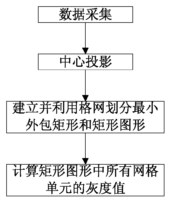
[0039] Such as figure 1 As shown, the present invention provides a method for generating a ground lidar reflection intensity image based on central projection, comprising the following steps:

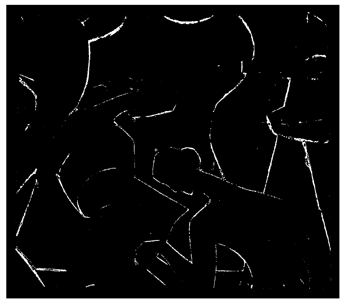
[0040] Step 1. Data collection: Use ground lidar to obtain data such as figure 2 The laser point cloud of the object to be measured is shown as a close-range image of the object to be scanned by using the camera. The laser point cloud is located in the coordinate system of the ground laser radar instrument, and the coordinate system is based on the center of the laser source of the ground laser radar. The origin, the Y-axis is the fixed direction of the instrument when it is initialized, the Z-axis is vertically upward and perpendicular to the Y-axis, the X-axis is perpendicular to t...


PUM


Abstract

The invention discloses a ground laser radar reflection intensity image generation method based on central projection. The ground laser radar reflection intensity image generation method based on central projection comprises the following steps that firstly, a ground laser radar is used for obtaining the laser point cloud of a detected object; secondly, the laser source of the ground laser radar serves as a projection center, a central point projection radial is determined through the projection center and the center of the laser point cloud, a plane which is perpendicular to the central point projection radial and passes through the central point serves as a projection plane, the laser point cloud is projected in the projection plane to obtain corresponding projection points; thirdly, a minimum wrapping rectangle and a rectangular graph of all the projection points are built and are divided through grids with the same intervals, and any grid unit of the rectangular graph has corresponding grid units in the minimum wrapping rectangle. For any grid unit of the rectangular graph, the reflection intensity value of the nearest projection point in the minimum wrapping rectangle is converted into a gray value, and the gray value is given to the grid unit.

Description

technical field [0001] The invention relates to the technical fields of photogrammetry and laser radar, in particular to a method for generating ground laser radar reflection intensity images based on central projection. Background technique [0002] The automatic registration of terrestrial lidar point cloud data and optical center projection close-range images (hereinafter referred to as close-range images) is a research hotspot and difficulty in recent years. Ground lidar point cloud data is three-dimensional information, while close-range images are two-dimensional information. The registration problem between 3D and 2D can be converted into 2D and 2D matching in some cases. Generally, the laser radar point cloud reflection intensity image is directly matched with the close-range image. The reflection intensity of the laser point cloud is related to the material, color, scanning angle, distance, reflection characteristics, and reflection coefficient of the measured obje...

Claims


Application Information

Patent Timeline
IPC IPC(8): G01S17/89G06F19/00
CPCG01S7/48G01S17/89
Inventor 胡春梅王晏民李天烁
Owner BEIJING UNIVERSITY OF CIVIL ENGINEERING AND ARCHITECTURE
Why Eureka
Try Eureka