A Method of Calibrating the Moon's Elevation Model Using the Coordinates of the Lunar Surface Laser Reflector Array

An elevation model and laser reflection technology, applied in the field of lunar and planetary science, can solve problems such as inaccurate errors and achieve the effect of eliminating systematic deviations

Active Publication Date: 2018-02-02
中国人民解放军63920部队
View PDF5 Cites 0 Cited by
  • Summary
  • Abstract
  • Description
  • Claims
  • Application Information

AI Technical Summary

Problems solved by technology

Studies have shown that in the data preprocessing of the laser altimeter, it is first necessary to correct the system error caused by the crystal oscillator for the ranging value. For example, the altimeter carried by the Chang’e satellite is the distance from the satellite to the lunar surface obtained by multiplying the ranging value by a correction factor of 0.9645. If A one-thousandth error in the correction factor will cause an error of 100 meters in elevation, which cannot be eliminated by orbit or laser altimetry data

Method used


Image

  • A Method of Calibrating the Moon's Elevation Model Using the Coordinates of the Lunar Surface Laser Reflector Array
  • A Method of Calibrating the Moon's Elevation Model Using the Coordinates of the Lunar Surface Laser Reflector Array
  • A Method of Calibrating the Moon's Elevation Model Using the Coordinates of the Lunar Surface Laser Reflector Array

Examples


Embodiment Construction

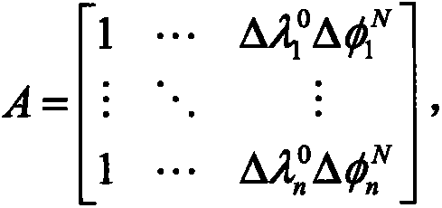
[0024] The invention provides a method for calibrating the lunar elevation model by utilizing the coordinates of the lunar surface laser reflection array, comprising the following steps:

[0025] Step S1, using laser altimetry data to establish a lunar elevation model

[0026] Such as figure 1 As shown in Fig. 1, the main principle of calculating the lunar surface elevation value from the lunar satellite laser altimetry, satellite orbit and attitude data is given. The laser altimeter carried by the detector emits a set of laser beams to the lunar surface, and the echo returns to the altimeter after being reflected by the lunar surface. The altimeter obtains the distance from the detector to the lunar surface by recording the time difference between the received signal and the emitted signal of the laser beam. Assume is the observation vector of the laser altimeter at a certain observation time, determined by the laser altimeter ranging value and attitude data; is the posi...


PUM


Abstract

The invention discloses a method for calibrating moon elevation model by utilizing selenographic laser reflection array coordinate; the method comprises the following steps: using laser height measurement data to establish a moon elevation model; calculating a selenographic laser reflection array precise elevation value; calculating a systematic deviation average value of the moon elevation model; correcting the deviation of the moon elevation model. By utilizing the technical scheme, the systematic deviation of the elevation model can be effectively removed, and the moon elevation model can be precisely obtained.

Description

technical field [0001] The invention belongs to the field of lunar and planetary science and technology, and in particular relates to a method for calibrating a lunar elevation model by utilizing coordinates of a lunar surface laser reflection array. technical background [0002] The lunar elevation model describes the height change of the lunar surface terrain relative to a reference true sphere (generally taken as a true sphere with a radius of 1738km), and reflects the fluctuation of the lunar surface, also known as the lunar terrain model. At present, the lunar elevation model is obtained through the inversion of altimetry data obtained by the satellite laser altimeter carried by the lunar probe. Therefore, the accuracy of the obtained model is not only related to the characteristics of the probe orbit, but also related to the properties of the altimeter itself. From October 2007 to July 2008, my country's Chang'e-1 satellite obtained a total of 7,247,000 effective laser...

Claims


Application Information

Patent Timeline
Patent Type & Authority Patents(China)
IPC IPC(8): G01S17/89
CPCG01S7/497G01S17/08
Inventor 胡松杰曹建峰刘磊刘也郑爱武
Owner 中国人民解放军63920部队
Why Eureka
Try Eureka