Geographic information display method based on augmented reality technology

A geographic information and augmented reality technology, applied in satellite radio beacon positioning systems, instruments, measuring devices, etc., can solve the problem that the list display data is not intuitive enough, and it is difficult to real orientation, height and distance

Active Publication Date: 2016-02-17
吉奥时空信息技术股份有限公司
View PDF5 Cites 7 Cited by
  • Summary
  • Abstract
  • Description
  • Claims
  • Application Information

AI Technical Summary

Problems solved by technology

[0008] The present invention mainly solves the problems in the prior art that the list display data existing in the geographic information display when collecting geographic information is not intuitive enough, and the geographic information di

Method used


Image

  • Geographic information display method based on augmented reality technology
  • Geographic information display method based on augmented reality technology
  • Geographic information display method based on augmented reality technology

Examples


Embodiment

[0062] This embodiment adopts virtual reality technology to realize the display of feature tags, and provides a solution for displaying and collecting location information of feature tags. In this embodiment, the two schemes are used in combination, so that the feature labels can be displayed and the feature information can be collected at the end. The display and acquisition are introduced respectively below.

[0063] 1. Feature label display

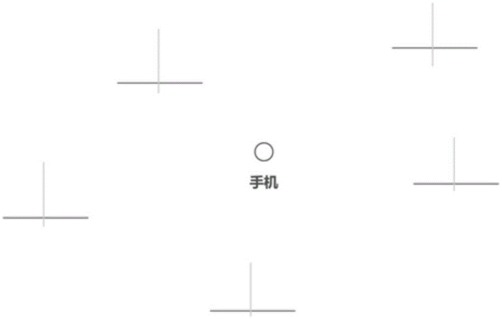
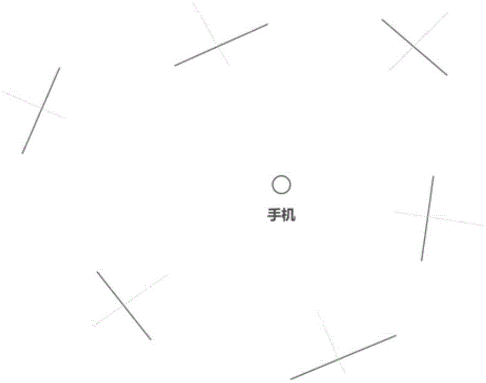
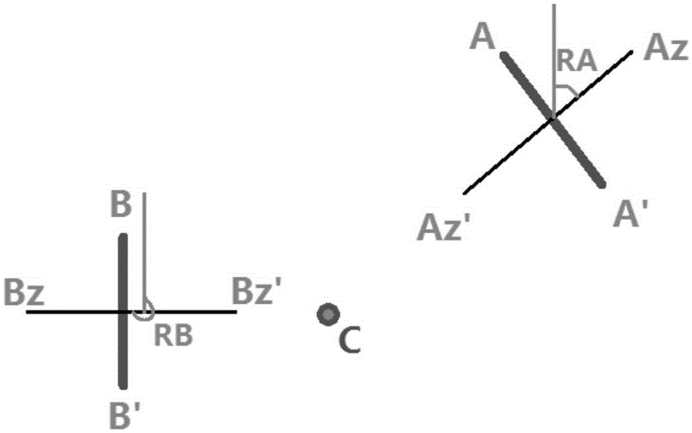
[0064] Before displaying the object label in the 3D scene, the image data of the label needs to be generated first. The image data is a rectangle filled with color, and there are texts in the rectangle describing the geographical information of the object, such as the name and address of the object. When using OpenGL to draw a label, the direction of the brush is always perpendicular to the east-west direction, that is, if there is no direction change, it will be drawn as an attached figure 1 This situation. So we need to rotate the...


PUM


Abstract

The invention relates to a geographic information display method based on the augmented reality technology. The method comprises the following steps: establishing a three-dimensional coordinate system of a mobile phone; mapping longitudes and latitudes of the mobile phone and a to-be-displayed feature into the three-dimensional coordinate system of the mobile phone; generating a rotation matrix of a rotation feature label according to the mobile phone coordinates and the feature coordinates in the three-dimensional coordinate system; and drawing the feature label and rotating the feature label to the plane normal direction of the feature label by utilizing the rotation matrix to point at the location of the mobile phone. Therefore, the method has the advantages that 1, information display is intuitive and convenient, geographic information can be directly superposed into a field scene by utilizing data display advantages of augmented reality, and the user can acquire information intuitively; and 2, information display content is various, the feature label can be accurately drawn in a virtual three-dimensional space directly on a screen according to the location coordinates of the feature by utilizing the augmented reality technology, and the user can determine the direction and distance of the feature directly through the label position.

Description

technical field [0001] The invention relates to an information display method, which belongs to the field of GIS information display methods, and in particular to a mobile terminal geographic information display method. Background technique [0002] In the land and planning industry, many businesses involve the use of mobile terminals to implement geographic information collection, such as land inspections and land construction reports. In subsequent businesses, the display of geographic information on mobile devices is also particularly important. . Geographical information collection refers to the process in which users enter geographic information on a feature, where geographic information includes location information, attribute information, and so on. Geographical information display refers to the display of geographic information data on the screen of mobile devices through various means and methods. [0003] In terms of information display, there are two means of in...

Claims


Application Information

Patent Timeline
IPC IPC(8): G01S19/42
CPCG01S19/42
Inventor 麦家杰李伦黄宇陈新伟
Owner 吉奥时空信息技术股份有限公司
Why Eureka
Try Eureka