A large-scale urban spatial energy consumption digital map production and display method
A digital map and display method technology, applied in energy-saving computing, geographic information database, structured data retrieval, etc., can solve the problem of lack of energy consumption in large-scale urban space, reduce errors, improve work efficiency, and avoid time-consuming and laborious Effect
- Summary
- Abstract
- Description
- Claims
- Application Information
AI Technical Summary
Problems solved by technology
Method used
Image
Examples
Embodiment
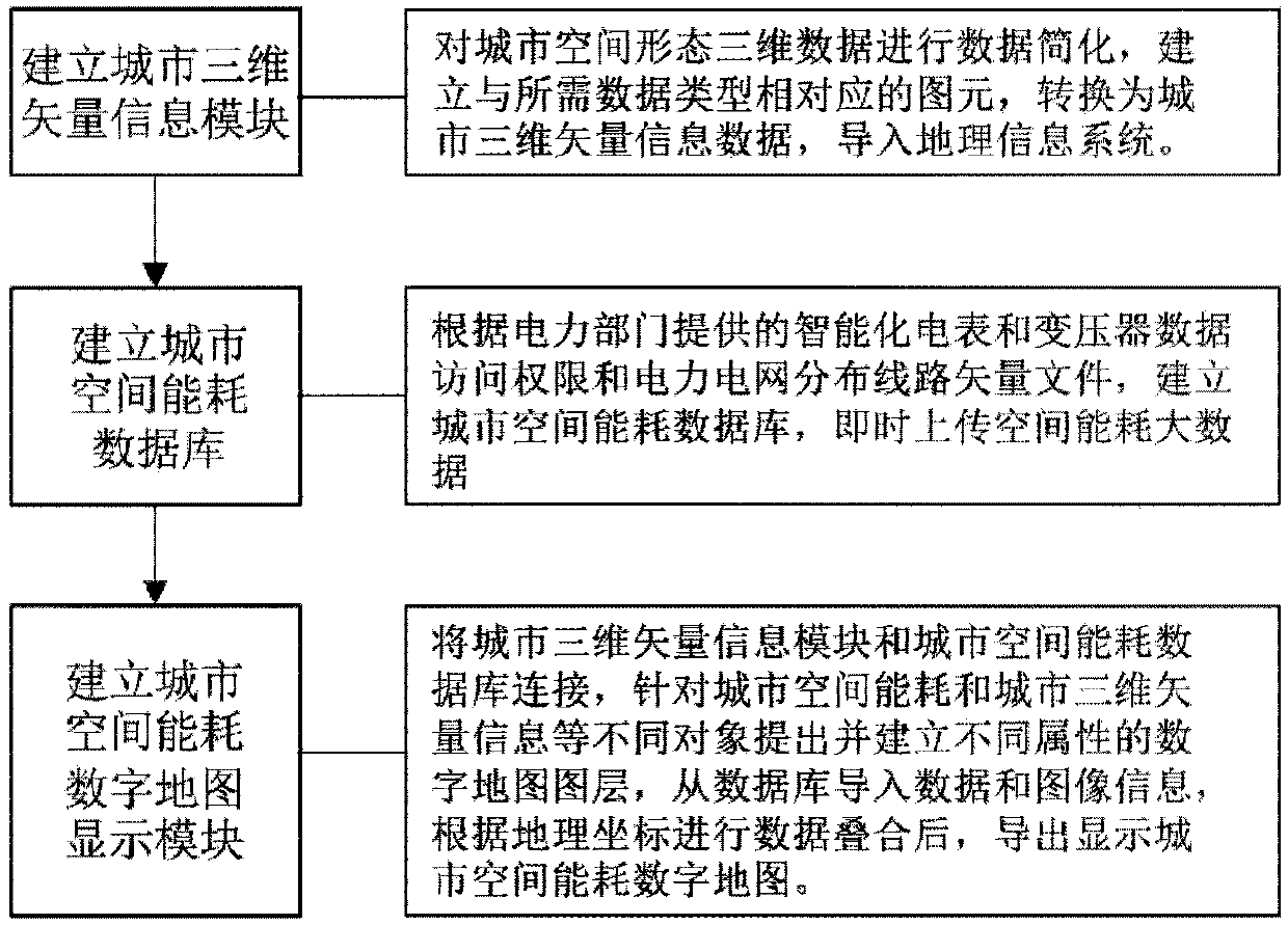
[0043] Embodiment: a method for making and displaying a digital map of large-scale urban space energy consumption, such as figure 1 As shown, it specifically includes the following operations:
[0044] 1) Establish a city three-dimensional vector information module
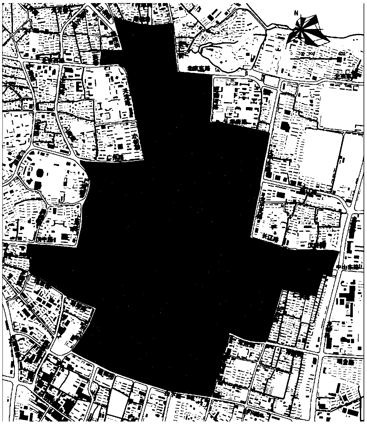
[0045] This embodiment takes the central area of Nanjing as an example, such as figure 2 As shown, data simplification is carried out on the 3D data of the spatial form of the central area of Nanjing, the primitives corresponding to the required data types are established, converted into urban 3D vector information data, and imported into the geographic information system.
[0046] 1.1) According to actual surveying and mapping and satellite remote sensing maps, complete and accurate vector graphics of the current land use in the central area of Nanjing and related geospatial coordinate data are obtained;
[0047] 1.2) Simplify and convert the format of the three-dimensional data of the spatial form of th...
PUM
 Abstract
Description
Claims
Application Information
 - R&D
- Intellectual Property
- Life Sciences
- Materials
- Tech Scout
- Unparalleled Data Quality
- Higher Quality Content
- 60% Fewer Hallucinations
Browse by: Latest US Patents, China's latest patents, Technical Efficacy Thesaurus, Application Domain, Technology Topic, Popular Technical Reports.
© 2025 PatSnap. All rights reserved.Legal|Privacy policy|Modern Slavery Act Transparency Statement|Sitemap|About US| Contact US: help@patsnap.com


