Coarse digital elevation map-based InSAR (interferometric synthetic aperture radar) absolute phase fuzzy estimation method

A digital elevation map and absolute phase technology, which is applied in the field of signal processing, can solve problems such as large fluctuations in scene height and inapplicability, and achieve the effects of simplifying the calculation process, improving real-time processing efficiency, and overcoming the problem of distance ambiguity

Active Publication Date: 2016-12-07
XIDIAN UNIV
View PDF6 Cites 10 Cited by
  • Summary
  • Abstract
  • Description
  • Claims
  • Application Information

AI Technical Summary

Problems solved by technology

Moreover, when the above method performs real-time estimation, the inversion of the angle of view under the antenna is required, and the arc cosine calculation is required, and the result of the arc cosine should be between [-π/2, π/2]. Therefore, the disadvantage of the above method is that

Method used


Image

  • Coarse digital elevation map-based InSAR (interferometric synthetic aperture radar) absolute phase fuzzy estimation method
  • Coarse digital elevation map-based InSAR (interferometric synthetic aperture radar) absolute phase fuzzy estimation method
  • Coarse digital elevation map-based InSAR (interferometric synthetic aperture radar) absolute phase fuzzy estimation method

Examples


Embodiment Construction

[0034] The present invention will be further described below in conjunction with the accompanying drawings.

[0035] Refer to attached figure 1 , the present invention realizes on the real-time system based on Field Programmable Gate Array FPGA and multi-core digital signal processing board TIDSPTMS320C6678, and its specific implementation steps are as follows:

[0036] Step 1. Estimate the reference average height h of the imaging scene according to the reference digital elevation map used for echo simulation.

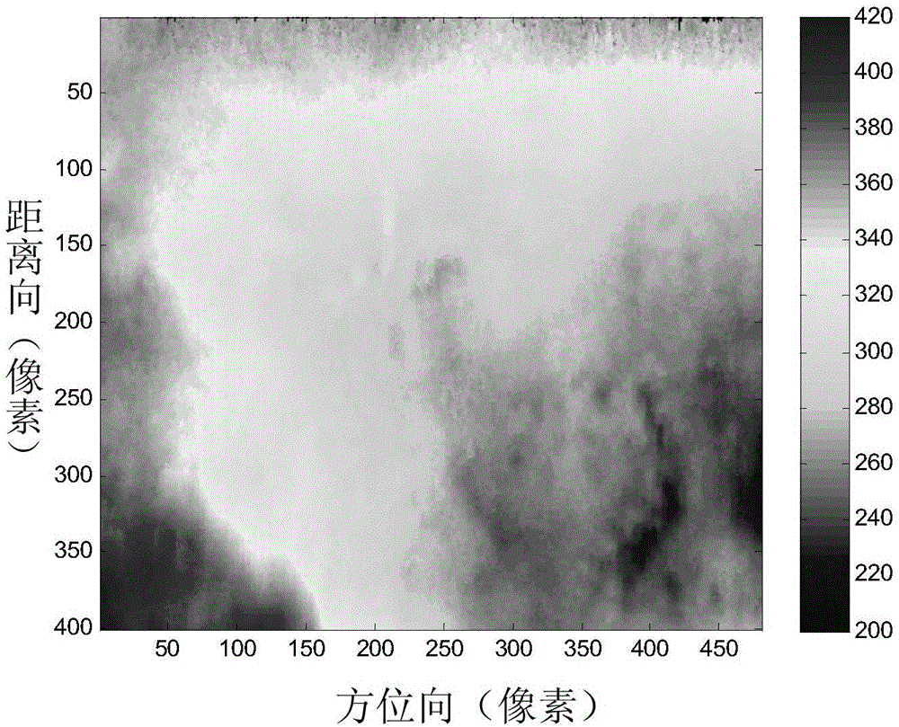
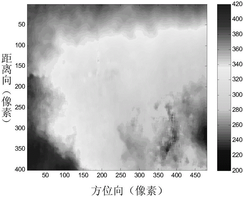
[0037] refer to Figure 5 and Figure 7 , the reference digital elevation map is the digital elevation map of the echo recording scene, and the reference average height h of the imaging scene is estimated according to the reference digital elevation map, which is carried out by the following formula:

[0038] h=mean2(H DEM );

[0039] Among them, H DEM is the height information matrix corresponding to the benchmark digital elevation map, and mean2 is a 2-dimens...


PUM


Abstract

The present invention discloses a coarse digital elevation map-based InSAR (interferometric synthetic aperture radar) absolute phase fuzzy estimation method. The main objective of the invention is to solve the problem of requiring ground accurate control points and the problem of complicated calibration computation in real-time digital elevation map generation of an existing radar. The method includes the following steps that: 1) the reference average height of a target scene is determined according to the coarse digital elevation map of the target scene; 2) a scene center slope distance is estimated according to the reference average height of the target scene; 3) the unwrapping phase and absolute phase of the scene center reference point are calculated; 4) the absolute phase fuzzy number of the whole scene is calculated according to the unwrapping phase and absolute phase of the scene center reference point; and 5) a real-time digital elevation map is obtained through inversion according to the absolute phase fuzzy number of the scene. With the coarse digital elevation map-based InSAR absolute phase fuzzy estimation method of the invention adopted, the absolute phase fuzzy number of a ground scene according to which no ground accurate control points exist and height changes sharply, can be estimated correctly and quickly. The method can be applied to the real-time signal processing system of an airborne radar.

Description

technical field [0001] The invention belongs to the technical field of signal processing, and in particular relates to an absolute phase ambiguity estimation method of an interferometric synthetic aperture radar InSAR, which can be used in a radar real-time signal processing system for the purpose of obtaining a digital elevation map of a ground scene with elevation fluctuations. Background technique [0002] The application of interferometric synthetic aperture radar InSAR is extremely extensive, and the most direct application is to obtain digital elevation maps. The digital elevation map of the ground scene obtained by single flight through InSAR relies on the wave path difference of the radar beams of the two antennas, which is reflected in the phase of the radar echoes of the two antennas. Solving the absolute phase of the whole scene from the radar echo is the prerequisite for obtaining the digital elevation map of the whole scene. When there is no precise control poi...

Claims


Application Information

Patent Timeline
IPC IPC(8): G01S13/90
CPCG01S13/9023
Inventor 索志勇李涵张玮杨志富
Owner XIDIAN UNIV
Why Eureka
Try Eureka