Flood forecasting method based on rainfall flood space-time database
A forecasting method and technology of spatiotemporal data, applied in geographic information database, forecasting, data processing applications, etc., can solve problems such as early warning obstacles and achieve accurate forecasting effect
- Summary
- Abstract
- Description
- Claims
- Application Information
AI Technical Summary
Problems solved by technology
Method used
Image
Examples
Embodiment
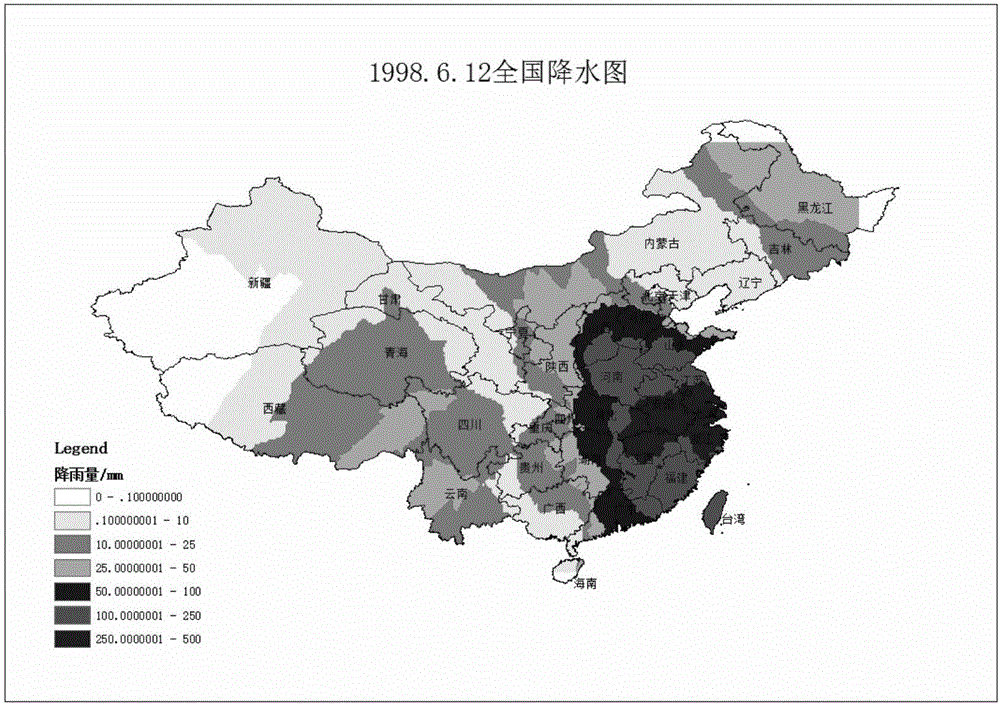
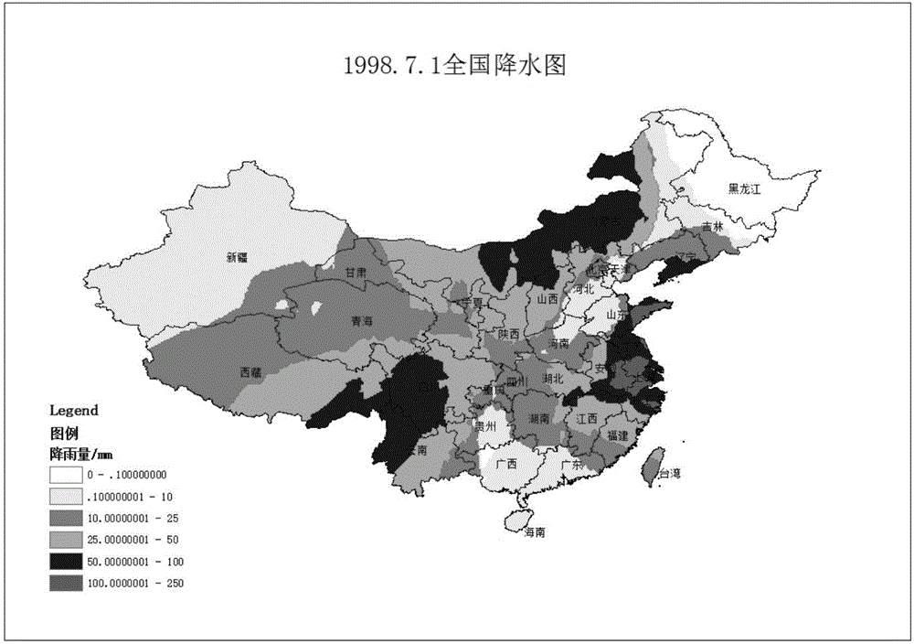
[0048] In this embodiment, the spatio-temporal data integrated with major flood disasters and daily rainfall data since the founding of the People's Republic of China are used to detect and predict the laws of rainstorm and flood disasters, including the following steps:
[0049]1) Use the relational database PostgreSQL to establish a data model, establish a complete table that can show the dynamic changes in daily rainfall, collect daily rainfall data from 1951 to 2013 at 194 stations across the country, and merge the data of all stations by month (data source : The 1951-2010 data in the data set was developed based on the "1951-2010 Chinese National Ground Station Data Corrected Monthly Report Data File (A0 / A1 / A) Basic Data Set" archived by the ground basic meteorological data construction project. 2011 The data from January to May 2012 was developed based on the surface monthly report data file (A file) reported by each province to the National Meteorological Information Cen...
PUM
 Abstract
Description
Claims
Application Information
 - R&D
- Intellectual Property
- Life Sciences
- Materials
- Tech Scout
- Unparalleled Data Quality
- Higher Quality Content
- 60% Fewer Hallucinations
Browse by: Latest US Patents, China's latest patents, Technical Efficacy Thesaurus, Application Domain, Technology Topic, Popular Technical Reports.
© 2025 PatSnap. All rights reserved.Legal|Privacy policy|Modern Slavery Act Transparency Statement|Sitemap|About US| Contact US: help@patsnap.com


