
Landslide and mud-rock flow detection method combined with altimetric single mountain range remote sensing image

A technology of remote sensing image and detection method, which is applied in the field of remote sensing image processing and analysis, can solve the problems that the analysis is not simple and reliable, and cannot accurately detect the landslide debris flow area of ​​a single mountain remote sensing image, and achieves easy understanding, high accuracy, Simple operation effect

Inactive Publication Date: 2017-06-13
NANJING UNIV OF SCI & TECH
View PDF2 Cites 5 Cited by
  • Summary
  • Abstract
  • Description
  • Claims
  • Application Information

AI Technical Summary

Problems solved by technology

However, these methods require additional auxiliary information, and are not as simple and reliable as analyzing the real relative elevation information of the area
[0004] It can be seen from the above that under the premise of unknown DEM data in the prior art, the landslide and debris flow area in a single mountain remote sensing image cannot be accurately detected

Method used


Image

  • Landslide and mud-rock flow detection method combined with altimetric single mountain range remote sensing image
  • Landslide and mud-rock flow detection method combined with altimetric single mountain range remote sensing image
  • Landslide and mud-rock flow detection method combined with altimetric single mountain range remote sensing image

Examples


Embodiment

[0037] The method for detecting landslide and debris flow of a single mountain range remote sensing image combined with elevation in the present invention, the steps are as follows:

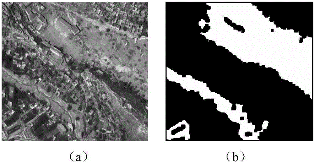
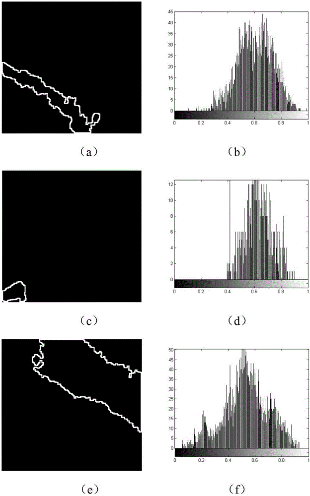
[0038] The first step is to obtain a model through machine learning training. The steps are as follows: After analyzing the typical landslide debris flow area, determine two important features: RGB color features, image texture features (specifically contrast, correlation, energy and homogeneity); then introduce slow feature analysis for preprocessing Image texture features, input contrast, correlation, energy and homogeneity into the slow feature analysis function in the form of column vectors, the first column of data in the output is the feature with high discrimination; finally, RGB color features and high discrimination The feature data is input into the support vector machine to train the model.

[0039] The second step is to detect the suspected landslide debris flow area. The specific i...


PUM


Abstract

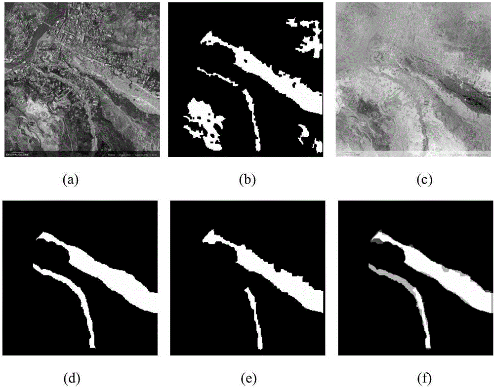
The invention discloses a landslide and mud-rock flow detection method combined with an altimetric single mountain range remote sensing image. The method comprises the steps that characteristics of a landslide and mud-rock flow region are extracted and preprocessed, and a suspected landslide and mud-rock flow region is detected by means of a machine learning training model; then an altimetric information graph is calculated based on the dark channel principle, altimetric information around the suspected region is analyzed, a standard deviation is calculated based on a column diagram, and whether landslide and mud-rock flow take place in the region or not is judged. By means of the method, the landslide and mud-rock flow region in the single mountain range remote sensing image can be accurately detected out.

Description

technical field [0001] The invention belongs to the field of remote sensing image processing and analysis, in particular to a method for detecting landslide debris flow in a single mountain remote sensing image combined with elevation. Background technique [0002] Remote sensing images are widely used in civil and military fields, and have produced huge social and economic benefits. Estimated elevation information based on a single remote sensing image can be applied to the detection of natural disasters such as landslides and debris flows. my country is a country with frequent natural disasters. Therefore, the detection method of landslide and debris flow in a single mountain remote sensing image combined with elevation has important application value in remote sensing image processing. [0003] The purpose of remote sensing image research is for practical application, and it can become a means of natural disaster investigation and monitoring. In recent years, with the c...

Claims


Application Information

Patent Timeline
IPC IPC(8): G06K9/46G06K9/62
CPCG06V10/50G06F18/2411
Inventor 陈强盛婷婷
Owner NANJING UNIV OF SCI & TECH
Learn More