Land Cover Classification Method and System Based on Spatial Clustering of Crowdsource Geographic Data

A land cover and geographic data technology, applied in geographic information databases, structured data retrieval, special data processing applications, etc., can solve problems such as time-consuming and laborious, limited remote sensing image acquisition technology, difficult to accurately define land cover types, etc.

Active Publication Date: 2019-07-23
SHANDONG NORMAL UNIV
View PDF10 Cites 0 Cited by
  • Summary
  • Abstract
  • Description
  • Claims
  • Application Information

AI Technical Summary

Problems solved by technology

"Hou, Dongyang, et al."Active collection of landcover sample data from geo-tagged web texts."Remote Sensing 7.5(2015):5805-5827." However, it is difficult to accurately define the type of land cover with text information
"Sitthi, Asamaporn, et al."Exploring Land Use and Land Cover of Geotagged Social-Sensing Images Using Naive Bayes Classifier."Sustainability 8.9(2016):921."Construct land cover classification by extracting land cover information from Flickr images The model realizes land cover classification based on crowdsourced image data. This method requires manual interpretation of a large number of sample images, which is time-consuming and laborious. "Johnson, Brian A., et al."Employing crowdsourced geographic data and multi-temporal / multi-sensor Satellite imagery to monitor land cover change: A case study in an urbanizing region of the Philippines. "Computers, Environment and Urban Systems 64(2017): 184-193." proposed a method to combine text information in crowdsource geographic data with remote sensing images Combined land cover classification method, this method successfully obtained the land use classification map, but it is also limited by the acquisition technology of remote sensing images
[0004] Most of the above methods focus on the image and text features of crowdsourced geographic data, ignoring the influence of the spatial distribution characteristics of the data itself on land cover classification

Method used


Image

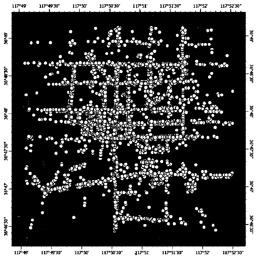
  • Land Cover Classification Method and System Based on Spatial Clustering of Crowdsource Geographic Data
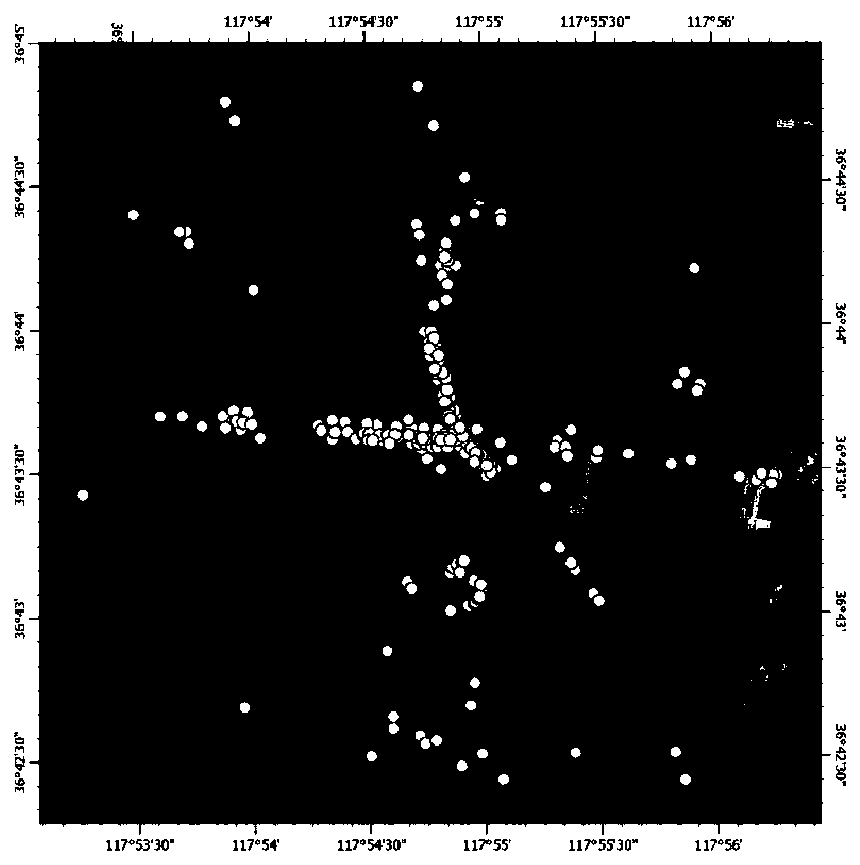
  • Land Cover Classification Method and System Based on Spatial Clustering of Crowdsource Geographic Data
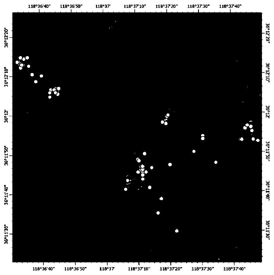
  • Land Cover Classification Method and System Based on Spatial Clustering of Crowdsource Geographic Data

Examples


Embodiment Construction

[0046] The present invention will be further described below in conjunction with the accompanying drawings and embodiments.

[0047] In order to have a clearer understanding of the technical features, purposes and effects of the present invention, the specific implementation of the present invention will be described with reference to the accompanying drawings by taking the Sina Weibo POI data set and Baidu Map POI data set in Shandong Province as examples.

[0048] The following will clearly and completely describe the technical solutions in the embodiments of the present invention with reference to the accompanying drawings in the embodiments of the present invention. Obviously, the described embodiments are only some, not all, embodiments of the present invention.

[0049] A kind of land cover classification method based on crowd source geographical data spatial clustering that the present invention proposes, such as Figure 8 As shown, the method is used for land cover cla...


PUM


Abstract

The invention discloses a land cover classification method and system based on the spatial clustering of crowd-source geographic data; the crowd-source geographic data is obtained, and the crowd-source geographic data is used as the land cover classification data; The coordinate information of the spatial position is used to carry out the spatial clustering of the data points, and the data points are clustered into several groups of data points; the several groups of data points obtained by the spatial clustering are used to delineate the land cover area containing each group of data points; The text information in each land cover area is input into the probabilistic latent semantic analysis model, and the probabilistic latent semantic analysis model outputs the land cover topics and topic weights composed of the words in the text information in each land cover area, and filters the text information in the land cover area The land cover type corresponding to the topic with the highest weight is used as the basis for judging the land cover type, and the land cover type is judged for the land cover area to be detected according to the basis for judging the land cover type.

Description

technical field [0001] The invention belongs to the technical field of land cover classification, and relates to a land cover classification method and system based on spatial clustering of crowd-source geographic data. Background technique [0002] Land cover is an indispensable basic information and key parameter for environmental change research, geographical situation monitoring, and sustainable development planning. It is very important for the study of the energy balance of the earth system, carbon cycle and other biogeochemical cycles, and climate change. meaning. At present, land cover classification mainly uses spectral and texture information in aerospace and aerial remote sensing images, combined with prior knowledge and experience, to extract the type distribution and change information of land cover. This method is time-consuming, labor-intensive, and has a long production cycle, which is difficult to meet the needs of rapid mapping of land cover products. In ...

Claims


Application Information

Patent Timeline
Patent Type & Authority Patents(China)
IPC IPC(8): G06F16/29G06K9/62
CPCG06F16/29G06F18/2321
Inventor 邢汉发孟媛吕磊侯东阳宋颉徐海滨
Owner SHANDONG NORMAL UNIV
Why Eureka
Try Eureka