Design implementation method based on power grid GIS platform map display style model base

An implementation method and a model library technology, applied in the field of design and implementation of a model library based on a grid GIS platform map display style, can solve problems such as increasing the time for users to build a model library, difficulty in describing graphic information, and lack of symbolic expression on a grid GIS platform, to achieve Effects conducive to sharing and delivery

Inactive Publication Date: 2017-09-15
INFORMATION COMM COMPANY STATE GRID SHANDONG ELECTRIC POWER +1
View PDF1 Cites 3 Cited by
  • Summary
  • Abstract
  • Description
  • Claims
  • Application Information

AI Technical Summary

Problems solved by technology

[0004] 1. Insufficient description ability: the existing map display style model is difficult to describe complex graphic information, especially the lack of symbolic expression corresponding to the grid GIS platform
Insufficient description ability will also make the editing work of map display style inefficient, which will greatly increase the time for u

Method used


Image

  • Design implementation method based on power grid GIS platform map display style model base
  • Design implementation method based on power grid GIS platform map display style model base
  • Design implementation method based on power grid GIS platform map display style model base

Examples


Embodiment Construction

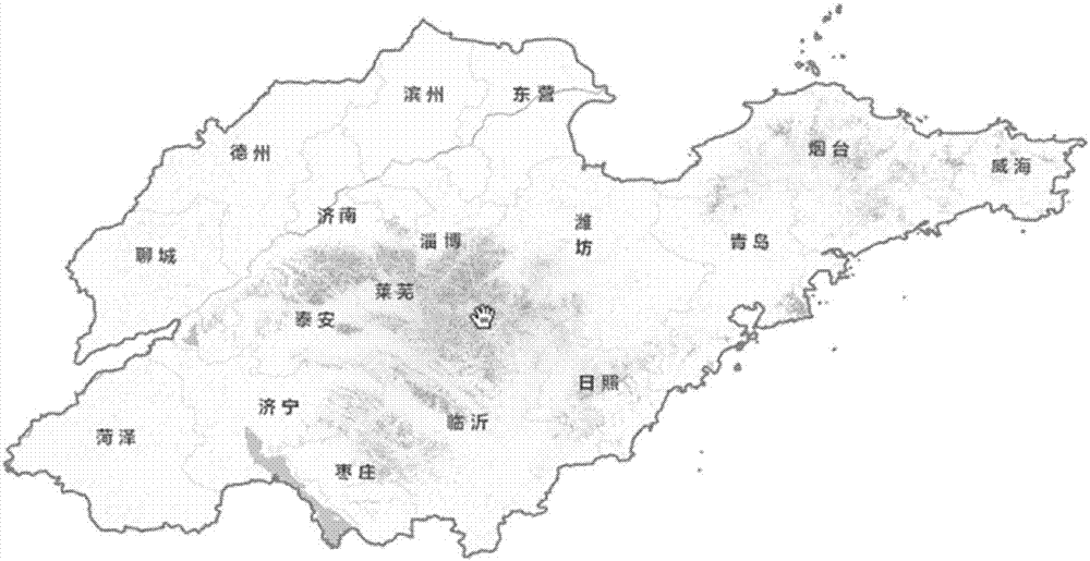
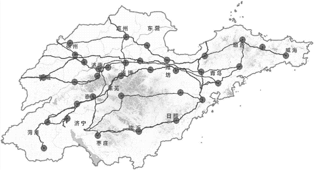
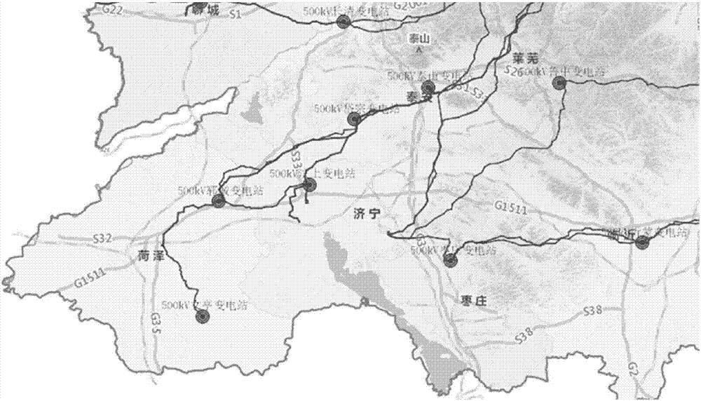
[0032] In order to clearly explain the technical characteristics of this scheme, the following refers to the "Shandong Electric Power Group Corporation Basic Geographic Data 2000 Scale Basic Geographic Data Preparation Specification", and finally forms the grid GIS platform map display style model library, such as figure 1 As shown, the model combines the diversity characteristics of Shandong's landform types, and according to the regional distribution of Shandong's landform types, extracts the main rivers and lakes when carrying out electronic map display configuration, and aims at the three-dimensional effect of Shandong's landforms on mountain structures. The specific implementation plan is as follows:

[0033] (1) Unified data format and coordinate system;

[0034] The spatial reference system of the basic geospatial data is the 2000 National Geodetic Coordinate System.

[0035] (2) Data fusion, the navigation data is fused with 1:2000 data and 1:500, and the data is impo...


PUM


Abstract

The invention discloses a design implementation method based on a power grid GIS platform map display style model base. The method comprises the steps that (1) data formats and coordinate systems are unified; (2) navigation data is fused with data according to the scale of 1:2,000 and the scale of 1:500 respectively, and the data is imported into a File Geodatabase; (3) POIs and roads are extracted and subdivided according to element codes, point annotations are subjected to layered extraction according to GEOCODE properties of a point annotation layer, annotations of the POIs obtained after subdivision, traffic, administrative division and the like are subjected to differential display, and a display scale is set for each layer; (4) annotation setting and symbolic setting are completed, an optimized map is saved, an mxd is generated, and relative paths are saved; (5) service is published, and slicing is tried; and (6) a standardized map rendering scheme is elaborated in the form of a standard or norm document, and finally the power grid GIS platform map display style model base is formed.

Description

technical field [0001] The invention relates to a design method of a GIS map display style model library, specifically a method for designing a fusion GIS map style model library based on highlighting the spatial distribution display effect of electric power equipment. It is seamlessly integrated with the maintenance management system and belongs to the field of grid GIS map display style construction and management. Background technique [0002] In November 2011, State Grid Shandong Electric Power Company officially launched the construction of the geographic information platform, and completed the online acceptance in December 2012. Since the construction of the platform, the province-wide coverage of power grid resource equipment and basic geographic data has been realized. Basic geospatial data is an important part of the power grid GIS platform. The basic geospatial data includes 2.5m SPOT image, 1:10000 navigation data, sub-meter image, 1:2000 vector data and 1:500 ve...

Claims


Application Information

Patent Timeline
IPC IPC(8): G06F17/30
CPCG06F16/29
Inventor 严文涛王丞远刘范范王赛曲延盛张悦李刚韩圣亚赵忱付本娟宫淑卿赵阳林鹏赵晓汤耀庭刘子雁朱韶松汤琳琳张凯黄振
Owner INFORMATION COMM COMPANY STATE GRID SHANDONG ELECTRIC POWER
Why Eureka
Try Eureka